Category: Travel

  • The North Island, NZ.

    Wellington, Napier, Taupo, Cambridge/Hamilton, Orewa, Whangarei, Russell, Paihia, Muriwai Beach, Auckland.

    Today, May 22, 2026, I decided that I must write up the last blog for our NZ trip, partly to have a delightful trip back there through photos and memories, but also because the weather outside here at Lennox is foul, cold, windy and showery. Nice day to retreat to my office.

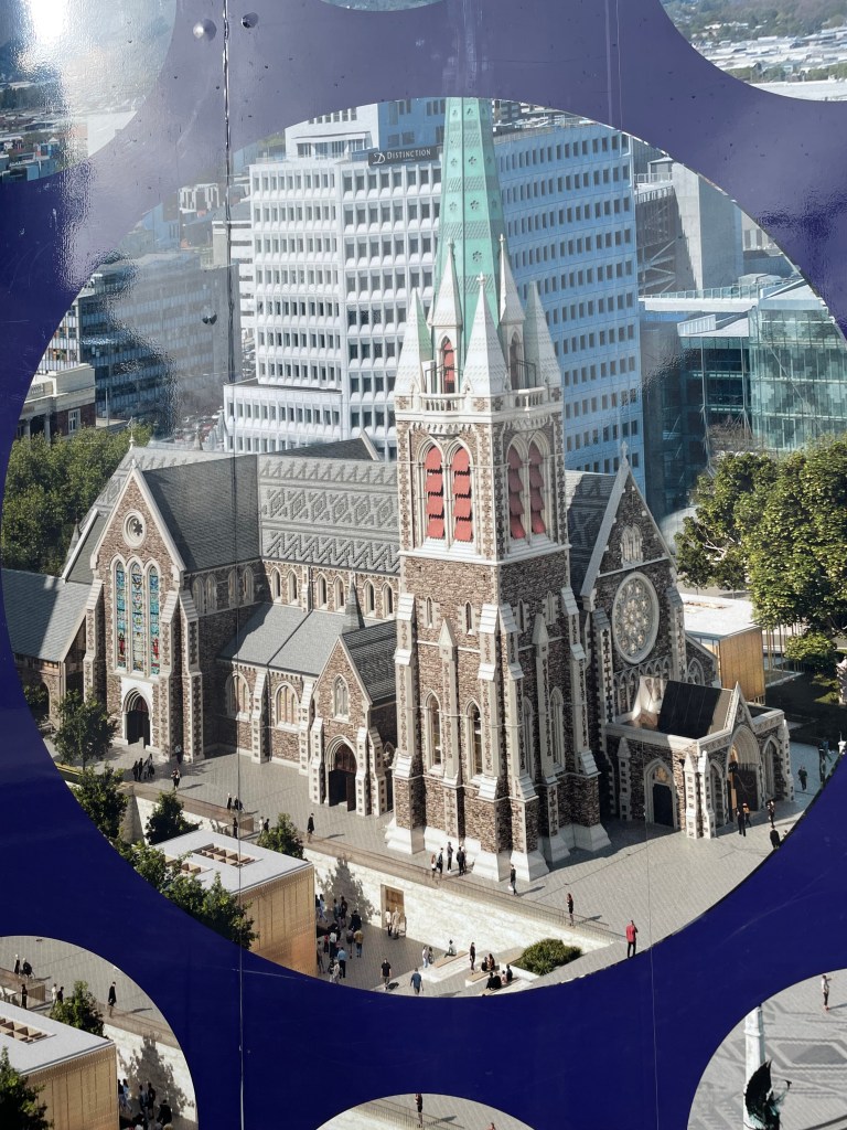
    So, we arrived into Wellington on the Interislander Ferry in the evening. The lights of Wellington sparkled over the harbour. As we disembarked from the bottom of the ferry, we were straight into navigation mode, as we faced multiple lanes of peak hour traffic. Our destination camp was not too far away, thankfully, but together we did a good job getting there without a major argument. Next day, I said we really should go into the capital city of NZ, look around, before we head north, but the discussion of coping with another peak hour of traffic in the van didn’t go well, so Wellington is a trip for another time.

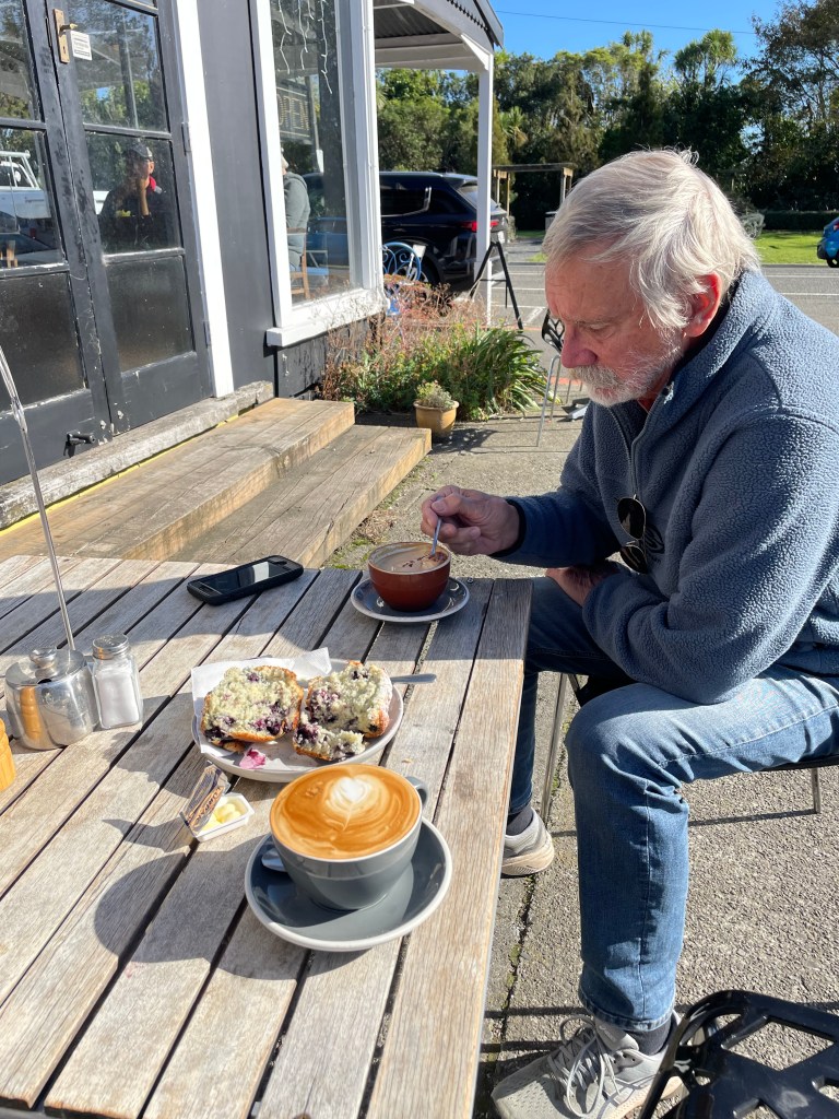
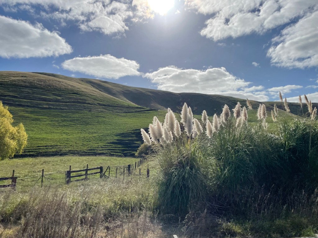
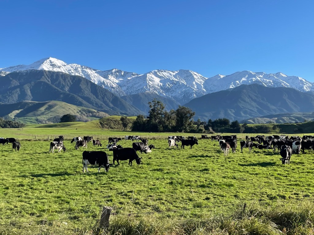
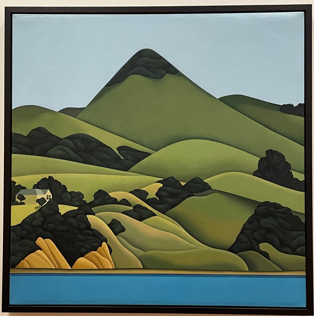
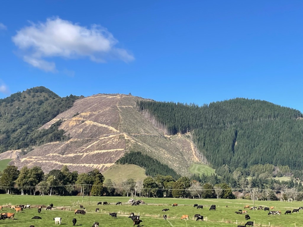
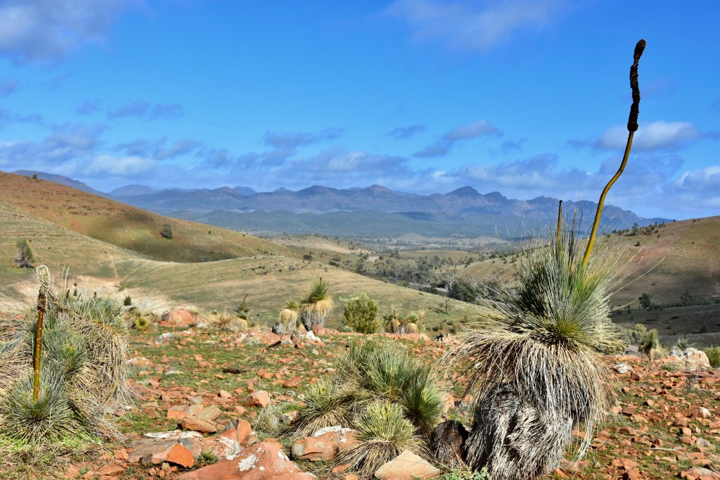
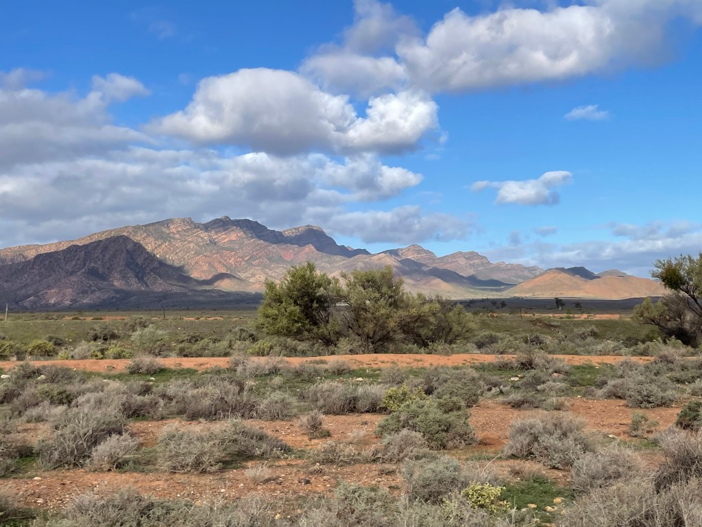
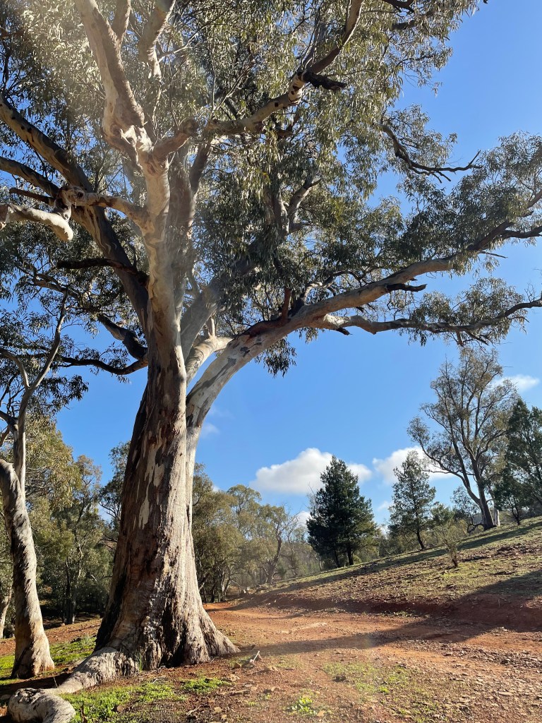
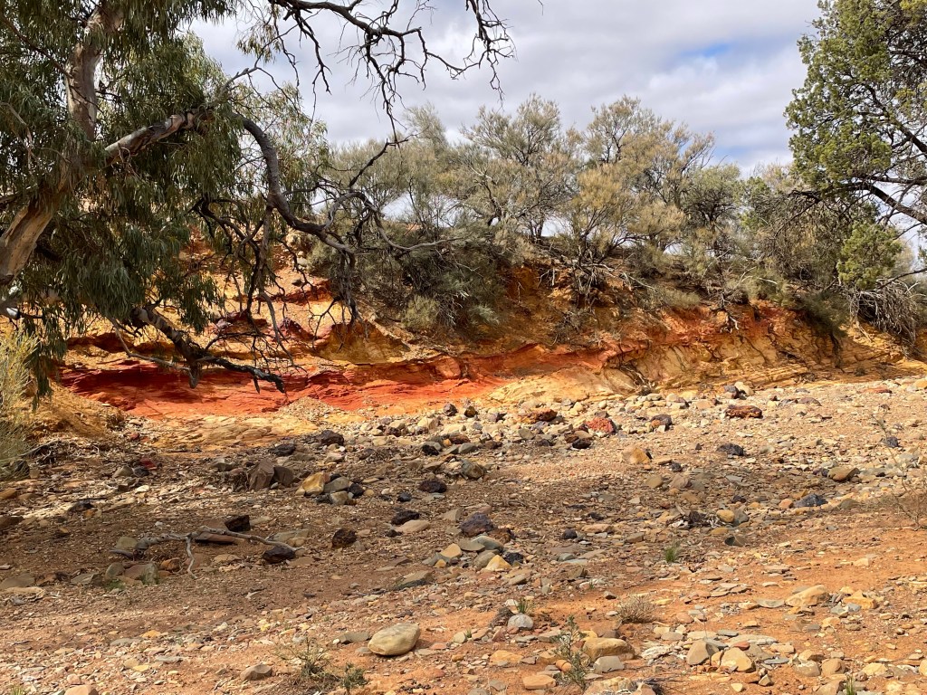
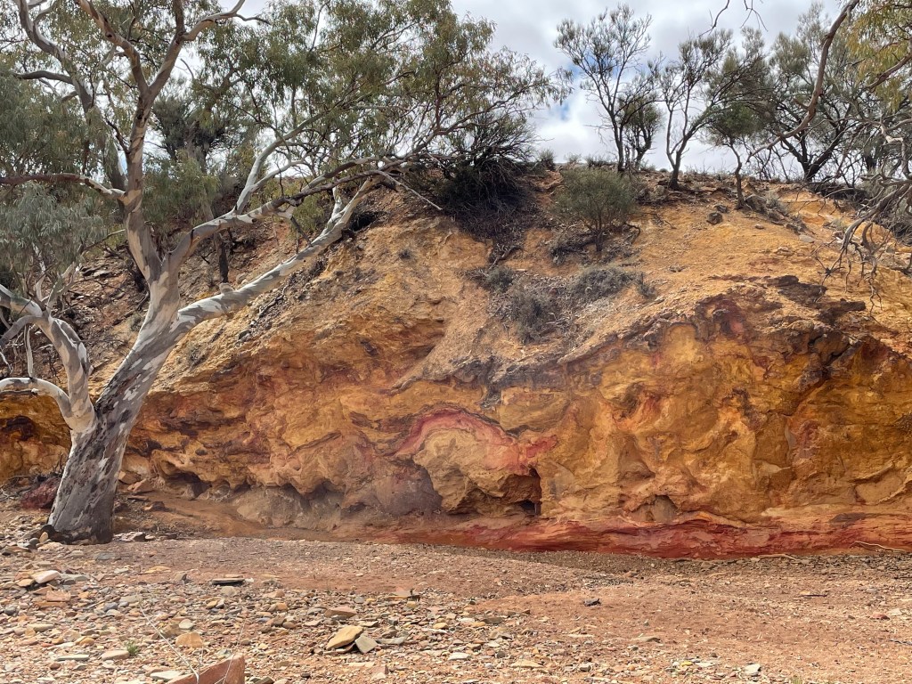
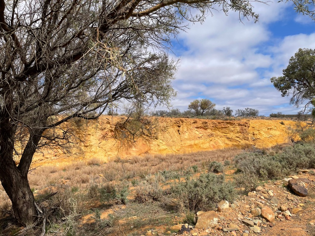
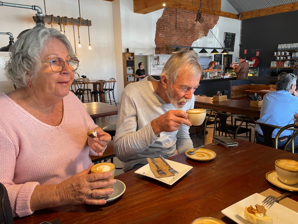
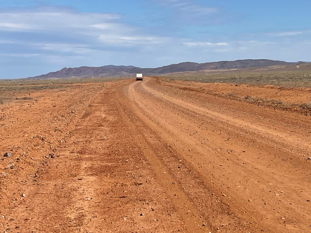
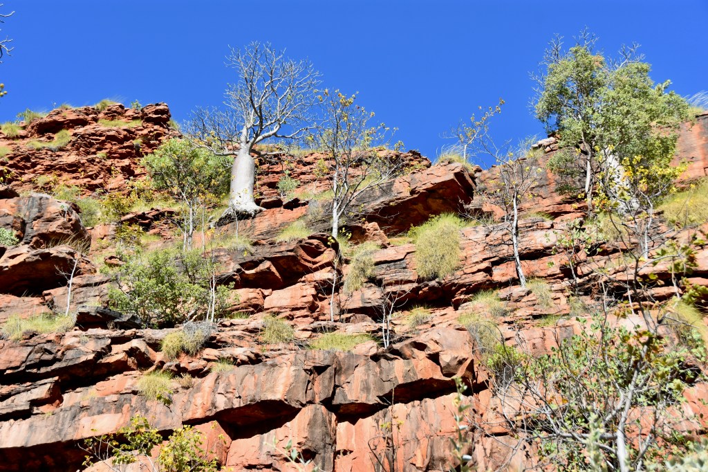
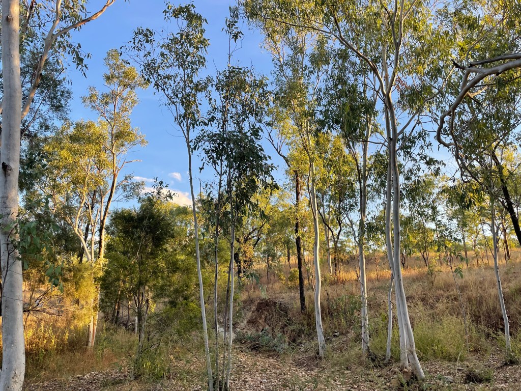
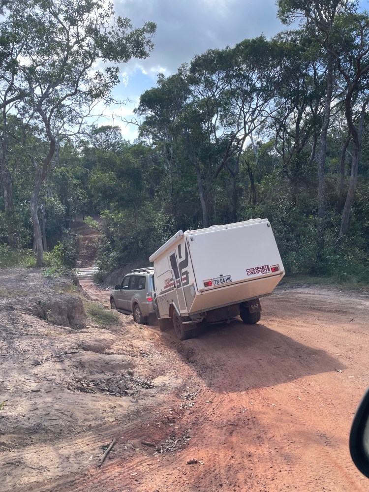
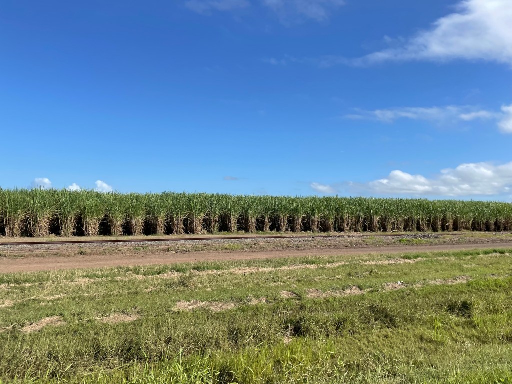
    So off we headed along Highway 1 once again, through the middle of the island via Palmerston North across to Napier. Stopping at cute little towns for coffee was mandatory. The mountains and hills were low and rolling now, not as picturesque as the south island, but gentle, full of sheep and cows and hedges, but also the dreaded pampas grass. Someone said it was a weed from Australia. But it is native to southern South America and is an invasive noxious weed in Australia too. Anyway, it was everywhere, at times I saw hillsides with young pine plantations, sprouting pampas grass all through the pines. What an environmental nightmare.

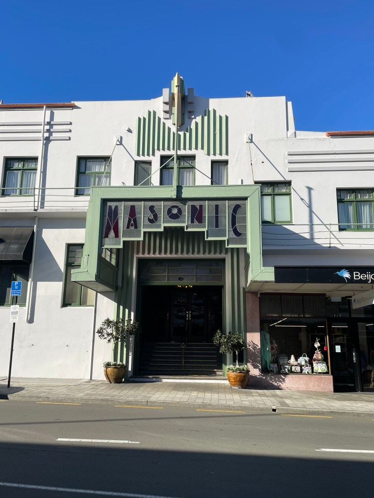
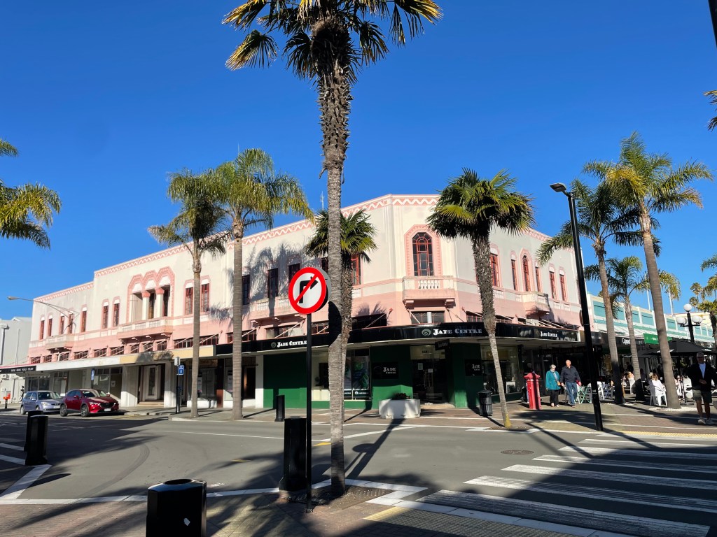
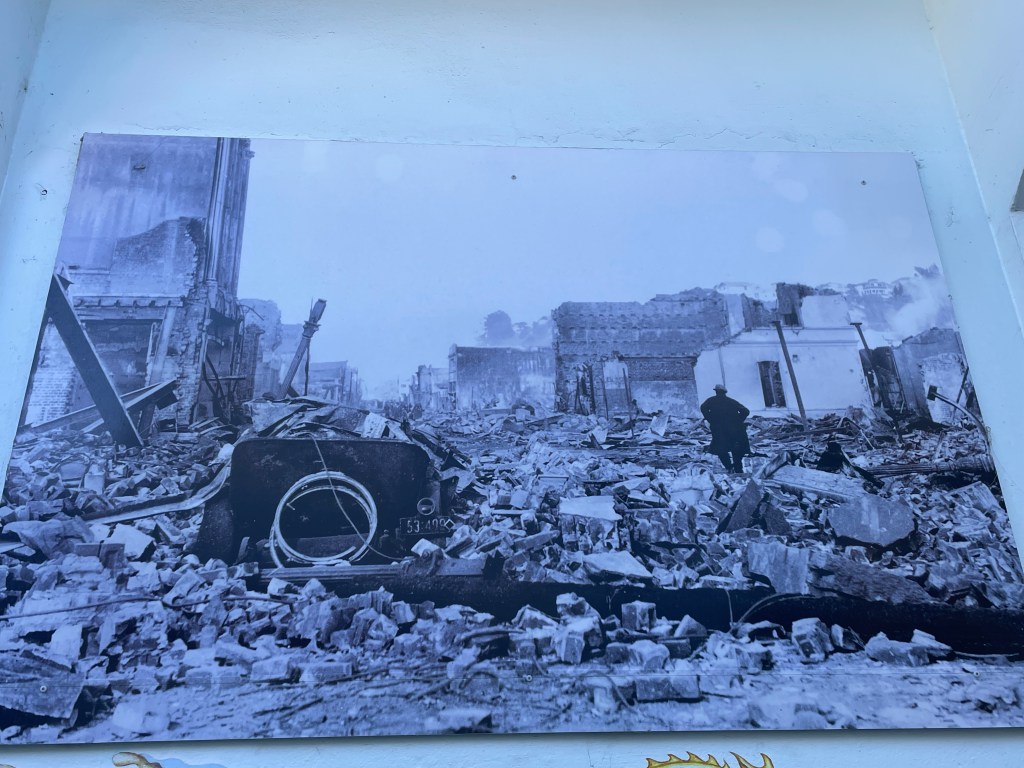
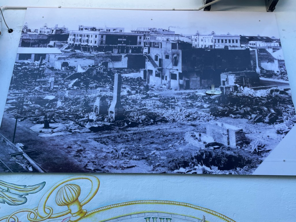
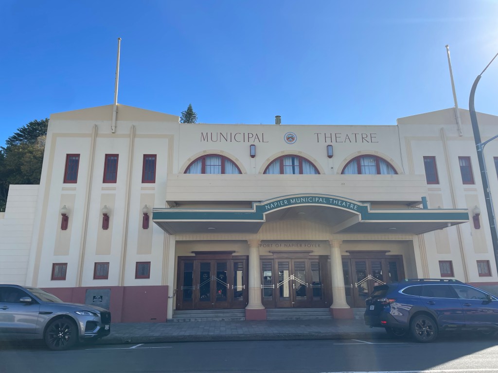
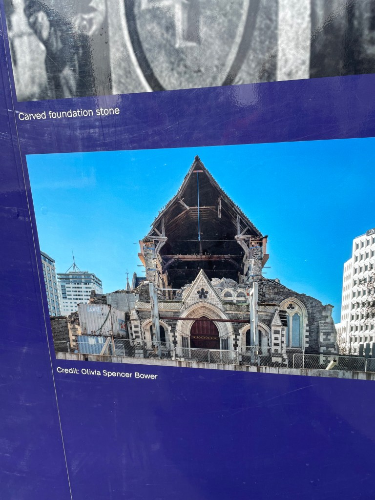
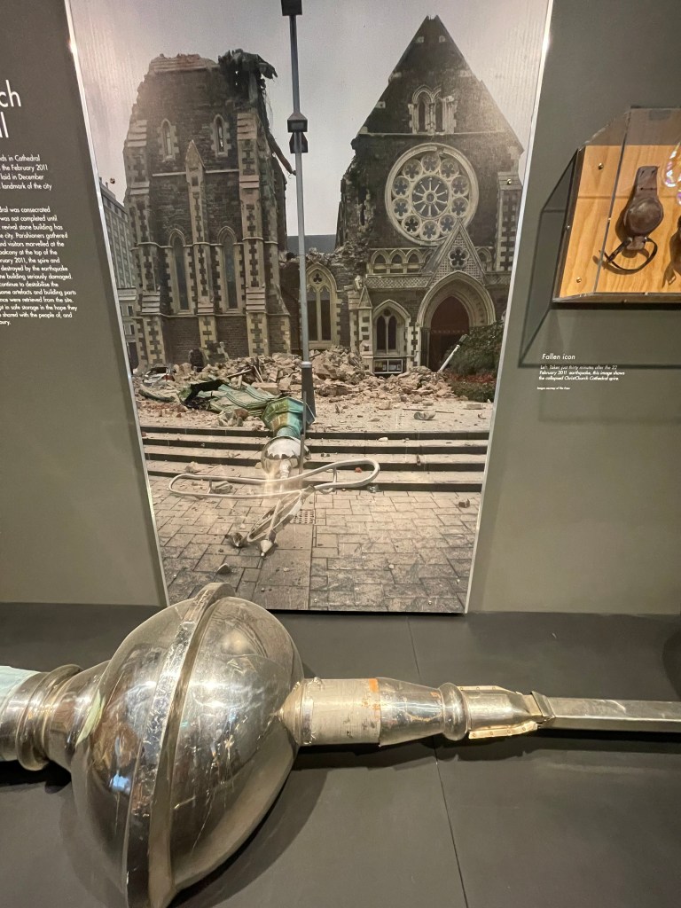
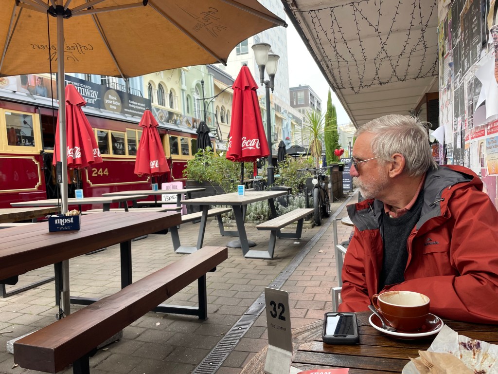
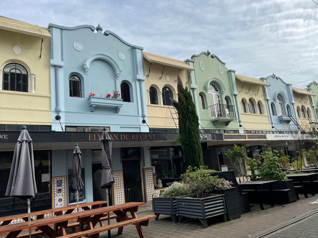
    Anyway, got to Napier and thoroughly enjoyed the art deco buildings in the main city area. We went to the Napier Quake museum and saw how devastated the town was in 1931. Quite an inspired move to make all the new buildings fit the same genre.

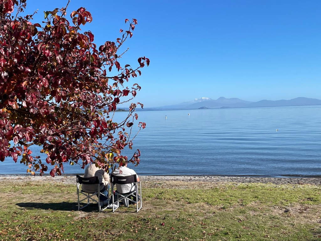
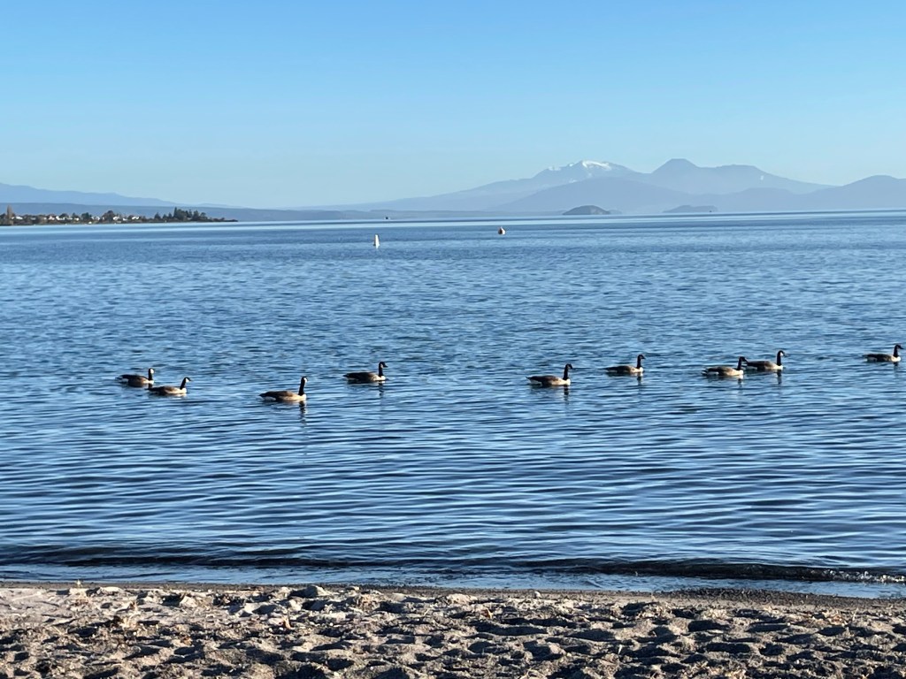
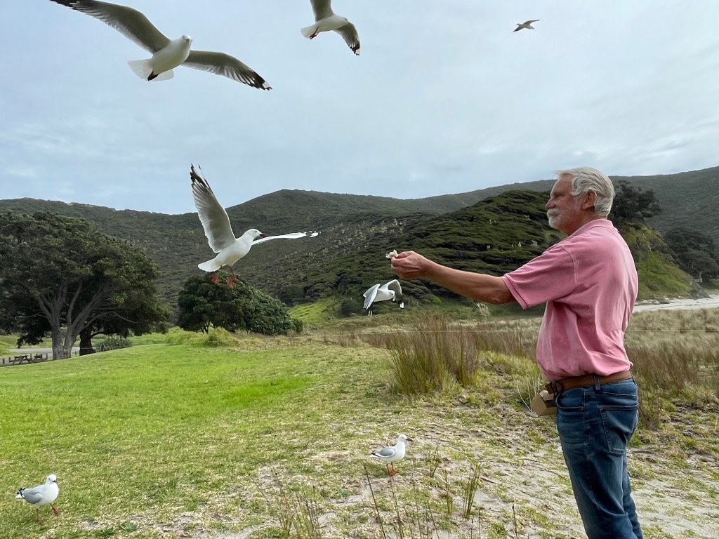
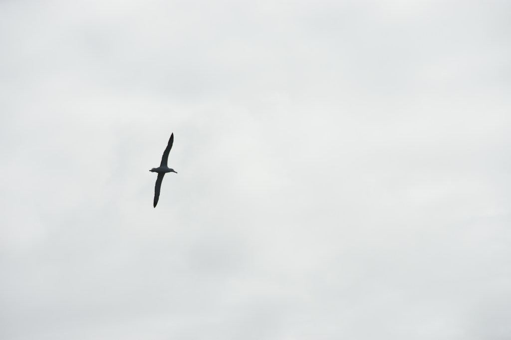
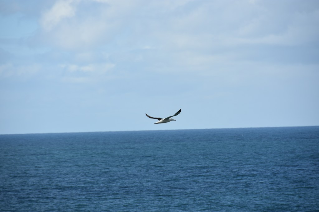
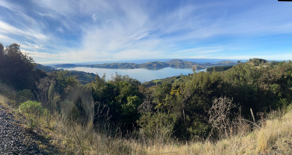
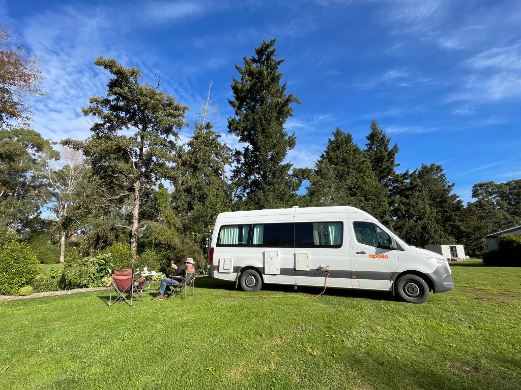
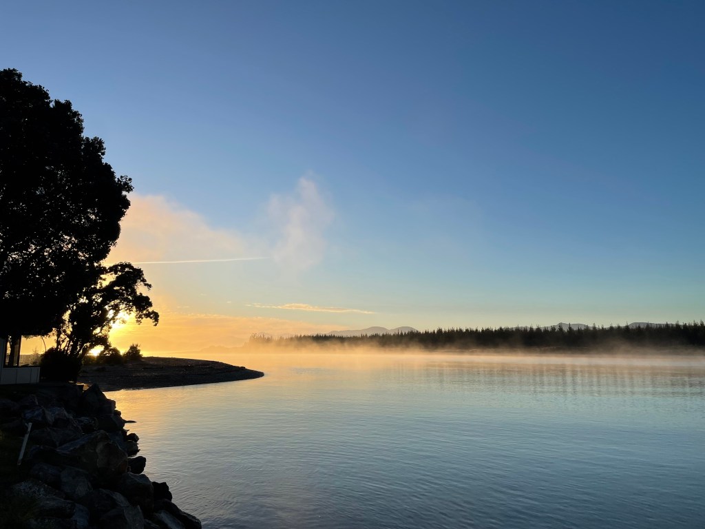
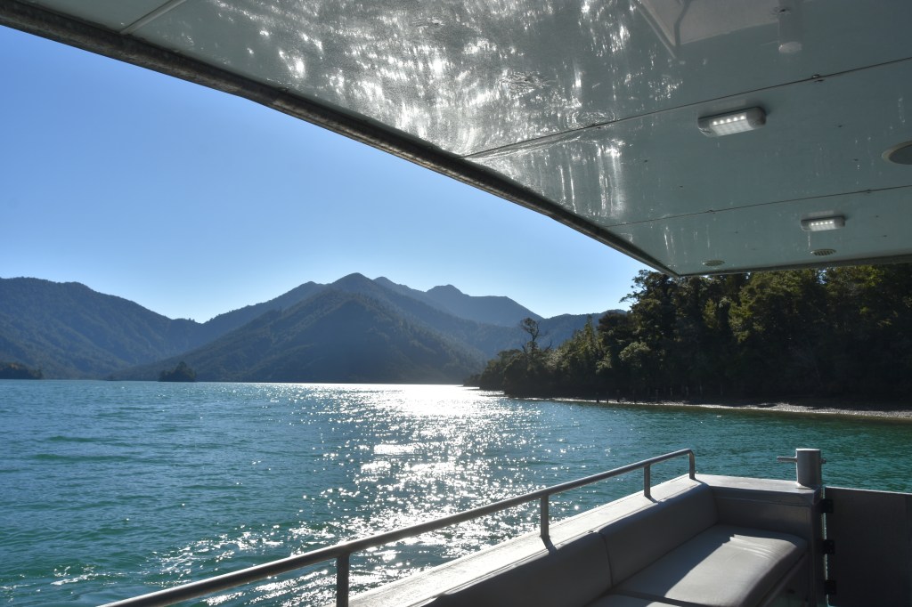
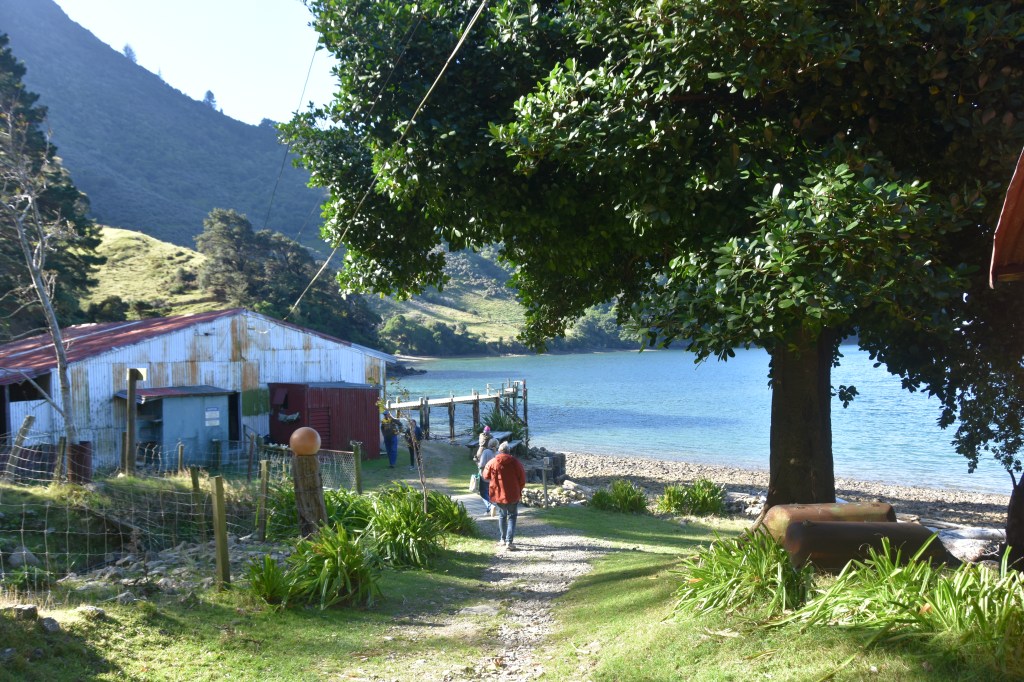
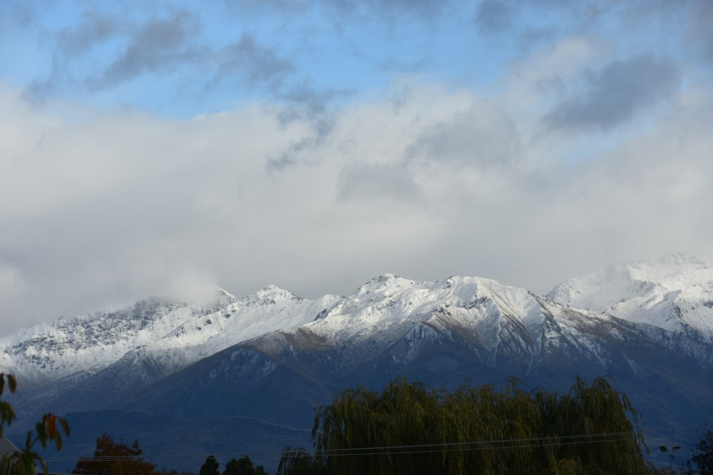
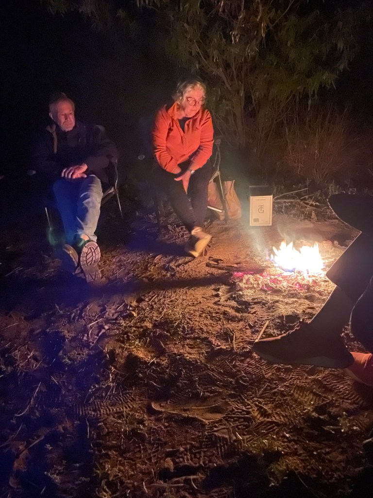
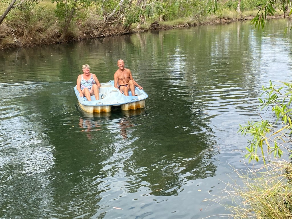
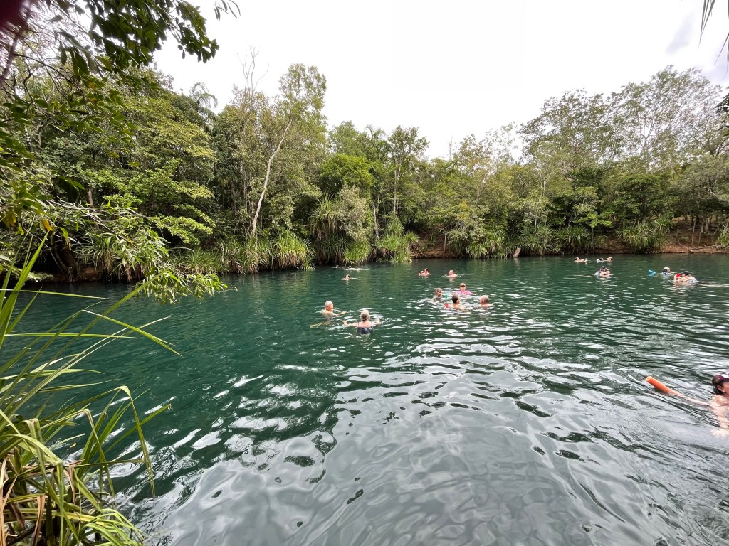
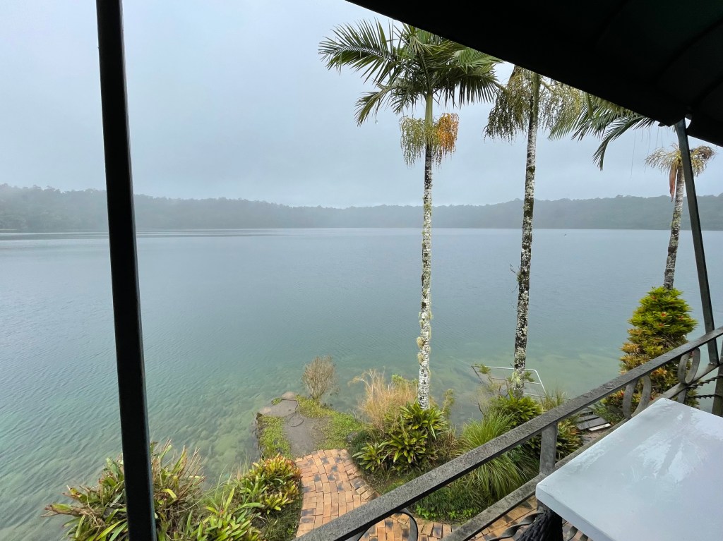
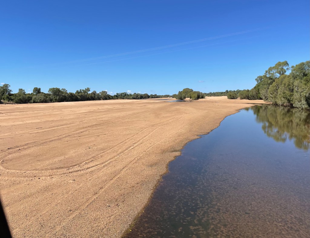
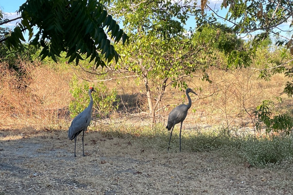
    Taupo was the next stop. It was a calm warm afternoon there so we pitched the camp chairs on the bank of the Lake, got out our afternoon snacks, and watched the birds for ages.

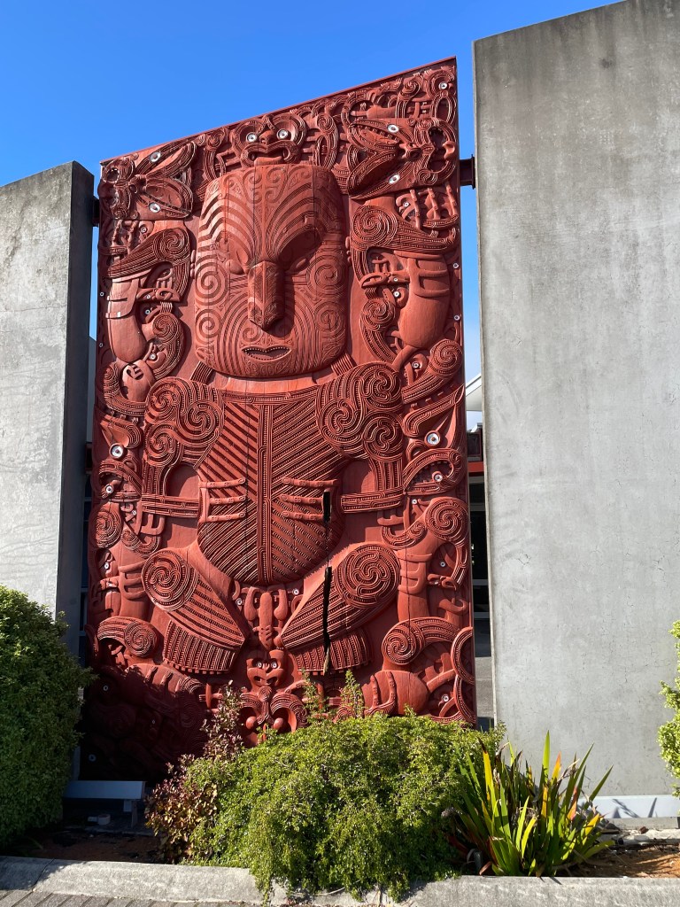
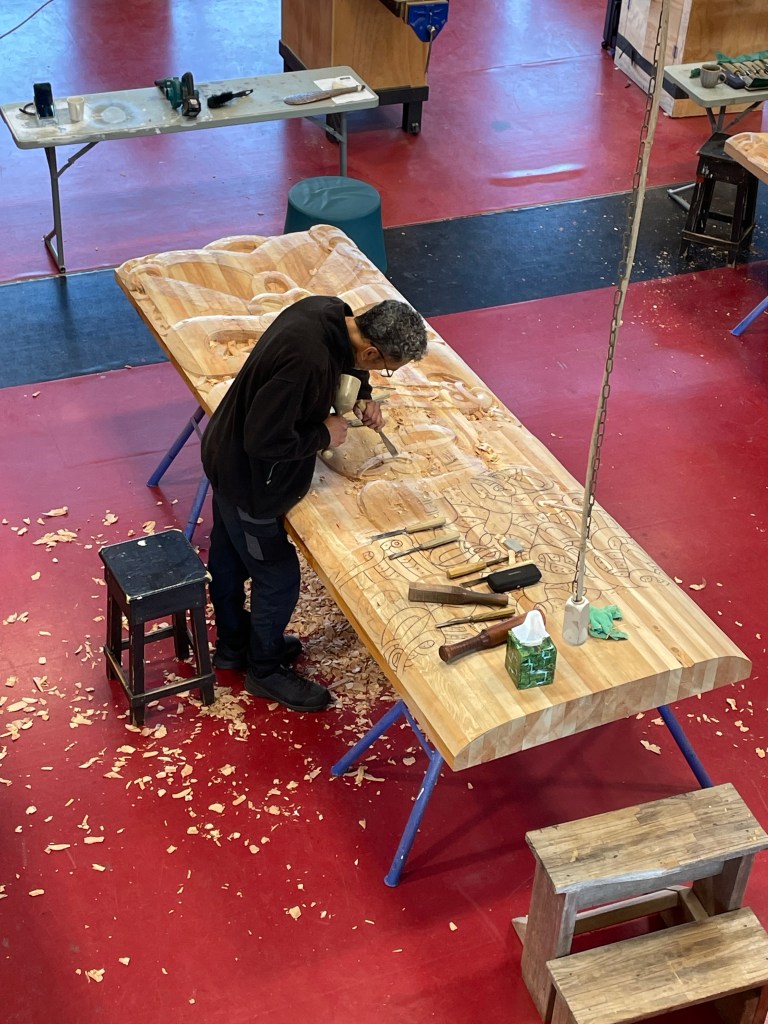
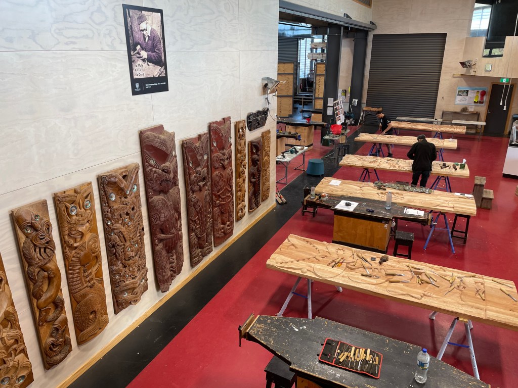
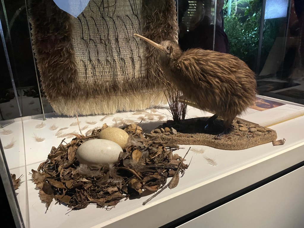
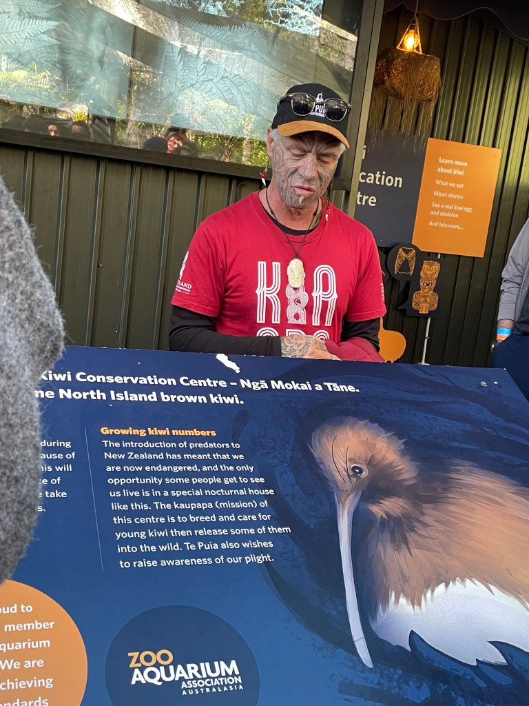
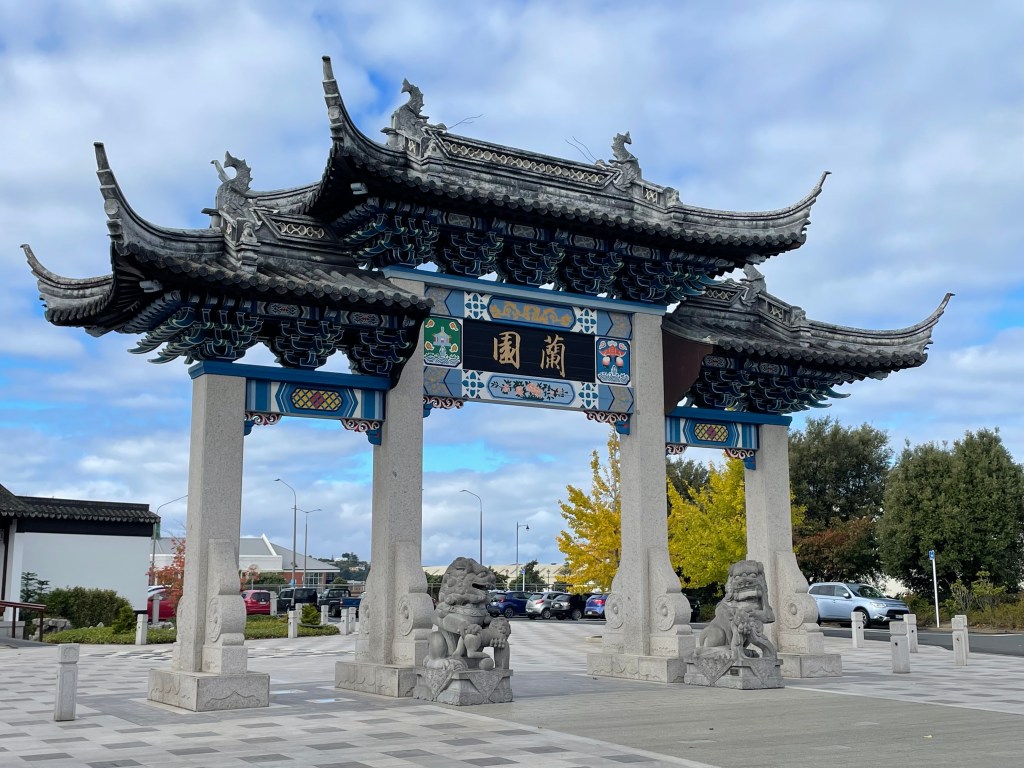
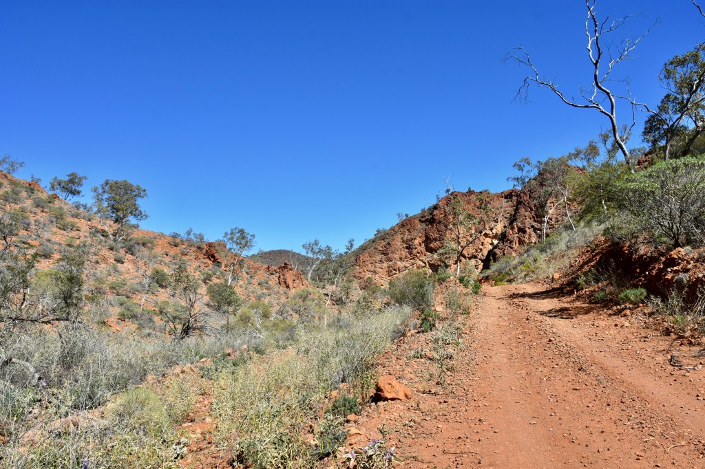
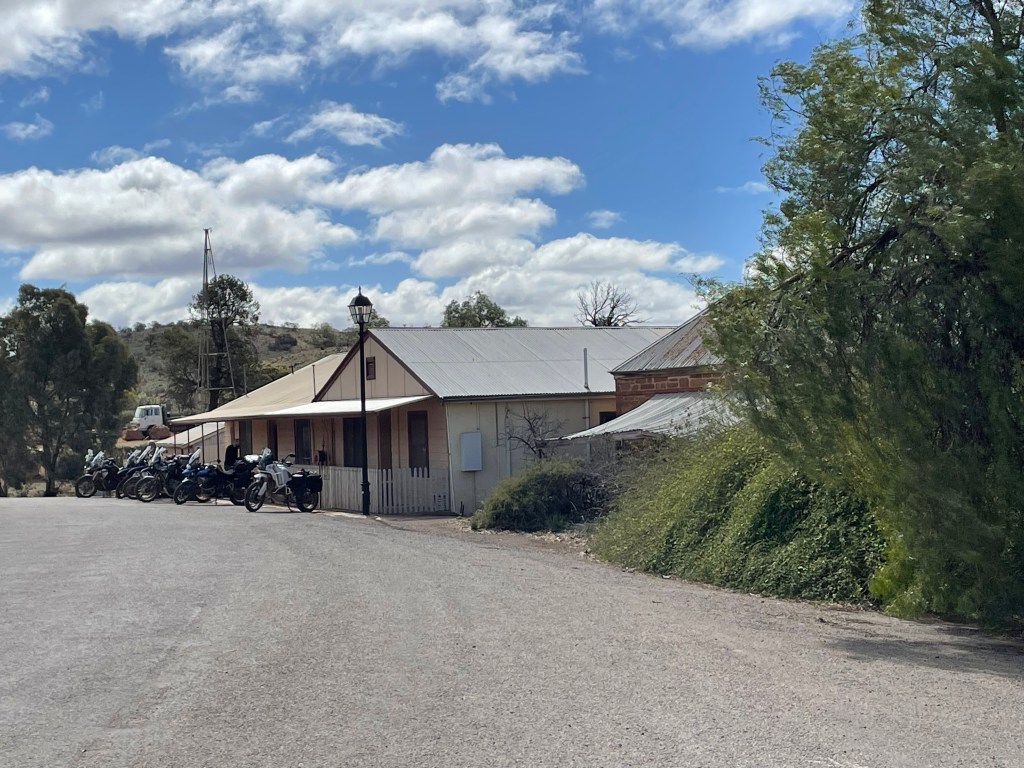
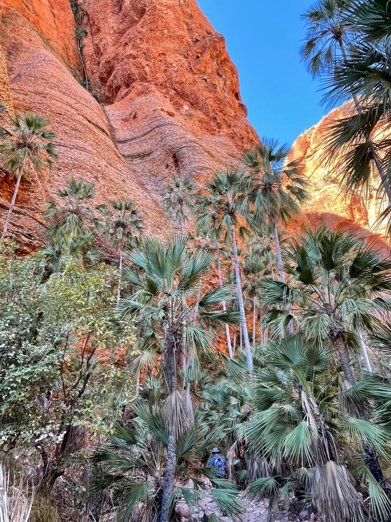
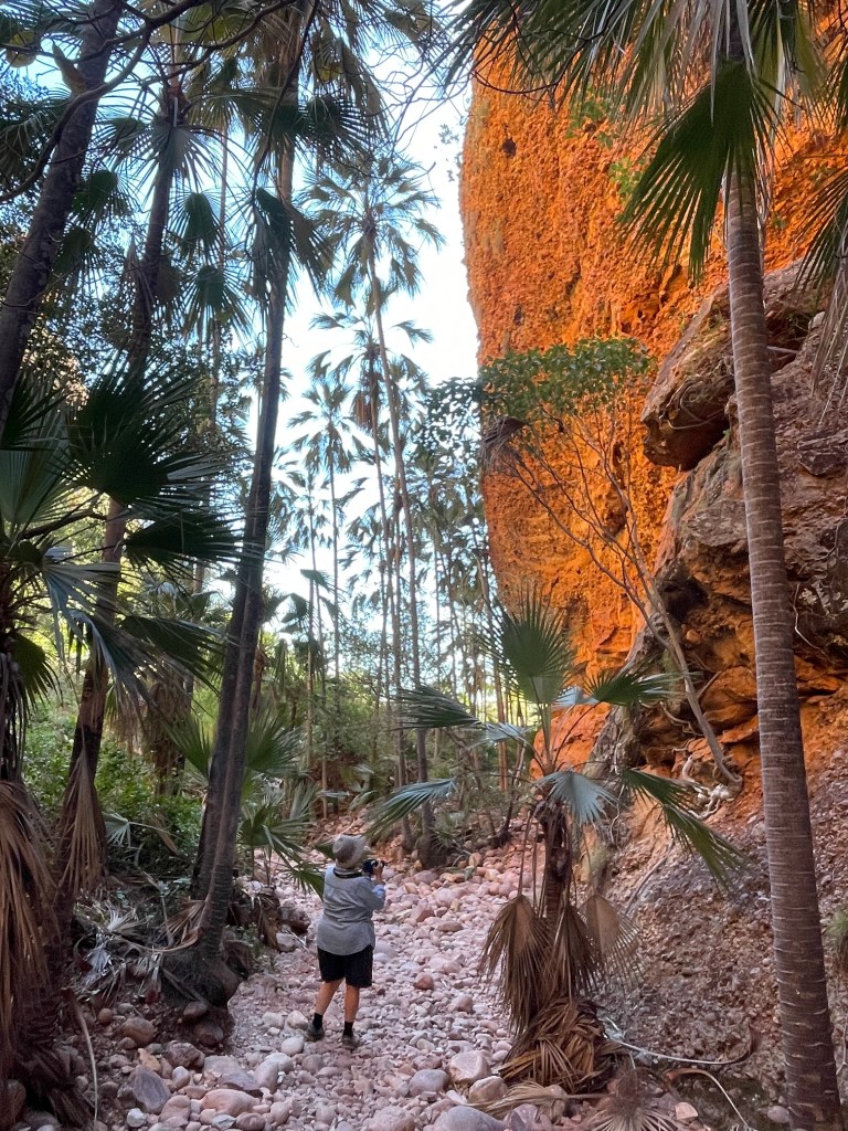
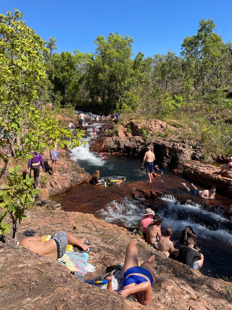
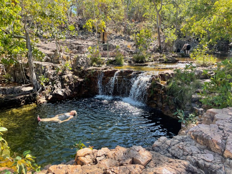
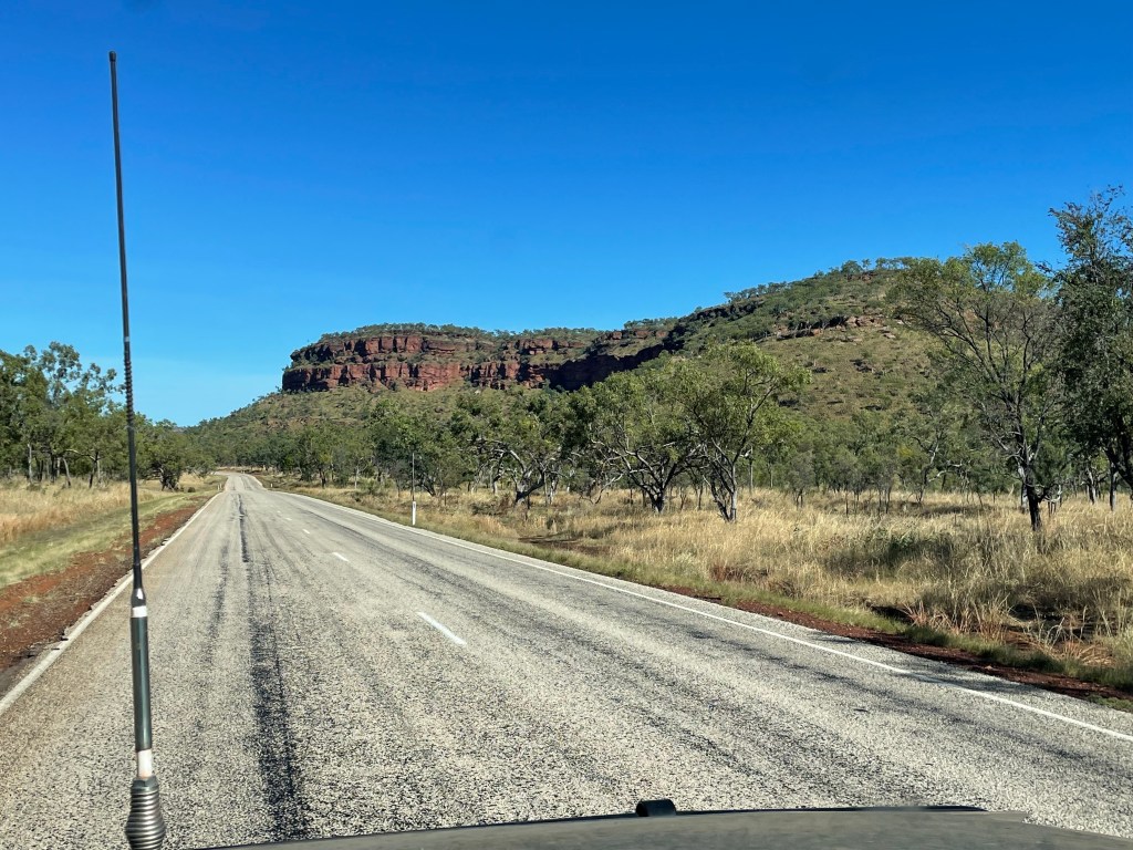
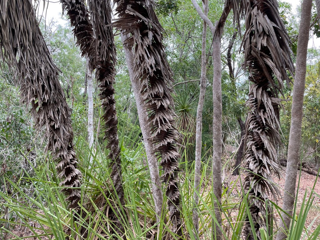
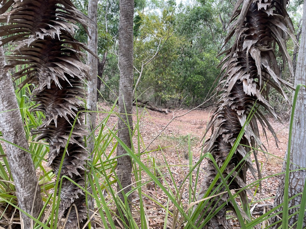
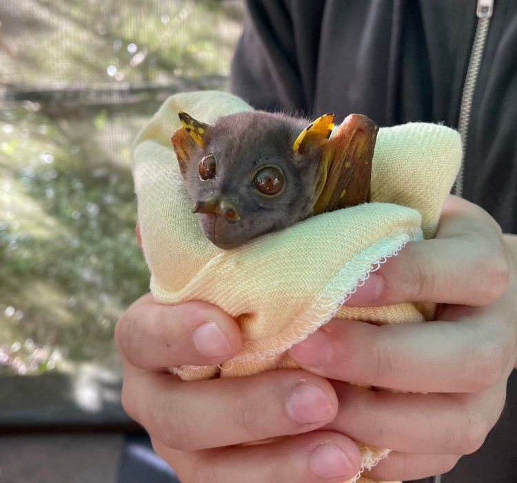
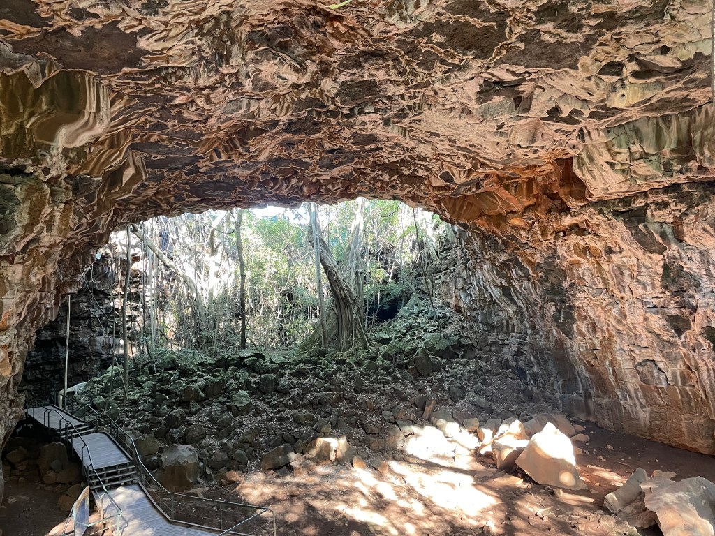
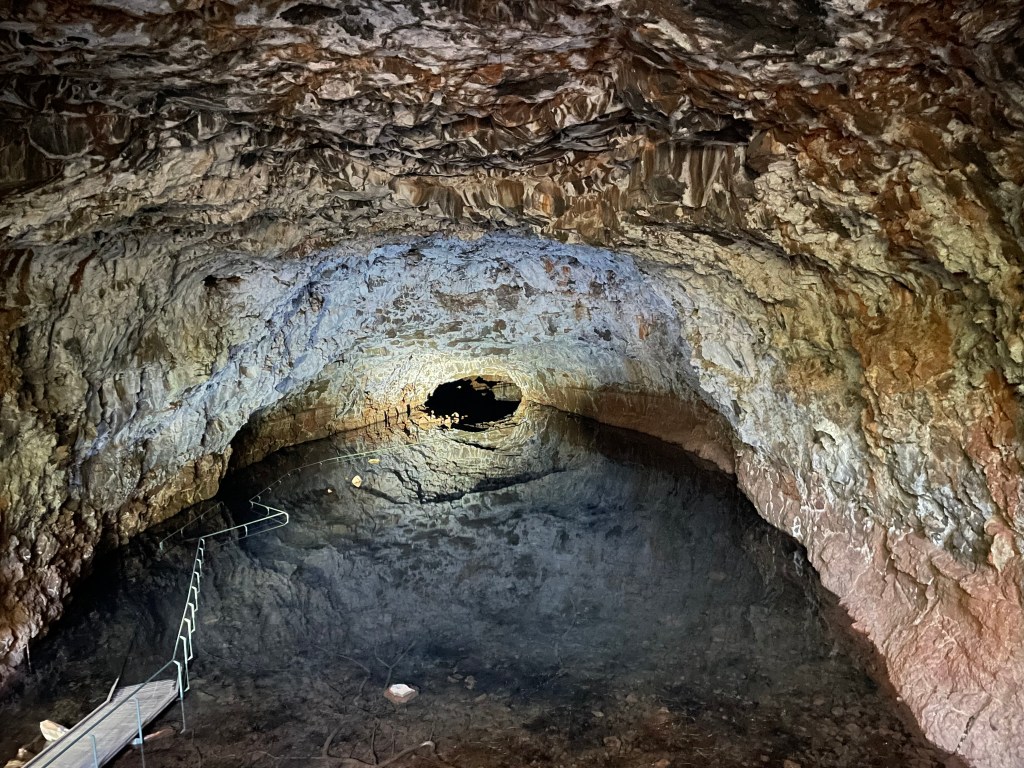
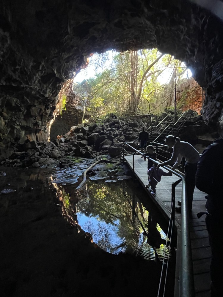
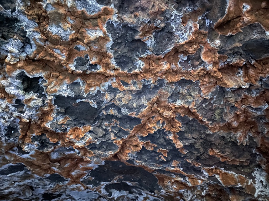
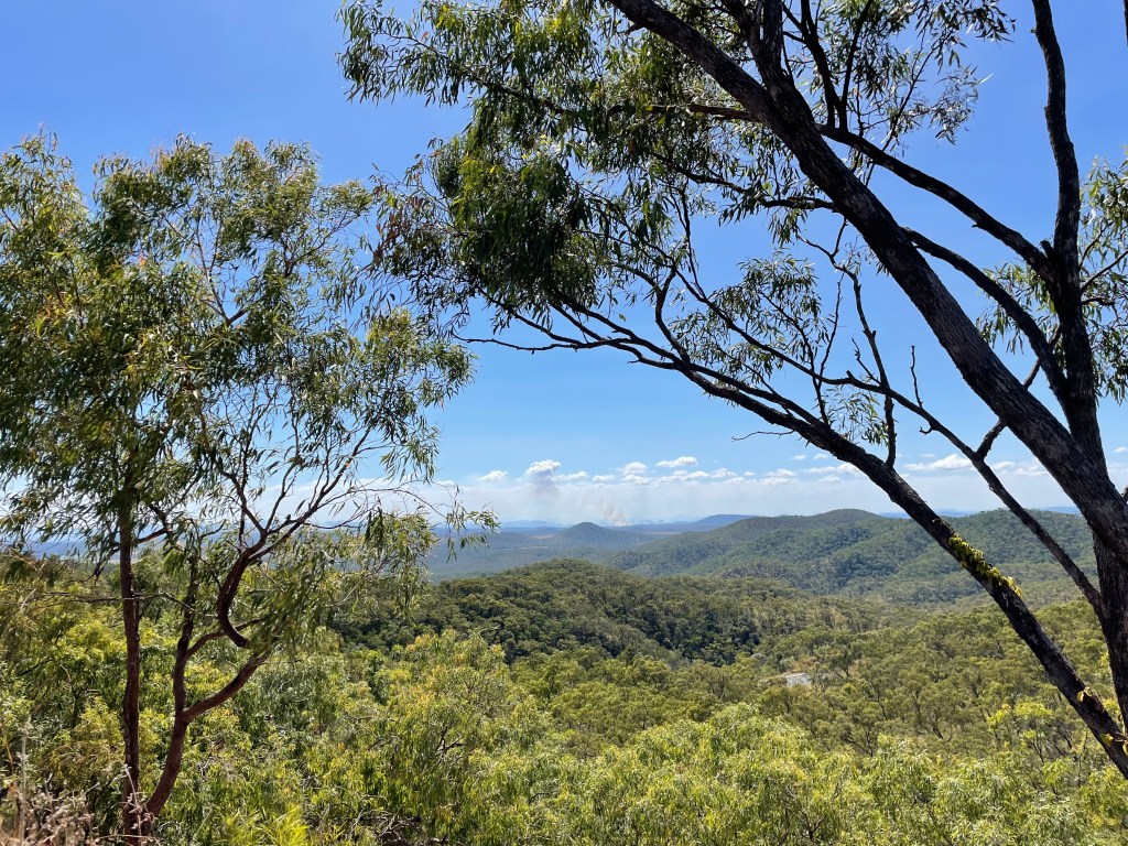
    We wanted to touch in to Maori culture. Headed to Rotorua. We chanced on Te Puia, home to the geothermal valley, as well as a Maori arts and crafts institute, where we could see wood carving, weaving, stone and bone carving. There was a Conservation centre where we saw Kiwi birds, a bit sleepy as they are nocturnal. Our excellent guide took us through the arts area and then onto the bubbling mud pools and gushing geysers. I wish I’d had my video camera on when he explained each of the tattooed lines on his face, that answered a question I would never feel comfortable asking a Maori person. After a concert performance and lunch, we pressed on further north.

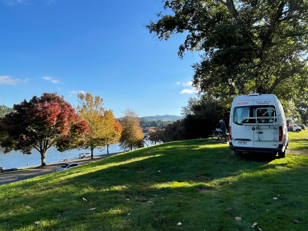
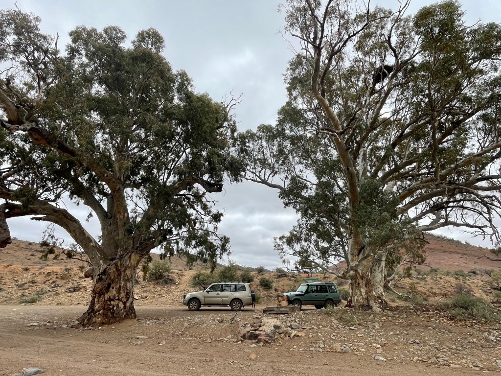
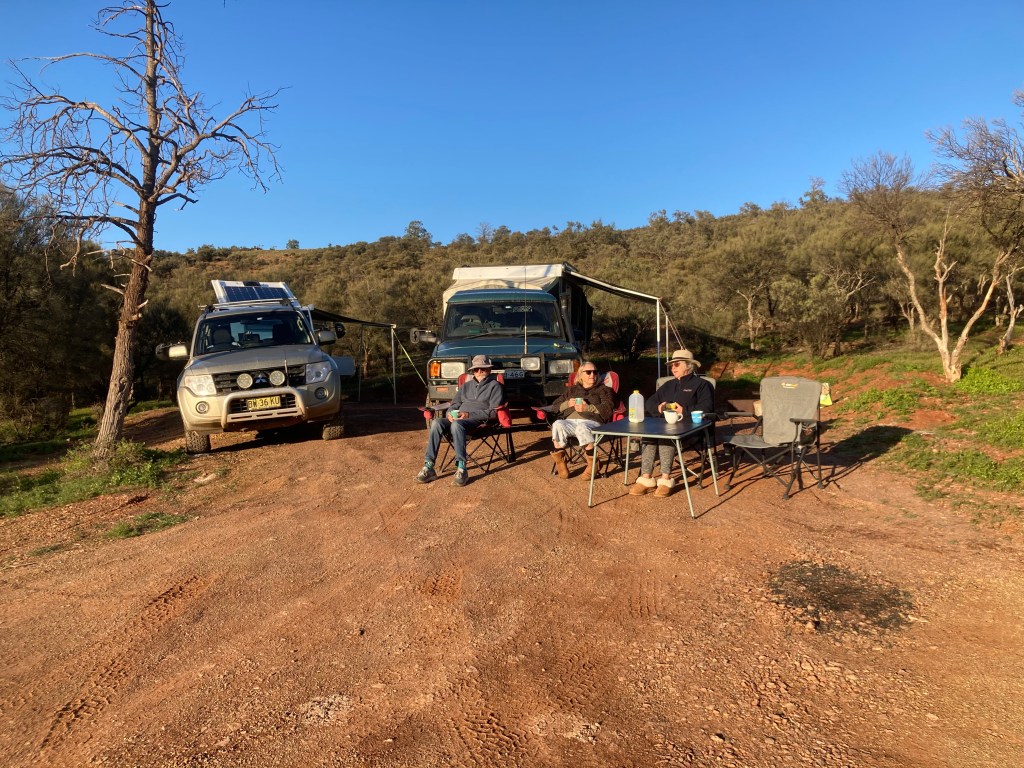
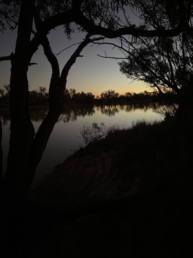
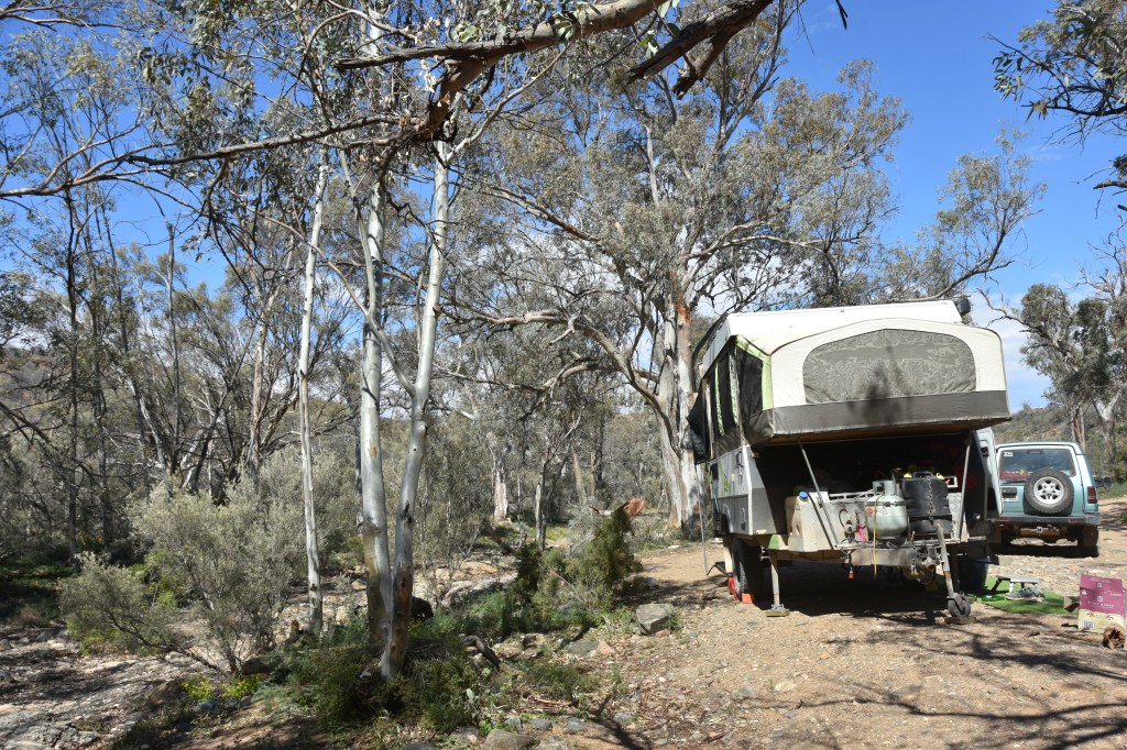
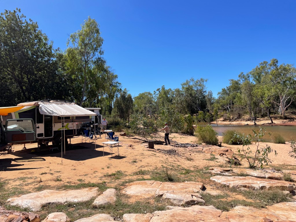
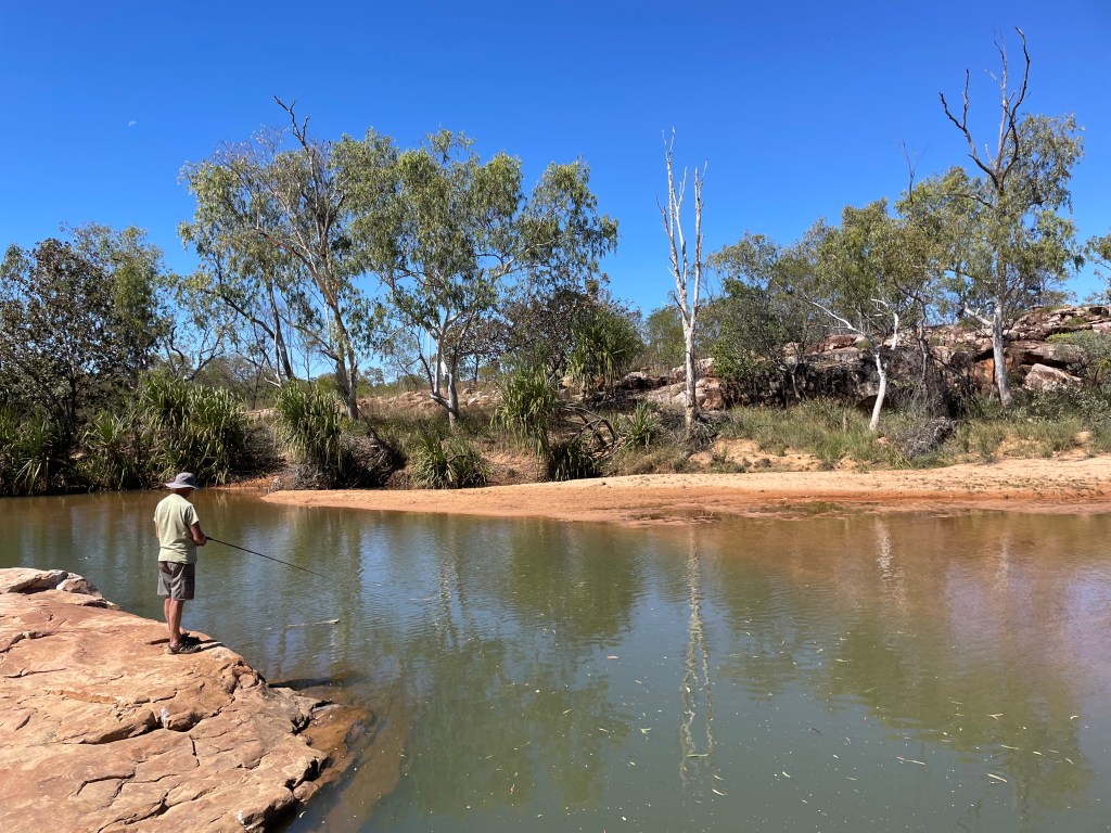
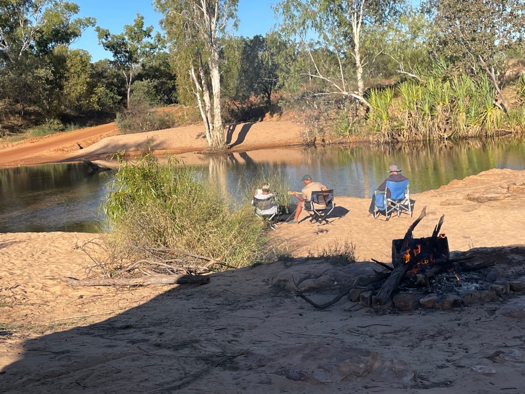
    Just before Cambridge, we found a beautiful free camp spot on the Waikato River. Rowers glided past silently and scoobi doos created a racket!

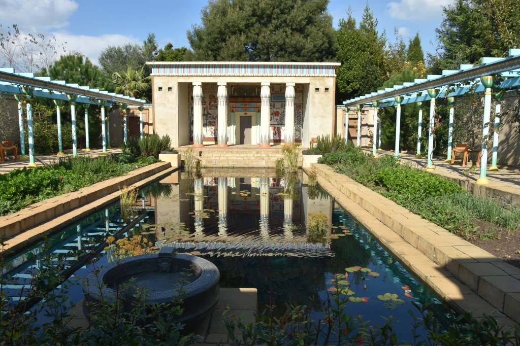
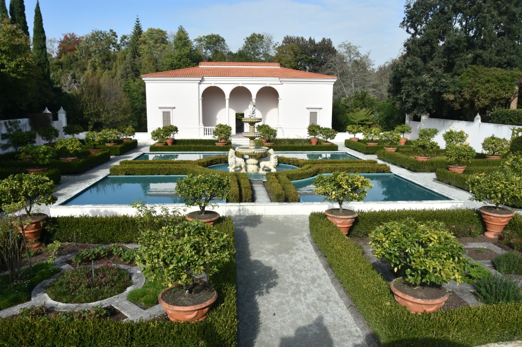
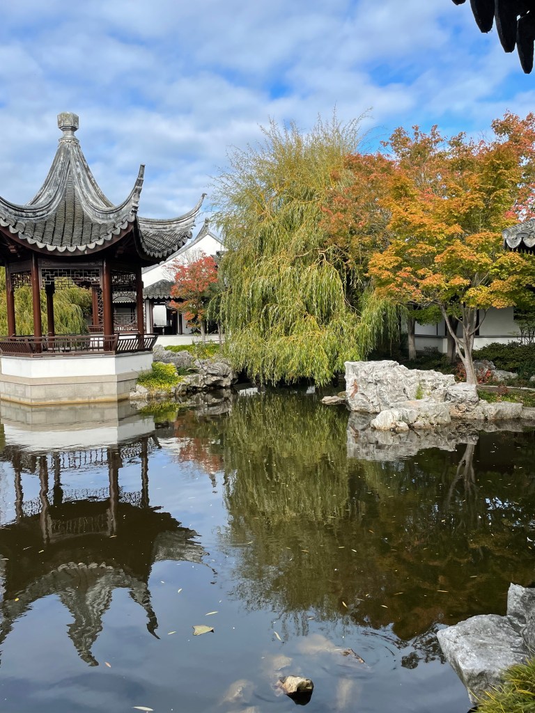
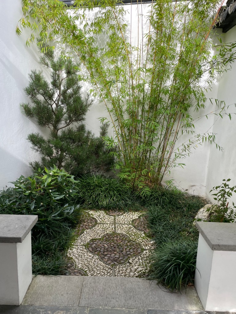
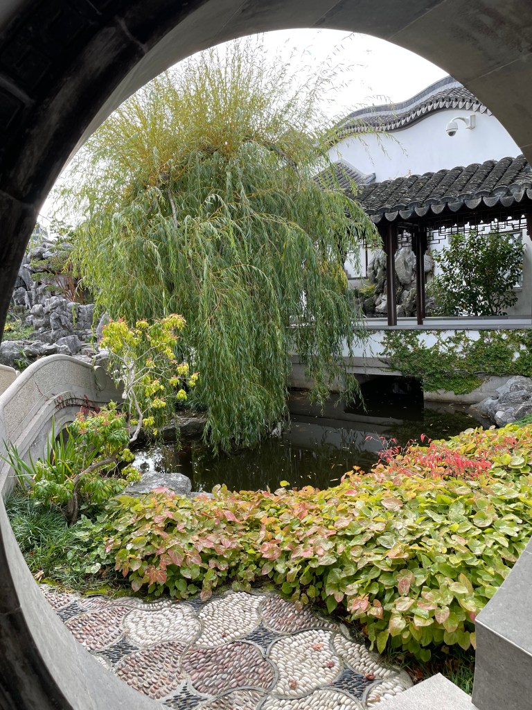
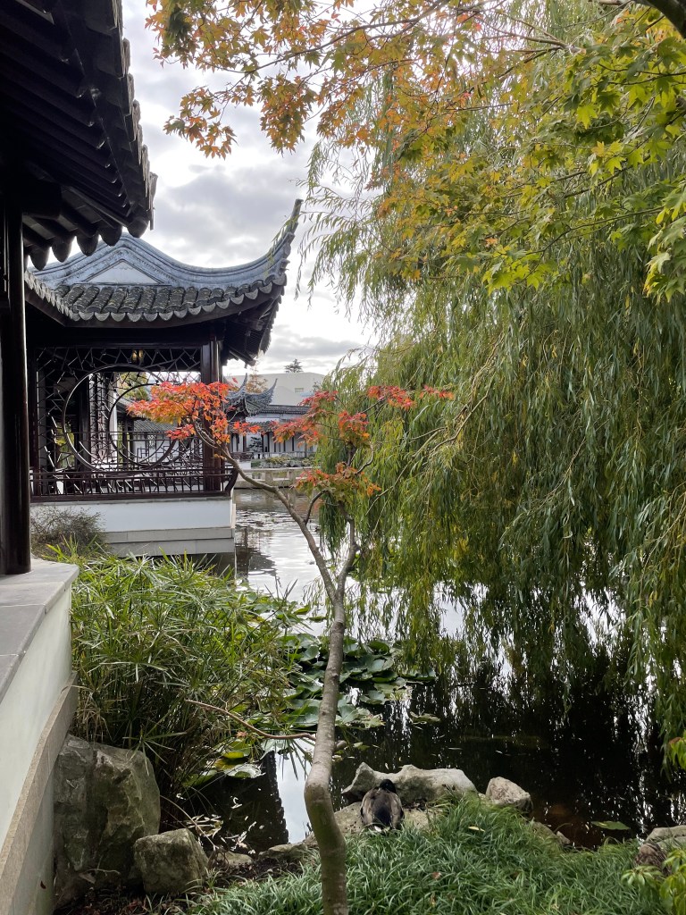
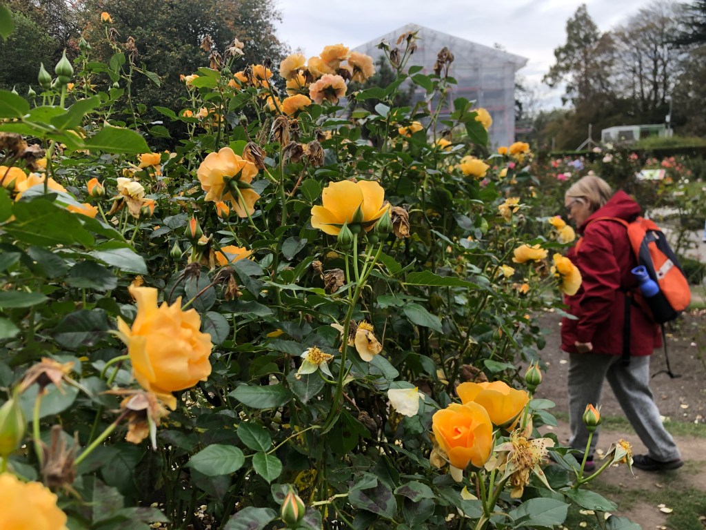
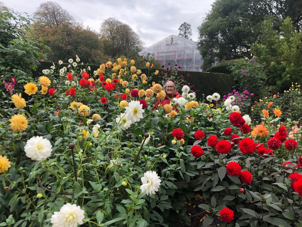
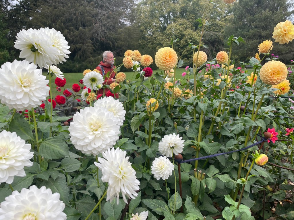
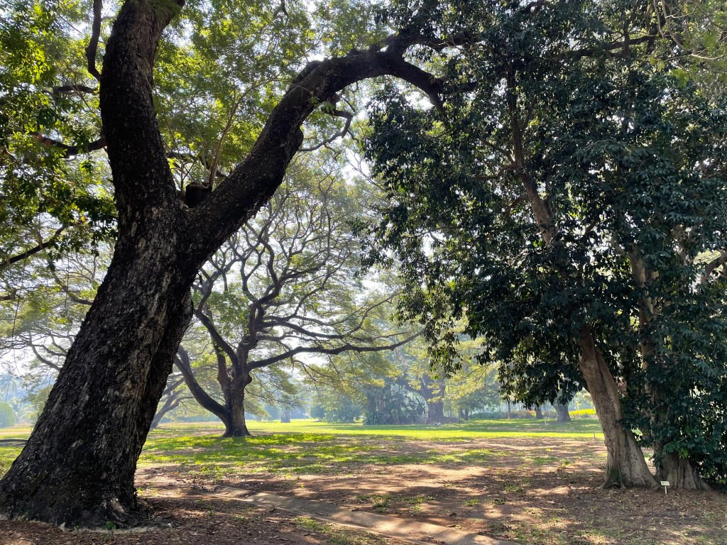
    I wanted to see Hamilton Gardens. So we decided to sacrifice the Coromandel Peninsular for another time. The Gardens “examine the evolution and meaning of gardens throughout history”. There are 18 different displays in either the Fantasy Garden Collection, Productive Garden Collection or the Paradise Garden collection. It began on waste land in the 1960’s. Council land was used to develop the 130 acres into the gardens as they are today. It was interesting but not amazing.

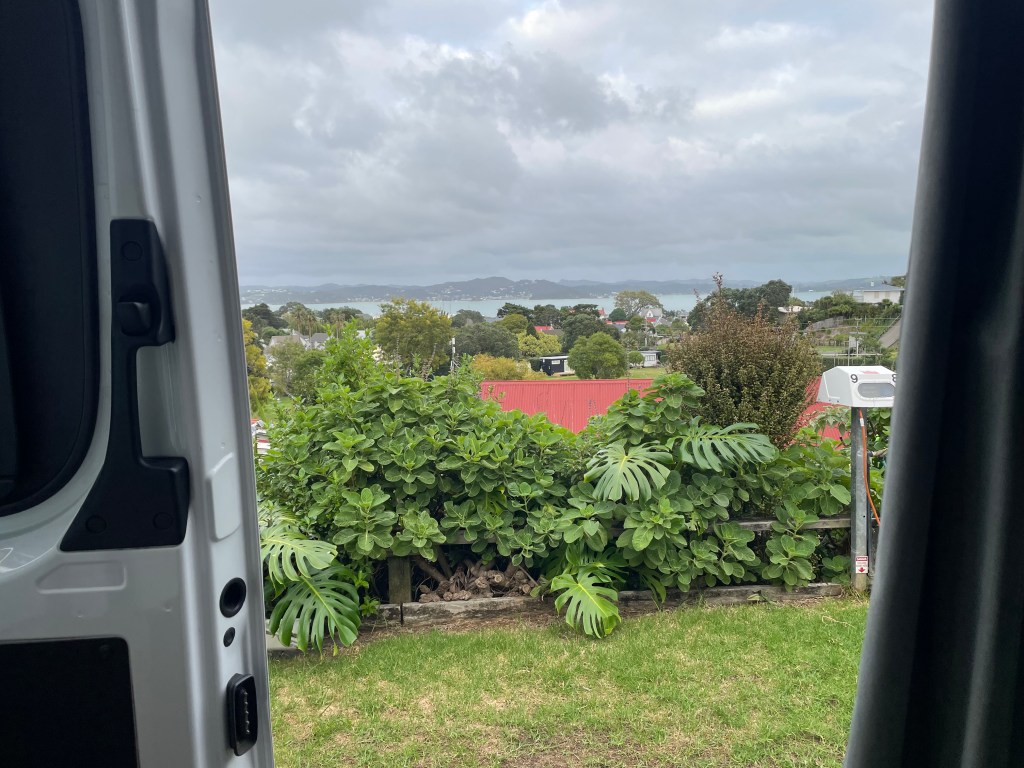
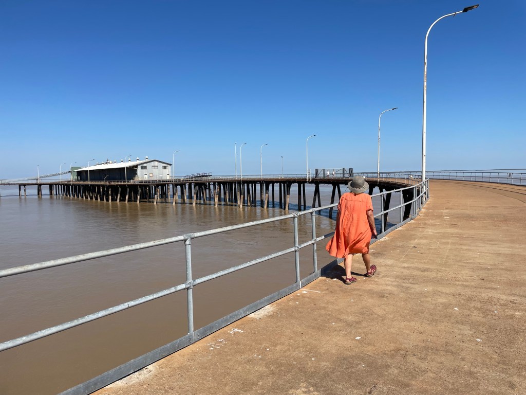
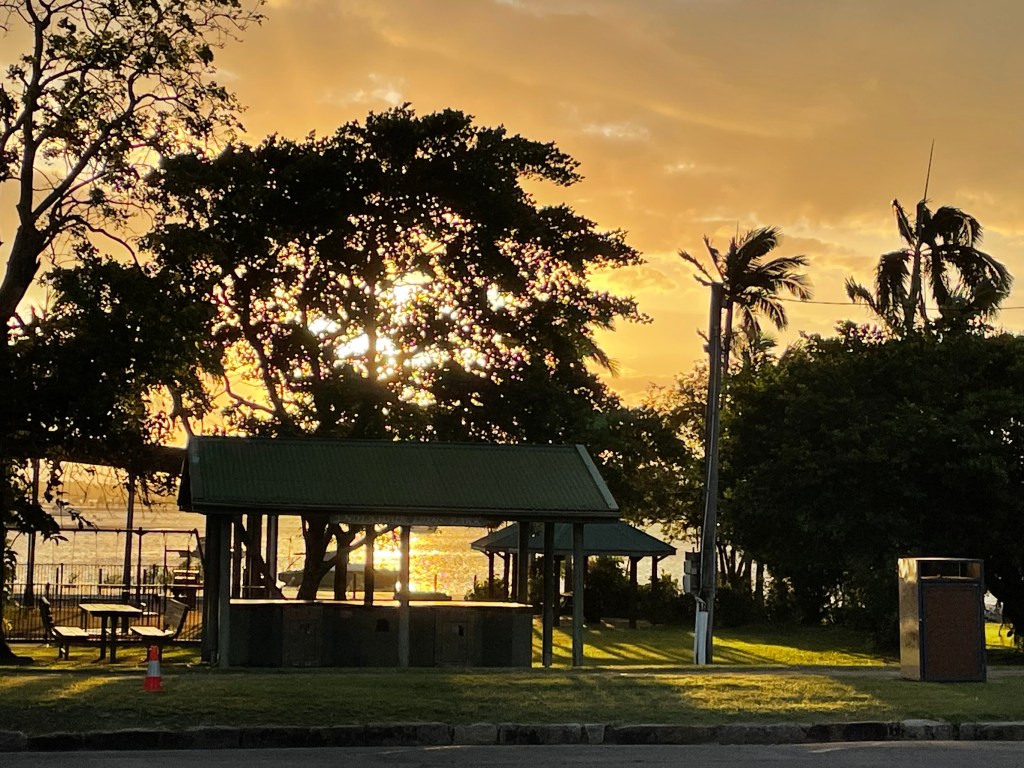
    After the gardens we pushed on around the outskirts of Auckland, which was a reasonably easy navigational feat. We went off the highway to Orewa for the night. Lovely town, obviously a resort/holiday destination for New Zealanders, right on the sea.

    Whangarei Harbour

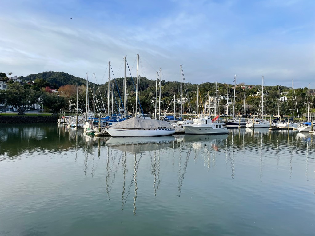
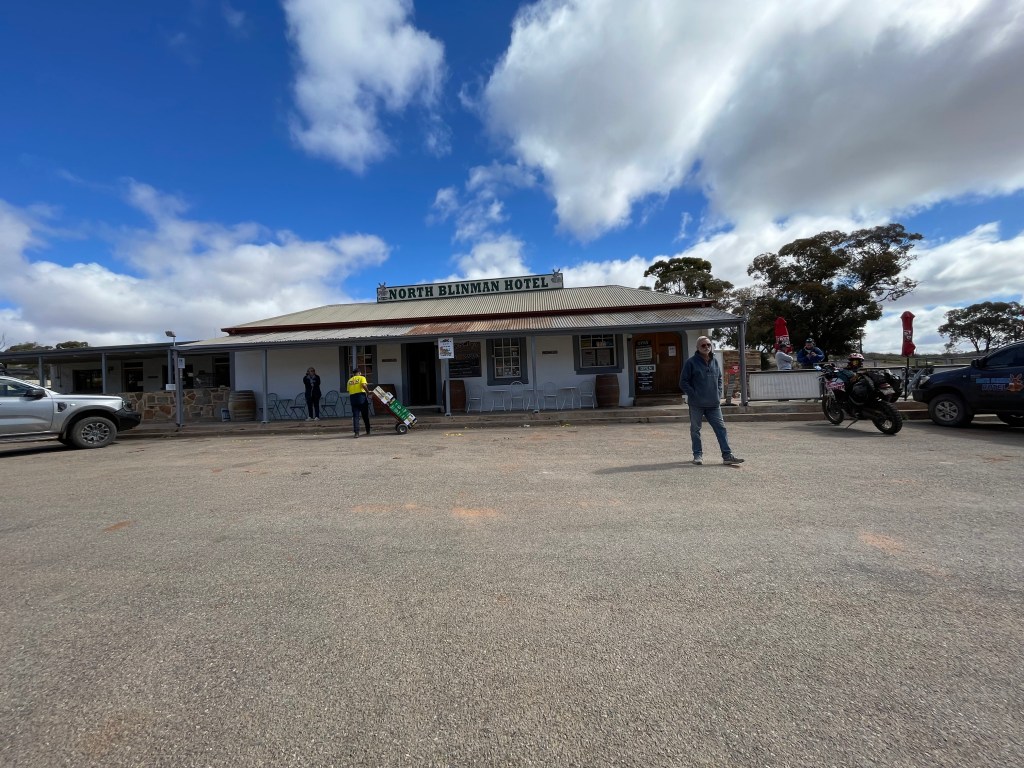
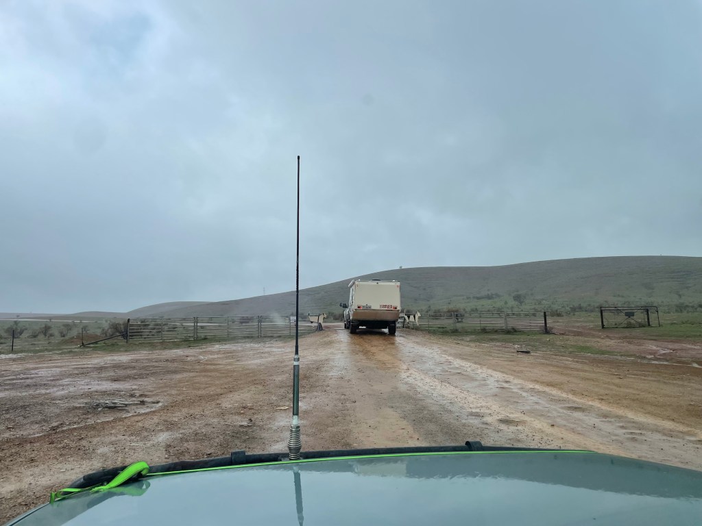
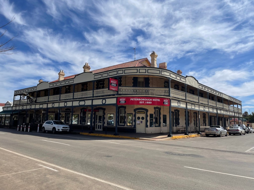
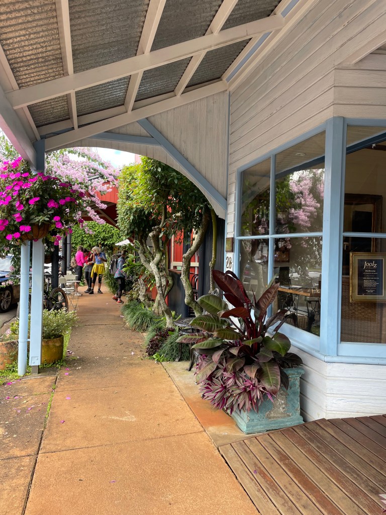
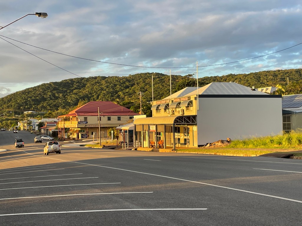
    Whangarei was our next stop. We had fun times trying to pronounce the name as the locals do. Wh becomes F and the g is silent, so it sounds like Fanerei. Anyway, there was a lovely little harbour here and cafes, pubs and galleries, but we’d arrived a bit late in the afternoon to enjoy the local buzz. It was still raining at times and cool, we were grateful for the heater in the van.

    Sandy Bay surf school, coffee stop.
    View from Russell camp site….worth $100?

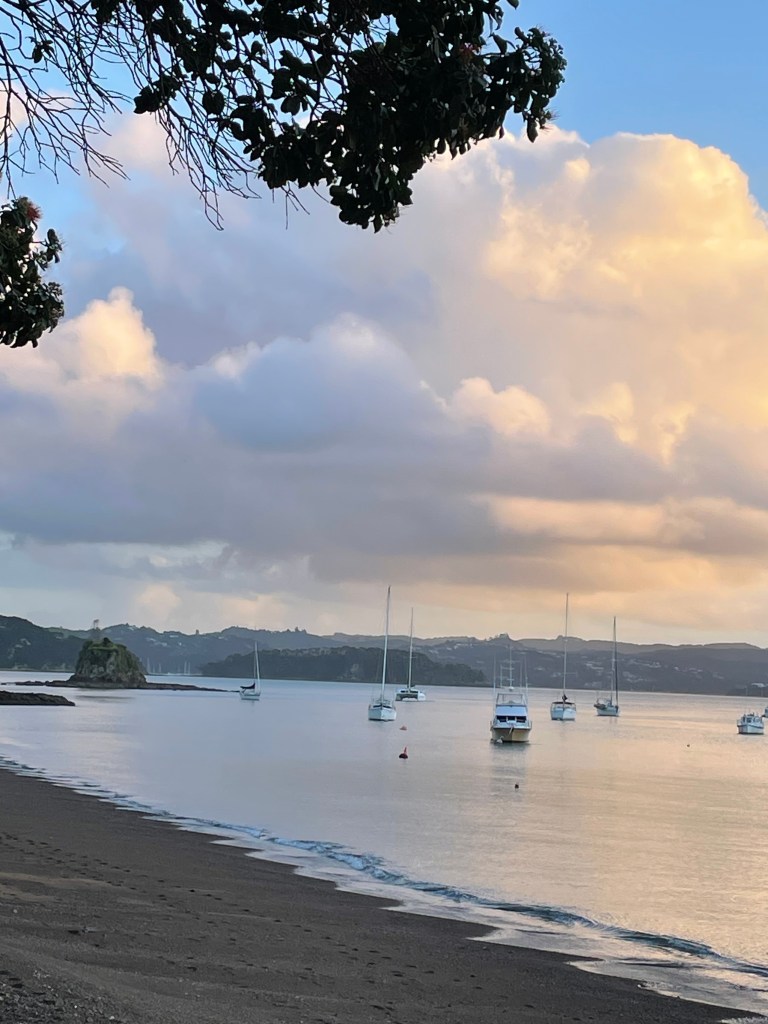
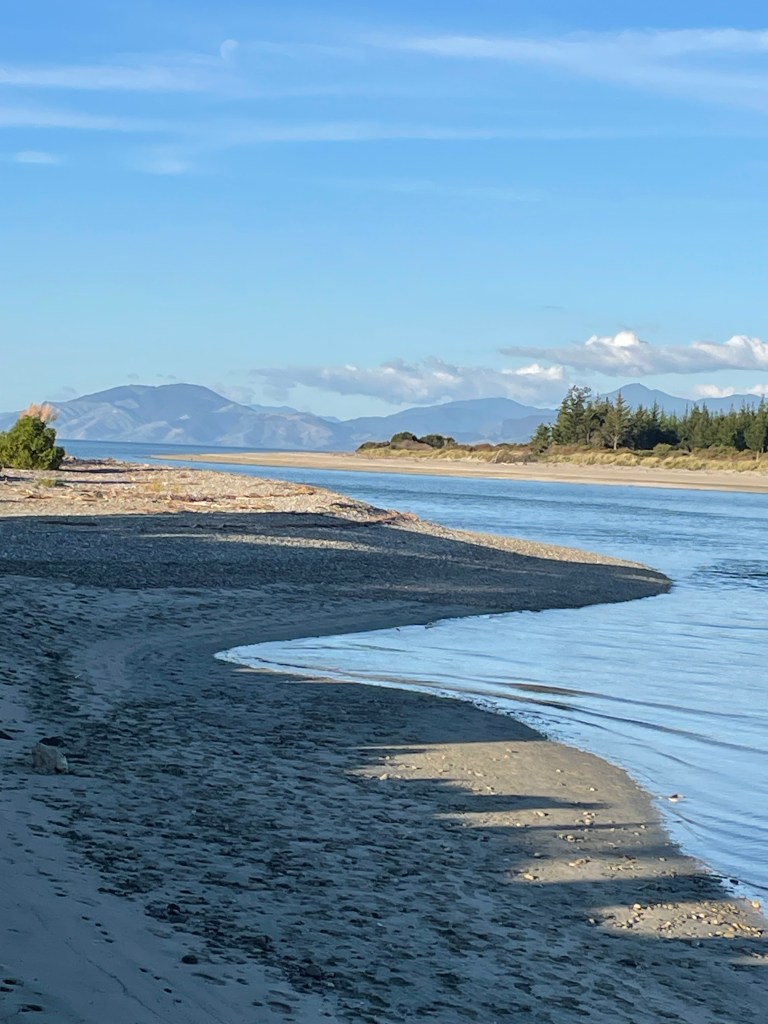
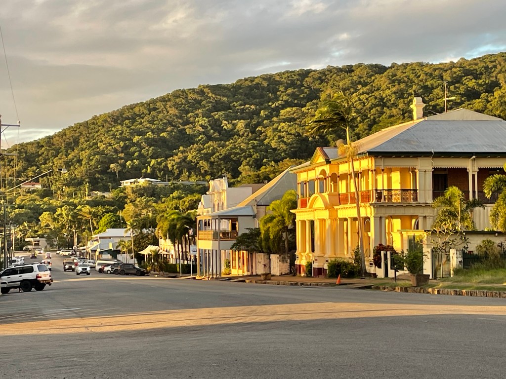
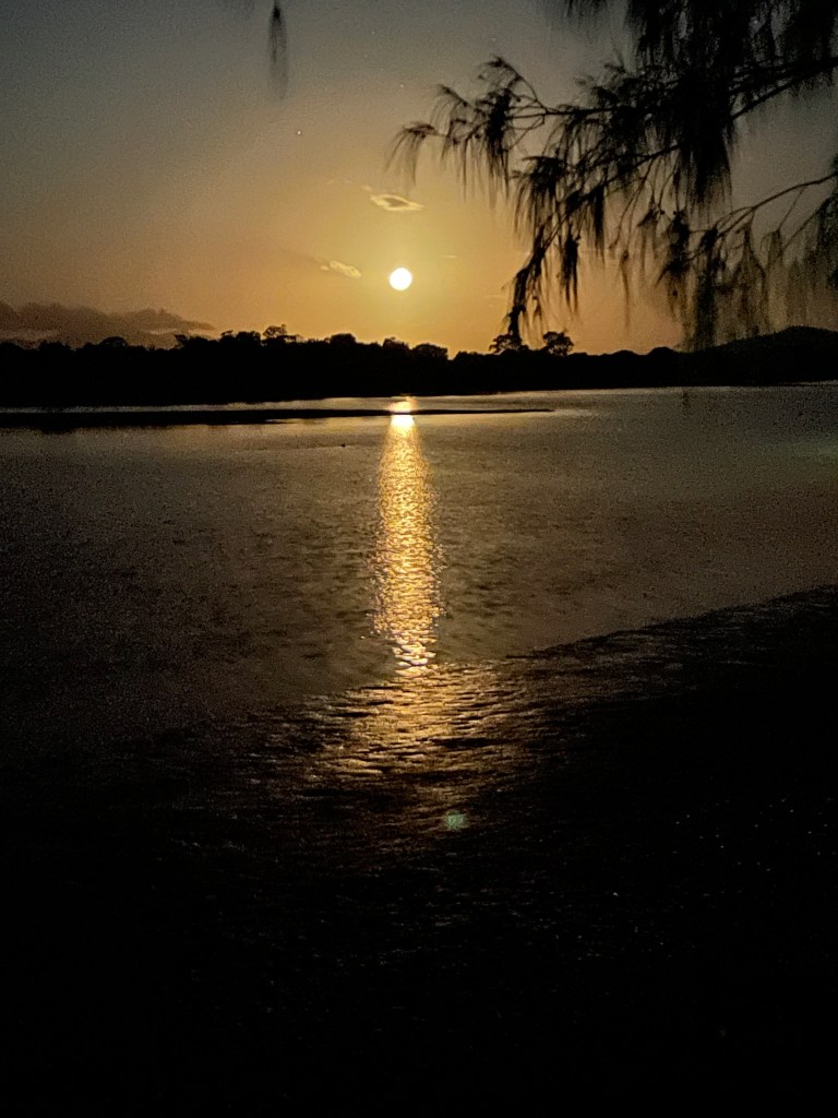
    We headed off Highway 1 towards Russell, which a number of people had suggested we visit. We climbed up and over steep hills, but it was worth it to reach the small sandy beaches, like Matapouri and Oakura where not many vans like ours would travel. We caught the car ferry across to Russell where we had the most expensive campground experience ever. $100 for the night. No wonder we were the only ones there! We should have stayed at Paihia and done a day trip over on the passenger ferry. Anyway, Russell was delightful although the sunset got lost behind the thick clouds. Dinner and wine on the bank of the beach was very welcome, expensive too!

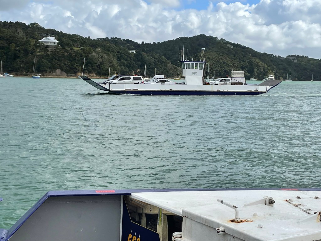
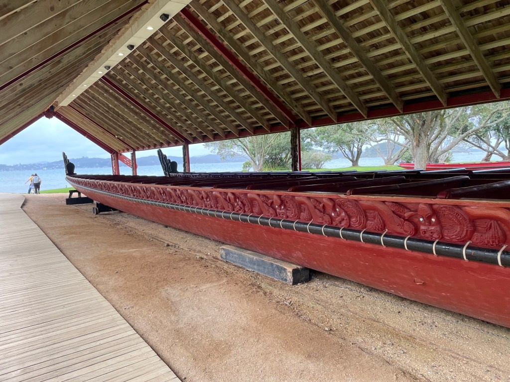
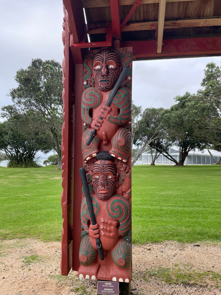
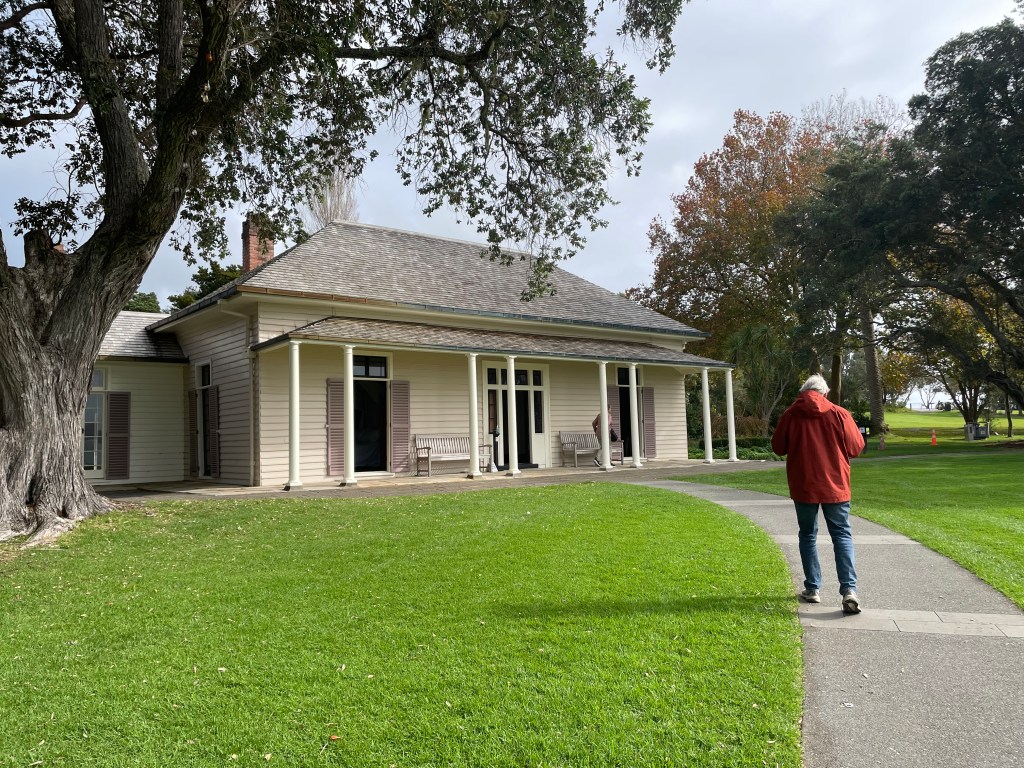
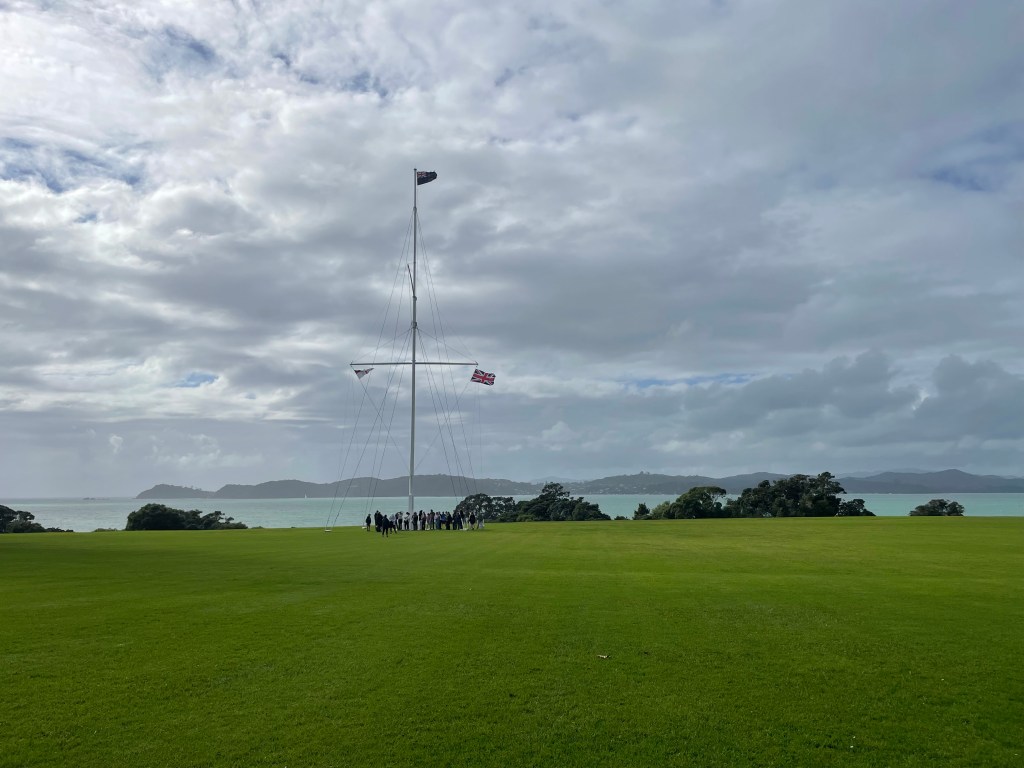
    We travelled to Opua to ferry back across to the other side of the bay. Today we went to Waitangi to learn some history of the signing of the Waitangi Treaty between 500 Maori chiefs and the British Crown, in 1840. The museum was very well resourced, even had sheets of signed documents of the Treaty. The fascinating thing is, one document was written in Maori language, the other a translation into English, but the translation didn’t match the original in some key facts about rights to lands and governance, which caused huge disruption in NZ over many decades. It has to be applauded that a Treaty was written in the first place, unlike in Australia where we still struggle to get a similar document accepted in our government.

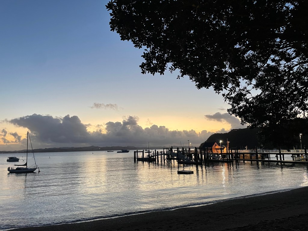
    We ended up at Paihia in a tiny campsite. The park owner was lovely there. When she heard we’d decided not to drive to the top of the island, she was horrified. So we were booked onto a tour bus for the next day.

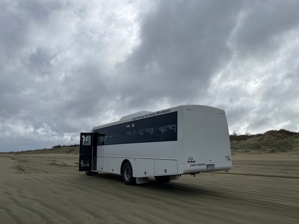
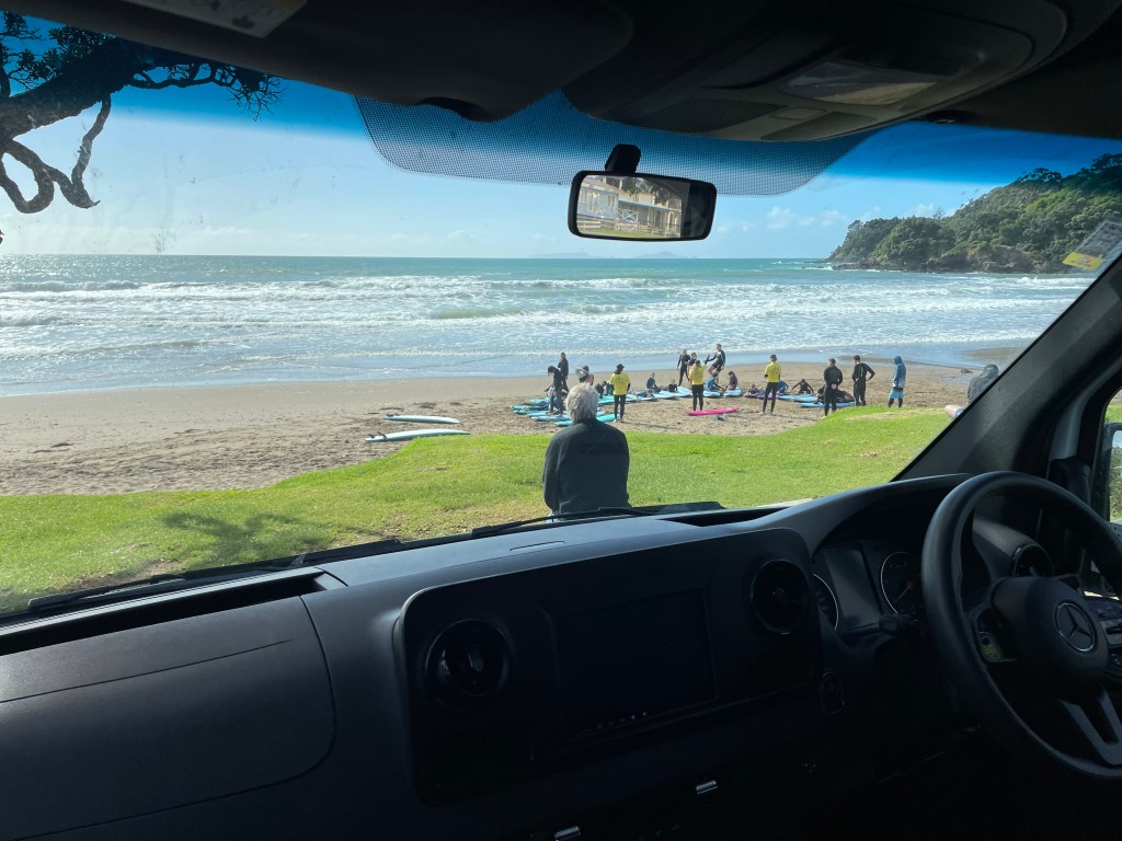
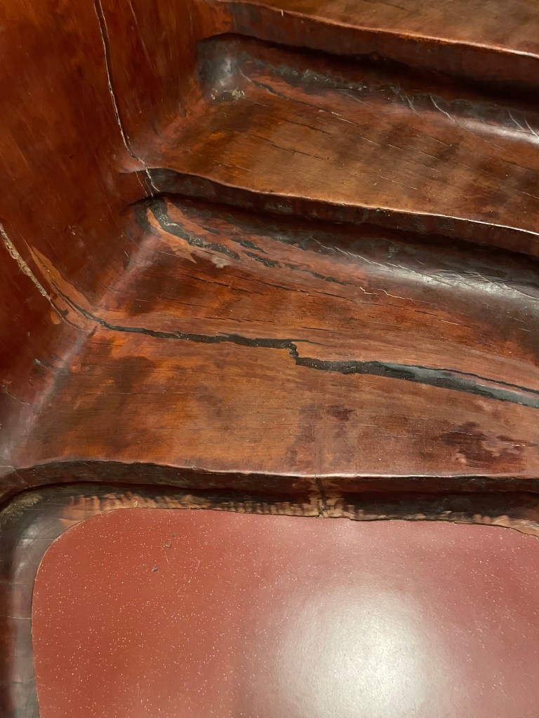
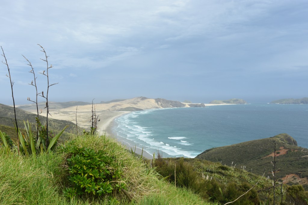
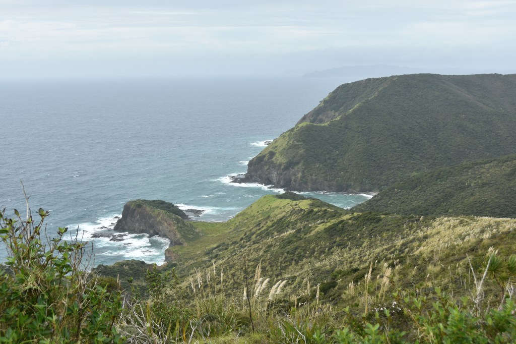
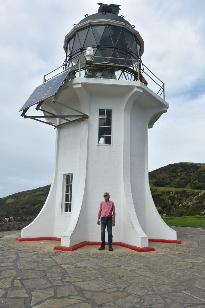
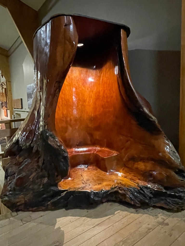
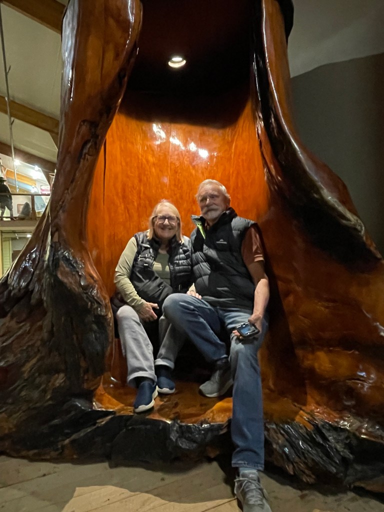
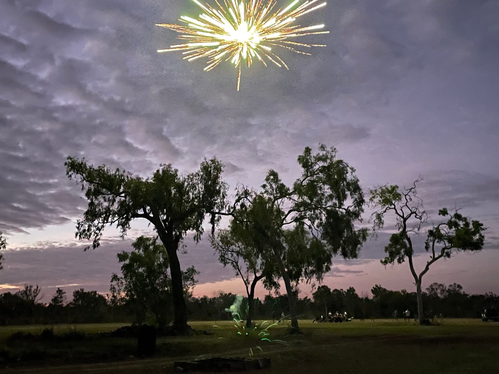
    It was great fun, but a long day. The driver definitely had his batteries charged, he didn’t stop talking or singing all day. He mentioned he’d been in the circus at one point in his life. He was a real performer. We travelled in a big bus up to a lovely gallery, Ka Uri Unearthed, for morning tea and a perusal of the wonderful gallery with exceptional woodwork. Here was the Kauri stairs, inside a tree stump that was sourced from the swamps after being buried for 40,000 years. We changed buses to a 4WD one which took us along the 90 mile beach. Here you had the option to sandboard down the dunes, not us!, and to hand dig for the abundant pipies. We cracked them open and ate the delicious raw seafood there and then. We continued by road on to Cape Reigna, the “place where spirits depart their long journey back to the homeland.” Here at the lighthouse, the Tasman Sea and the Pacific collide. Our guide continued to talk all the way home, trying to get us to sing karaoke, but it was a long day and most of us were over 60 so a nap was preferred to singing.

    The bus driver, me with his hat.

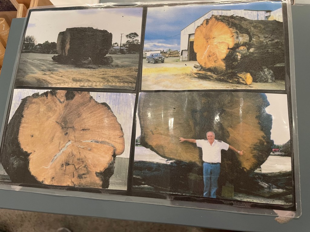
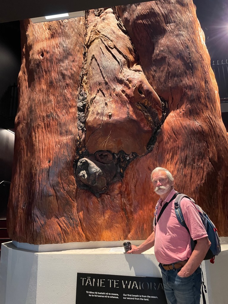
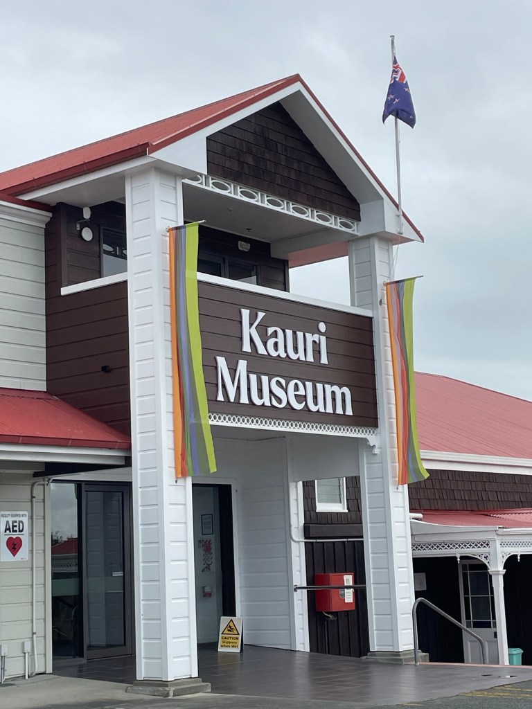
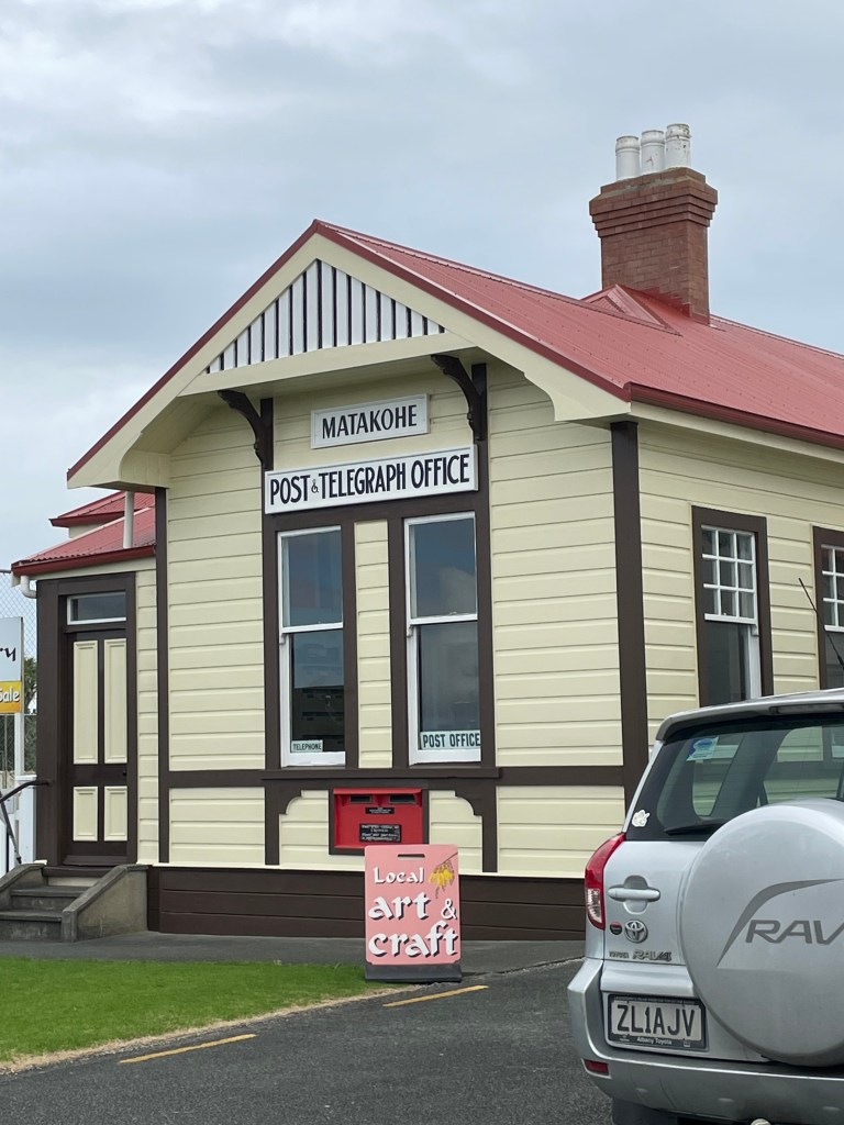
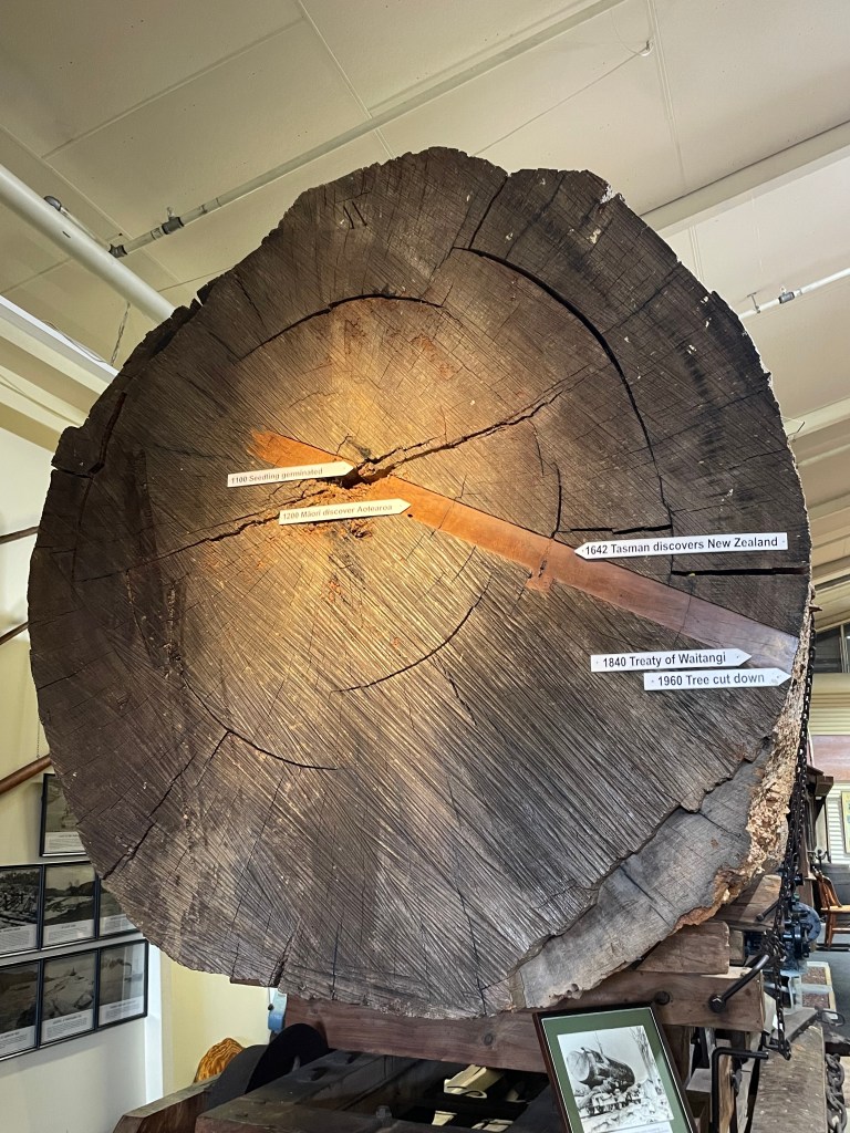
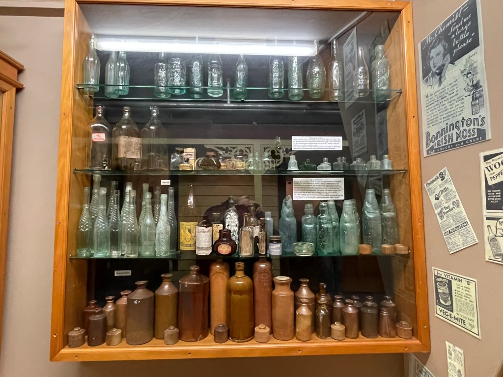
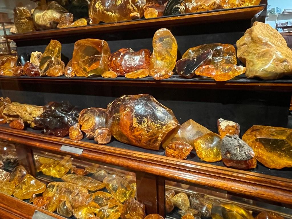
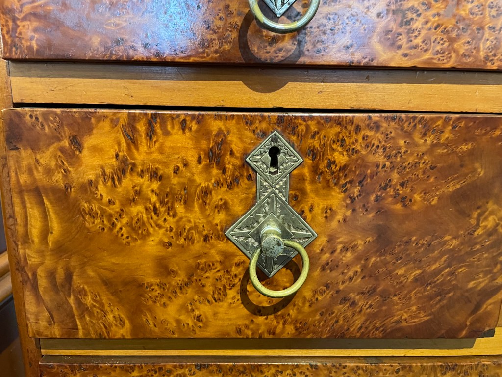
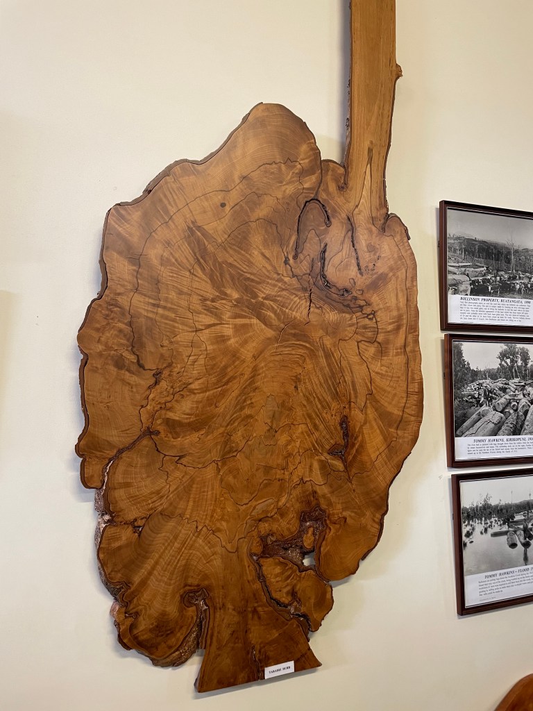
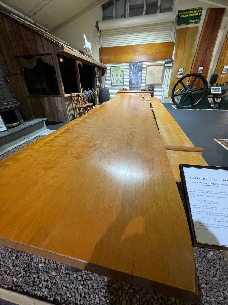
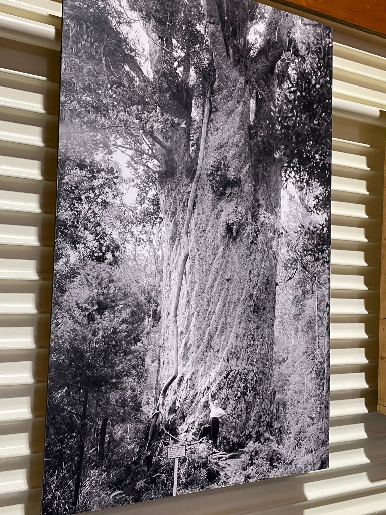
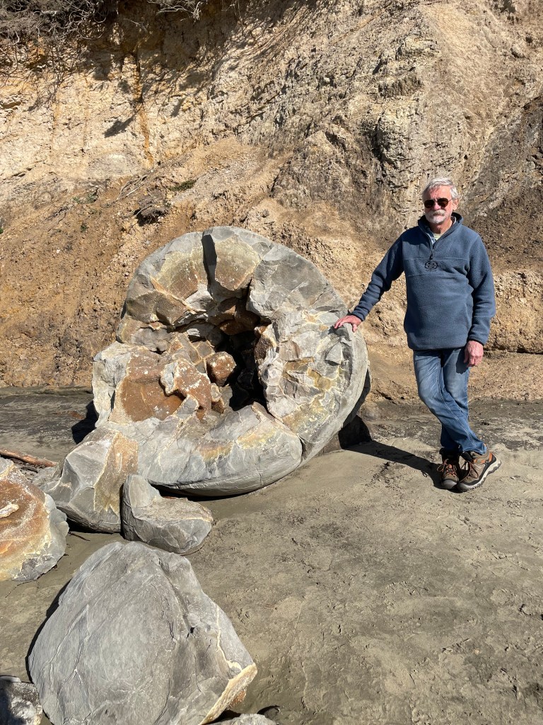
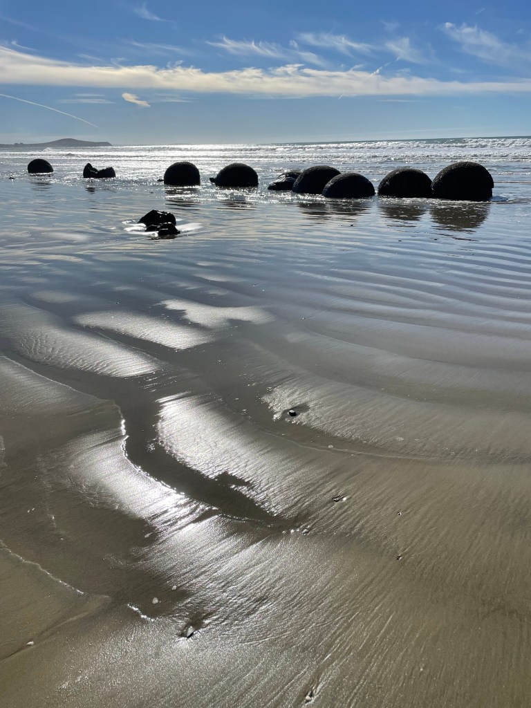
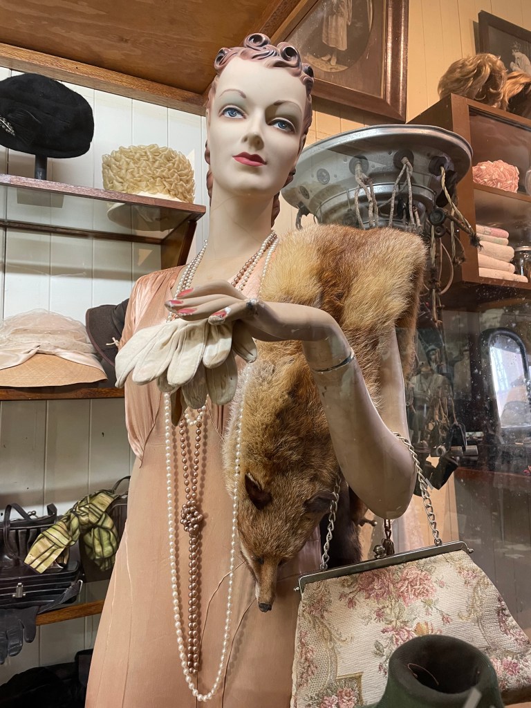
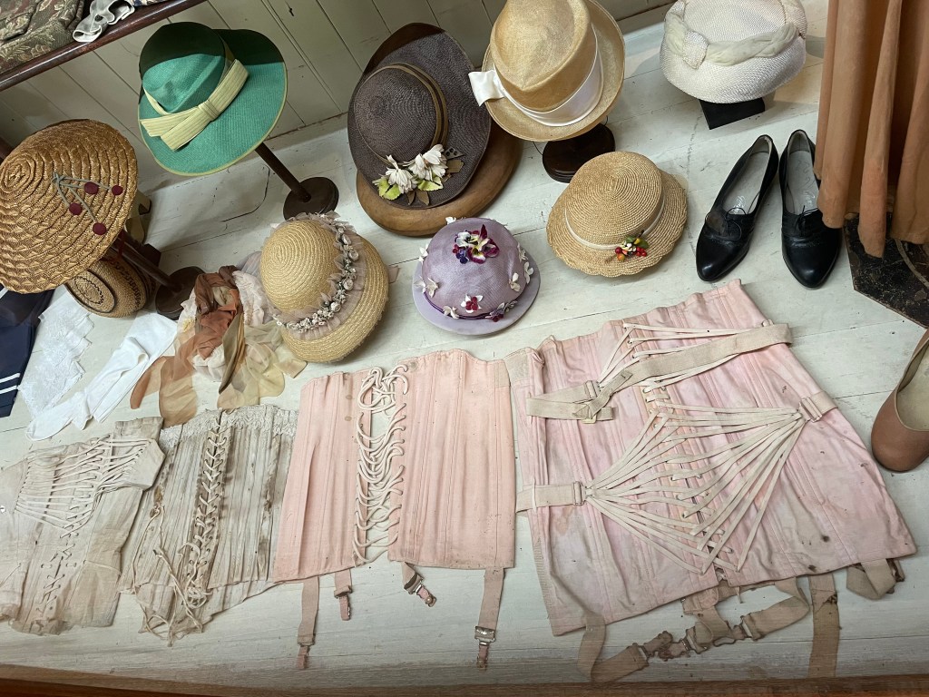
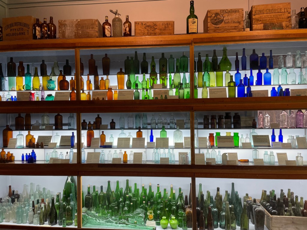
    It was time to head south. We’d heard about a Kauri museum on the west coast so headed there via Dargaville. The Matakohe museum was brilliant and I’d recommend to anyone. It took us about 3 hours in there before we both decided it was lunch time. The history was vast, in displays of timbers, photos, installations, and so much more. It made me sad to know most of the old growth Kauri had gone. At least the trees still standing would be protected. After a quick lunch we kept going south.

    NZ is such a compact country. We knew we had to return the van the next day to Auckland, so we stayed in a tiny surfing town called Muriwai Beach. It was the usual cold and wet, sloppy grass, slippery. And in the morning windy and misty, so I felt we were book-ending our NZ trip with challenging weather.

    We handed back the van and Ubered into Auckland. Nice to have a spacious room to properly pack our bags for the homeward flight. We opted not to do the tourist things here, instead just walked and walked – went to the Gallery for lunch and a lovely Italian restaurant for dinner.

    Our travels are over but our desire to return to NZ one day will always be there.

    Sitting in a massive Kauri tree.

    I realise your comments are not getting to me. Try the form below which could and should work.

    Cheers

    Jen & Nick

    Leave a comment

    This site uses Akismet to reduce spam. Learn how your comment data is processed.

  • New Zealand 3

    Dunedin, Temuka, Devauchelle, Kaikoura, Nelson.

    I am travelling faster than I can write, or for that matter, remember. I’ve had to list the towns we’ve stayed at in sequence to help me write this blog.

    Artist: Robin White. Harbour Cone 1972 Dunedin Public Art Gallery. Artist’s impression of landscape while she lived in Portobello, Otago Bay. This captured me when I saw it in the gallery.

    Dunedin. 

    It was still bitterly cold and at times wet. We camped at a place called St Kilda beach. The campground was just behind the high sandy banks of the ocean beach but well protected. The kids were back at school, so it was pretty quiet. We headed to the Royal Albatross Centre at the end of the Pukekura-Taiaroa Head on the south side of the Otago Peninsula. I LOVE albatross, ever since school I’ve always wanted to see them in their own habitat. I have been lucky enough to see them twice already, but each time is like a new magic experience. This NZ location is the only mainland colony in the world where the Royal Albatross breed successfully. This is due to the tireless work of a few individuals over more than 50 years, who have tagged them, measured them, observed them, and ensured their survival from predators including humans. I take my hat off to them. The birds in flight above us were amazing. I would volunteer here if I lived in Dunedin. And I’d get a longer lens for my camera! The drive along the shore of Otago Harbour, past a quaint town called Portobello, was very picturesque especially because the weather was calm, the sea glassy smooth.

    The next day we caught the local bus into Dunedin central. It was still freezing, the beanie and scarf were on as well as gloves! By the way, in the 1840’s the Scottish settlers called the town New Edinburgh, but the name was changed to Dunedin, which means Edinburgh in old Celtic language.

    From the bus stop in central Dunedin, we aimed for a warm cafe for coffee. Dunedin’s Public Art Gallery seemed the best choice. The artworks didn’t grab us, except one (see the picture above), but the coffee and cakes certainly did. We walked around the Octagon, or city centre, then headed for the historic train station. It was opened in 1906, nicknamed “the gingerbread house” for its distinctive Flemish renaissance design. 

    Chinese Scholars Garden.

    We wandered around an authentic Chinese Scholars Garden. Dunedin and Shanghai are sister cities. The entire garden was built in Shanghai and assembled in Dunedin. All the rocks, plants, trees and timbers were specially chosen in China. There is a long history of Chinese settlement in Dunedin mainly due to gold mining, however many families remained, with some becoming esteemed in the New Zealand community.

    View from north side of Otago Harbour.

    There are plenty of other things to see and do in Dunedin but we needed to move on, there is always a next time…when I come to see the Albatross again. We travelled along the north shore of Otago Harbour to Port Chalmers and then wound our way up over the steep hills back to Highway 1.

    Turtle shell?? Looks like it.

    Going north, we came across the Moeraki Boulders. These unique circular stones on the foreshore are from the age of the dinosaurs. There are 50 complete boulders, the largest weighing up to 7 tonnes and took 4 million years to form. I have to rely on the information brochure  to sprout these facts, but they were quite intriguing. Well worth the stop.

    Gorse. A terrible scourge on the landscape. Prickly, invasive, spreads like wildfire. Why didn’t the Scots bring Heath instead? But gorse is good for bees.

    Heading further north, we were accompanied for hundreds of kilometres by the picturesque snow capped mountains west of us. For Aussies who rarely see snow, they are captivating. We thought we’d stay at Timaru for the night, but it was a big bustling town so we continued on. Found a small campground at Temuka. Quiet, next to a golf course with established trees, good walks, and warm enough at last that we could break out the folding chairs to have a wine in the afternoon sun. 

    Our next destination was the Banks Peninsula, east of Christchurch. We’d been told it was worth going there and it didn’t disappoint. Fine warm weather helped enormously. We went to Akaroa which was quaint, bustling with holiday visitors, it reminded us of Sorrento in Victoria. However they discouraged parking of big vans like ours. So by the time we found a free campsite to park the van, we were a long way from the centre of town. Had we stayed, we would have been in a cramped gravel carpark with no view except of other campers. So we back-tracked to a quiet town called Duvauchelle. The lovely campsite overlooked a bay on Akaroa Harbour. The weather was calm, and warm. It was the Friday before the long weekend Anzac Day holiday, so campers with boats and kids pulled in after dark. We left the next day, but saw a constant stream of cars going to the Peninsula. It must be the holiday spot for Christchurchians. Why not? It’s so beautiful.

    Duvauchelle

    We picked up highway 1 again and headed north with Kaikoura as the chosen destination. Winding roads through forests and along the coast were very scenic. It was like Victoria’s Great Ocean Road, but with no surf, the sea was dead calm. Pine plantations started to be prevalent, insidious. Steep hills either covered in growing pines or denuded to bare earth. What happened to the native forests I wondered? But I did find Manuka.

    Manuka shrub. Tea tree.

    Kaikoura was a bustling town, especially being a holiday weekend. We decided to walk into town for dinner and ended up in a delightful restaurant, called Strawberry Tree. I had a most delicious seafood chowder, a must when you’re in a fishing town. Our campground had spectacular snow clad mountains nearby, we were surprised to see these so far north. But it was cold!

    The scenery north of Christchurch is wonderful. I can see why people rave about the South Island, but I’m sure we’ll find great places in the North. 

    From Kaikoura we travelled to Blenheim and began to see the infamous grape vines this Marlborough district is renowned for. Acres and acres of vines, all neatly trimmed at exactly the same height, flushed with yellow autumn leaves, mostly without grapes. Unlike the Yarra Valley, Clare Valley or Barossa, cellar doors were hard to find. We had agreed to visit at least one for a tasting but it took our second day in the region before we found one. Anzac Day holiday on the Monday didn’t help.

    From Blenheim to Nelson the road wound up and over steep hills and valleys for about 50km. Quite a challenge for our van and its driver. Once again I was staggered at the encroachment of pine plantations on the native bush landscape. Not only were the pines growing on the steepest of hillsides, they had also been harvested there too, leaving sad denuded scarred earth littered with the remaining detritus scraped up into piles. Along all the beach foreshores, piles of sticks and branches  in tidal lines had washed up in the storms. The theme of pines overtaking native bush rung over much of the mountains of the north of the south island. I suppose you’ve guessed I’m angry about this wanton destruction. (angry face).

    Anyway, we stayed in Nelson for a night, the town was “dead” being a Saturday afternoon  of a long weekend. We cooked on the van’s bbq for the first time, the evening was warm enough to be outdoors! 

    On the Sunday, equally the town was really quiet, but we did find the aforementioned cellar door for a tasting of Heaphy wine. Their Rose was worth buying a few bottles. We drove up the coast north of Nelson and found a delightful spot for lunch called Ruby Bay. I do like how we can pull into a carpark, open the “whizz-banger” door and make our lunch on the spot. We boiled the kettle for tea and sat on some driftwood with locals, enjoying the peace by the sea. 

    I found a campground north of Nelson at Mapua which was promoted as a Leisure Camp. I was expecting kids play ground equipment, bouncy castles, a ferris wheel….turns out it was a clothes optional camp in Feb and March. The receptionist pointed out the demarkation lines where we could go naked – not us, especially as it was April! The camp was actually really lovely, with a tidal river beside us and a view of the misty sunrise that was wonderful.

    E Type Jaguar. Was my favourite car…..

    Before leaving Nelson, we visited the Car Museum. What a treat! This one had award winning background displays associated with the cars. Some of the pictures may show what I mean. I’d recommend this one to anyone, and there wasn’t a Land Rover in sight.

    My sized car.

    We had booked the ferry to the North island on April 30th and had 2 nights to travel the short distance to Picton. Decided to go to Havelock. What an inspired move. Havelock is the green shell mussel capital, it’s a bustling little harbour town on the Marlborough Sounds.

    A couple of Dutch people parked next to us, we got talking and they mentioned the mail boat cruise that was happening the next day, by chance. I quickly booked it. It was the best cruise, such a wonderful day.

    Pelorus Mail boat

    Pelorus Sound is just one arm of the Sounds. Up to 2000 houses are dotted in remote locations around the Sounds, and each Wednesday the mail boat delivers mail, groceries and more to people waiting on little jetties or their beach. The highlight was a tour of a working farm where the man was fifth generation on that farm. They had raised 2 children there and have only had electricity for one year, there are no roads in. They raise Romney sheep and a few cattle. Nick and I had a long chat to the farmer, he was a man of few words, but everything he said came from a deep wisdom and experience of surviving in this remote place. We talked about the scourge of Aussie possums, but also other wild pests including pigs, stoats, cats, rabbits and more. He was furious about the proliferation of pine forests and has poisoned many trees on his property. His wife’s presentation to the group was down to earth, she was a woman who’d lived on the farm for over 20 years while home schooling, feeding the hungry shearers and surviving a subsistence way of life. The other startling fact, this was the last farm talk for the season. How lucky were we! Right place, right time again.

    Wilson Bay Farm 1881

    Before I end this quite long blog, Nick has a few words about our camper. Next blog will be about the North Island, where we are now.

    Nick:

    The Mercedes Benz camper is big as opposed to what we are used to driving, it is 7.2 metres long, 2.8m tall and the back end of it cuts off the corners if one is not careful. It is easy to drive as all one has to do is accelerate and brake, it has a gear stick on the column, up for reverse and down for drive. It took me about a week to discover that it has paddles just like a formula 1 car hidden behind the steering wheel, now I am able to downshift on steep slopes and use engine revs instead of braking all the time. It is clever too as it will not start if the power cord is plugged in, it does all of the usual things ie not start or go into reverse if the foot is not on the brake. It has been doing 9.6 litres to the 100km which is pretty good considering the Land Rover Discovery does that without anything in it or towing.

    Interior design leaves a little to be desired as the kitchen area definitely only has room for one, the shower and toilet are microscopic and the water pump pulsates so you cannot get properly wet in the shower. There is a distinct lack of 240v power points and the ones that are provided are too far away from the needed location. To add to the grievances the cords on the kettle and the toaster when plugged in to the aforementioned 240v sockets only just reach the table and have to sit dangerously near the edge.

    To counter all the complaints we are being treated to a magnificent country with stupendously spectacular scenery as will be apparent from the photographs.

    Love

    Jen & Nick

    Pelorus Sound

  • New Zealand. April 12th to May 12th, 2026

    A camping holiday with a difference.

    Posted April 22nd 2026

    This is a new concept for us, having a “camping” holiday without Swifty. It feels easy in some ways, not having to pack Swifty with all our food, bedding, clothes, camping gear, and doing car maintenance jobs, all that is done for us this time. Being self contained in a camper van with a loo and shower is novel for us too. I always said if I found myself dragging a container of our effluent through a campground, that then my camping days were over. So to remain true to myself, I’ll get Nick to do it.

    We departed from Gold Coast airport on Air New Zealand bound for Christchurch. On a world level there is a war in the Middle East, initiated by Trump and Netanyahu, with the aim to create regime change in Iran and free the desperate people of Iran from a repressive government. After 6 weeks it looks like a fizzer. The upshot is, there’s a fuel supply crisis because the Iranians have chosen to close the waterway where oil tankers would normally freely travel to supply the world with petroleum products. Flights could be impacted, prices could sky rocket, International travel could be out of the question for us normal people. But we’ve snuck in ahead of any disruptions. Phew. Years ago we booked a holiday to NZ then Covid 19 hit, holiday cancelled!!

    On top of a “fuel crisis” we were heading off to NZ which was facing a cyclone in the North island. We were going to the South. Flights were still departing to that cyclonic region so I thought it couldn’t be too bad.

    Arriving at Christchurch mid afternoon we settled into our 3 star accommodation, not very classy but great location. A low hanging mist shrouded the suburbs, by 5.00pm it was dark, it looked like the UK but it was warmish. We walked and walked, stretched our legs as we debated what sort of meal we’d have, as there were many choices along Riccarton road. Settled for a pub meal of roast pork. 

    Next morning the mist had cleared but clouds hung about all day. We set off walking into town, through Hagely Park, kicking up piles of autumn leaves and marvelling at the enormous Plane trees and Oaks that lined the path. We were both lost in childhood memories of true autumns past, with coloured leaves and chilly faces. 

    My first impression of Christchurch was a city of contrasts, old vs new. Some old bluestone buildings were covered in scaffold, new buildings supported massive cranes overhead, vacant gravel parking lots were dotted between stunning new glass architectural marvels. And then we came to Christchurch Cathedral, once a dominant presence in the heart of the city, now a fenced in ruin. No workers noisily worked on the site, the city had run out of funds to complete the restoration. However the Anglican church has promised funds now to restore the front nave, which can seat 100 people.

    After the 2011 earthquake Christchurch was said to be the biggest reconstruction site in the world, until Notre Dame caught fire and took the lead. 

    We boarded the city circle tram seeking a good coffee stop. We weren’t disappointed, stop 18 was New Regent Street, a very quaint street with colourful 2 storey houses and shops where the tram drives down the middle of the road. Suitably buzzing after our coffees and muffin, we walked back to the town centre, and rode another tram through the shopping precinct. Great to hear the commentary from people who’d been witness to the 2011 earthquake. They pointed out which places had survived from the 90% destruction of the city. We decided to visit the Quake Museum. I felt it would be triggering for a local but maybe after 15 years they’re ok. The videos, interviews, photos, remnants of structures, all combined as a lasting memory of just how severe the quake was and how resilient the people have been to rebuild their city. Glad we chose to go there.

    To finish the day we walked back through the Botanic Gardens, adjoining Hadley Park. I loved all the significant trees, especially the towering Sequoias from California, the Ginkgos from Japan, as well as the Oaks, Cedars, Redwoods, Pines, Elms and even a Wollemi Pine. Many were planted as Commemorative trees by notorieties like Dalai Lama, and the late Queen Elizabeth. It’s so energising to stand by a towering tree and look up into the branches and feel tiny…. surrounded by the giants of Nature. There’s very little built by humans that exude such a powerful presence, that make me want to stay in it’s aura for a long time. 

    Big day today, pick up our camper van. Time to experience camping like we’d never done before. 

    After the prolonged briefing, going bit by bit through the van with a lovely German backpacker, we finally set off towards Arthur’s Pass. Below the Pass we stopped for the night in a park, to power up our battery, and learn how to make the bed, switch things on and off, all pretty straight forward actually! The cold night taught us to close the vent over the bed and add an extra blanket.

    Castle Rocks

    With snow capped mountains already visible, we headed for Arthur’s Pass. I think we were both expecting somewhere like Charlotte’s Pass in the Aussie Alps, a narrow pass with snow all about us. But no, it was a small non-descript town with a railway station. Over the western side of the Pass was a narrow steep winding road with a huge gorge of violently rushing aqua glacial water. We took a shortcut turn off to Greymouth, our destination for the night. 

    Nick writes: 

    “Greymouth is situated in the Grey District which is much the same as the naming of the Northern Rivers or a prefecture in Japan. Named after the then Governor Sir Somebody Grey who also had the Grey river named after himself, later the town Greymouth was named after him with much fanfare. It is a very apt name as the hills that surround the place are grey, the river is grey and you guessed it the weather is grey as well. There is an information board in town that states that ‘A week without rain in Greymouth is very unusual’. As soon as we got there it started to rain and it continued all night with gusto.”

    The only photo I took in Greymouth. Says it all!

    We parked in a free camping spot on a spur of the headland, close to the sea. Overnight, I estimate 30 more vans joined us. We parked as far from the sea as possible. After the battering we got in Swifty at Crescent Head in 2025, we will never trust a coastal campsite again, we made the right choice this night. The wind howled, rocking our van, the rain was torrential. I was not envious of the row of vans facing the sea. 

    There’s local folklore about the wind:

    “The “Greymouth Barber” is a famous, cold katabatic wind that blows down the Grey River valley in New Zealand. Occurring at night, this gravity-driven wind brings dense, cold air from the mountains down the valley, often creating a, “long white cloud” or fog known to feel as sharp as a razor, or “cutting your hair”. We had a short back and sides….and a shave!

    The morning after was surprisingly calm, as often happens after a storm bash. We quickly ate our brekky as we knew the west coast of the South Island was due to have more rain and wind. In fact the weather forecasts were not good, so we headed down to Wanaka, with only brief pauses at Franz Joseph and Fox Glaciers.

    This should do for this first NZ blog. My thoughts so far….we are doing really well in the cold….giving thanks daily that we are not in Swifty. As a first taste of a country many Aussies have visited often, we are skimming the country, but whetting our appetites for another trip…..in summer!!!!

    Jen & Nick xx

  • Surviving in the Flinders Ranges.

    The end for Swifty……

    September 11th 2025

    Still at Arkaroola , we set out on the third day for the Echo Camp Backtrack self drive. You pay the fee to get the track notes and the key to the locked gate along the way. It’s a 4 hour round trip.

    This was a 4WD adventure that had some quite difficult terrain, however we were rewarded with some stunning scenery and a great oversight of the history of Arkaroola station. All the waterholes were dry despite high rainfall during winter around this inland northern corner of SA. Generally the area was dry and dusty with a sprinkling of green showing through from more recent rains. The massive River Red gums dominate the valleys and watercourses while the remainder of the landscape has the hardy dry country shrubs like Mulga, Black Cypress, Bullock trees and Acacias. There were a few kangaroos and emus, not many birds.

    Lunch stop Barraranna Gorge.

    We found a great spot for lunch where we duly broke out the table cloth, zero beers and snacks, thoroughly enjoying the peace beside the towering red ochre cliffs.

    Echo Camp Backtrack

    The pictures will tell you how stunning the landscape was, although photos don’t really do it justice.

    It had been a big day, much bouncing over rocky roads, inhaling dust. Andrew & Marilyn went to see the Yellow Footed Rock Wallabys being fed, with Doug Sprigg, the son of the original settlers at Arkaroola, sharing his story about living there, which was most entertaining. 

    Look what Nick found……..

    We had made the best of Arkaroola. It was time to move on. We knew a severe cold weather blast was expected across southern Australia. The predictions were horrible. We rendezvoused with Neil and Erica in Blinman, then settled for the night at Alpana Station. Neil had nicely placed the Penguin beside an ensuite between 2 buildings…our site was out in the open paddock with a couple of small gums surrounding us. The wind was strong, it was already very cold. We were preparing for a repeat of the night at Arkaroola. Fortunately, it wasn’t toooo windy or wet. We enjoyed a lovely fire in the camp kitchen and survived another night.

    A fraction of the 360 degree view from the hilltop at Alpana Station

    The next day we all headed off to Willow Springs Station. After coffee and cakes, huddled in the warmth of Blinman’s cafe, we set off. This morning was very cold, almost Arctic! The sky ahead was black, the rain constant and the cold wind buffeted the car. We wouldn’t have been surprised to see snow. Driving into Willow Springs over red muddy roads in the rain, morale was low. We checked in with reception, not sure we really wanted to stay. At the camp kitchen we used the wifi and found we could make a booking at Hawker Hotel, about 60 km further south. It was a joyful few moments for everyone when we realised we would be dry for the night, in a room with the toilet nearby, out of the wind, with a heater, with a pub meal onsite. And no red gluey mud to deal with.

    Entrance to Willow Springs

    Erica was a bit sick with the flu. They had done the Flinders Ranges on other trips, so they decided to hightail it back home to Byron. We 4 felt we had come this far, silly not to see the rest of what the Flinders had to offer. So back to Willow Springs Station. It had stopped raining by now and the bitter Antarctic cold had passed. We had a good campsite near the amenities and a great camp kitchen and laundry, so we were happy.

    We took a few hours driving around the spectacular Ranges. We took the Bunyeroo Gorge track and the Brachina Gorge track. The vistas over layered mountains with multicoloured hues, misty distances with dirt roads winding through, were an artist’s dream. I can see why Hans Heysen hung around the gorges painting such beautiful scenes. The red rocky gorges with the massive red gums capture the essence of outback Australia. How can such enormous trees live without water? How can they grow out of rock crevices? We went to Parachilna pub for a beer. I was impressed with the artwork adorning the pub walls. There’s quite a sophistication at this remote pub, it does cater for all sorts of visitors. We drove home along the Moralana Scenic Route.

    View from the Outback Highway.

    Greeness is everywhere, there is a sense that this is rich pastoral country. That’s a false assumption, most of the green plants are weeds. I see all the beautiful reds and oranges of the rocks amongst my photos and get a shock when I see a green picture, and yet that is the norm not the exception.

    Gorgeous red kangaroo.

    The next day was the BIG one. Still at Willow Springs, we take the Skytrek self guided tour over the valleys and mountains of the station. Paying our $75 fee, we get some very comprehensive notes and a key to the locked gate.

    We left at 8.30am. 8 hours later we returned from the 80km circuit. The first third of the day was amazing, many interesting places to see, history to discover, plants to learn about, wildflowers to find. The last third after the locked gate was when the instructions said, “engage 4WD”. We thought we’d done a lot of rough track, but now we were doing probably the hardest track we’ve ever ever done and it was relentless. Long steep upward gradients on a slippery gravelly surface to a high point, with a stunning vista, then long very steep downward slope over the edge before another steep climb reared up in front of us. The track had sharp rocks, boulders, deep holes, slippery slates, never ending. I was expecting to have whiplash by the end. But the scenery around us was breathtaking, the trip was worth it in the end. On the last highest hill on the property, there was a guest book you could sign and leave a comment. Nick read one out to me, it simply said “terrifying”. So enjoy the pictures, they were hard to come by.

    Lunch stop under the giant red gums.

    Next day we moved to Rawnsley Springs Station, instead of Wilpena Pound campground as we’d planned. Excellent move to come here. We had the best campsite, on a high spot looking out at the rocky escarpment of Wilpena Pound. The sunsets were brilliant. Great amenities, a campfire at night, even a takeaway pizza on our second night.

    We did a day trip to Wilpena just a short distance from Rawnsley Springs. The stop at the old homestead was delightful. The wattle and daub house was the best preserved we’ve ever seen and the red gum in the front garden was sooo big, it was magnificent.

    We drove on to Wilpena Pound store, had lunch there and looked about. If you’re not able to do the walks, you can’t actually explore the Pound properly, although there was a shuttle bus we could have taken, which still involved walking at the end….one of us was a little incapacitated. Fortunately we had all been to the lookout at the Pound on another occasion.

    Next came the last part of our trip. The long 1,935km to Lennox Head will be slowly paced to take advantage of this outback region. We started early with a coffee at the very good cafe in Hawker. Between Hawker and Broken Hill is endless open landscape, flushed with green but very few trees.

    Peterborough was quite a bustling town. This is wheat country with a still active train service passing through twice a day. The wide main street has grand architecture with 4 pubs and numerous smaller shops and houses dating back to the late 1800’s. After lunch here, we continued to Broken Hill, where we found a delightful “resort” at Mt Gipps. Here there was a large restaurant which could cater for events, but it also serves dinner and lunch every day. We were tucked up in the unpowered sites on a flat grassy bank. The shower facilities were second to none, although a bit of a hike to get to. The night was warm and calm.

    We spent a relaxed day in Broken Hill, a place that holds memories from a previous trip when we were stuck there with a hole in the petrol tank that needed repairing. This time we re-visited a favourite cafe, Silly Goat, the Regional Art Gallery which is fabulous, and the Memorial to the miners of BHP. Lunch at the retro cafe, Bells, plus a visit to a smaller gallery, and we’d done Broken Hill as best we could in one day.

    Next day, the plan was to get to Nyngan for the night. This is a 580km trip on mostly dead straight roads with not much to see except millions of goats, denuding the landscape…. such a pity to witness this. Many roadkill kangaroos, all in all, a sad scene.

    Flat open country with green grass, after Broken Hill.

    Wilcana park was a fair place to stop for a break. The Darling River was high and flowing unlike last time when we passed through here and it was dry. We pressed on to Cobar for lunch in a cafe we knew from a previous visit. Stocked up with food and drinks for the night, I took over driving for the last 130kms.

    5 kms from Nyngan, I over-corrected when I was heading into the gravel on the left, causing the caravan to fish-tail. I was doing 100kmh at the time. It’s a strange sensation losing control. I thought “how am I going to stop this!” Then clunk, the van had tipped over onto its roof. This slowed down and ultimately stopped the car. I was facing the on-coming traffic in the right hand side, but only the back of the van was on the road. A man in an on-coming small truck who saw it all happening stopped to assist. He was a local and called the tip truck driver. Within an hour we were in a cabin in Nyngan caravan park, poor Swifty had gone to caravan heaven in a paddock with other wrecks and some lovely horses nearby for company. Next day we salvaged what we could from inside, mostly the food in the cupboards. The fridge contents were slathered with yoghurt. The tomato sauce bottle squirted it’s contents making it look like someone had been badly injured. My big regret was forgetting to get the gin, rum and coffee out….I’ll think of those as the sacraments to bless the van on its next journey wherever.

    My lesson from this is not to drive late in the afternoon. This was just the second time I had driven the car with the van on…in all our time travelling around Australia, I never drove. The blessing was the tow-hitch that could swivel 180 degrees without tipping the car. The damage to the car was not minor, the lights on the back were wrecked. The boys rigged up an amazing substitute set, using Swifty’s rear lights. This made the car roadworthy enough to drive home even though it looks odd.

    Home safe and sound, albeit a bit battered.

    From Nyngan to Tamworth to Lennox Head. The journey ends and probably our caravanning days could be over. We’ve had years of adventures with Swifty, it’s sad he’s so battered about but looking at the silver lining, we can begin afresh in different ways. We’ve thoroughly explored Australia, now it is time to see a few International destinations we’ve always wanted to visit. All in good time.

    This will be the very last blog. Thank you for taking the journey with us, it’s been thrilling, awesome and unforgettable. Our wonderful fellow travellers Andrew and Marilyn have saved us through thick and thin in so many ways, with mechanical help, meals, laughter and a great friendship, thank you. Neil & Erica, was a pity not to go the full distance with you this time, but what we did with you was so much fun, a little edgy at times, spectacular, hilarious and rich with memories.

    Jenny & Nick

    Setting off in style for new adventures without Swifty.

  • Flinders Ranges

    Getting there…………

    August 2025

    Here we go again. Ready for adventures, awesome scenery, friends, campfires and lots of driving. Because the weather in southern Australia has been so unpredictable lately, we are not sure of our itinerary, except we’re aiming for the majestic Flinders Ranges in South Australia. The rain has caused havoc with the gravel roads, flooding them and washing away edges. The positives are that we’re expecting a “green” desert with lots of wildflowers. We’ve set aside up to a month to be away.

    We set off on 20th August 2025 in the middle of a rain bomb from the East Coast of NSW. By the time we reached Lismore the rain had passed, but it wasn’t the last of rain for us that day. Tenterfield for morning tea is a normal indulgence, but we couldn’t loiter as we had more than 550 kms to cover that first day. Rain it did, heavily at times.

    Arriving at Nindigully Pub close to dusk, we had planned a campsite in the Council grounds surrounding the pub, but mud and slosh drowned out any chance of finding  a dry site. In Neil’s usual fashion, he parked beside the telephone box near the pub fence on “dry” grass and we wedged our 2 vans in close to his Penguin. In the morning, an irate owner of the pub informed us we were camped on private property, her’s in fact. We apologised profusely and left. St George was not too far away, so off we drove in the cold and thick fog.

    Wildflowers were beginning to appear on the sides of the road, vast carpets of yellow, then white, all with a background of deep russet red earth. Again we loaded the kms onto the car, pushing hard to reach our destination, Charlotte Plains Station just out of Cunnamulla. What a gem this place was compared to the barren landscapes we had travelled past for hours that day. The 27,000 hectare sheep property is one of the few stations that did not cap their bore. They have developed a unique unpowered campsite complete with a dozen or so bathtubs you can freely wallow in at 31C or hotter, until you are fully saturated. There are some large pools as well, heated to about 48C, which is a bit too hot. The mornings with steam rising in the glow of sunrise are really atmospheric. We spent 2 days here. There was a video show at sunset with Robyn Russell, the current owner, giving us a good overview of the history of the farm and family; she was a bit long winded however.

    Charlotte Plains campsite

    Day 4 we headed to Thargomindah, the visitor centre first, as we still didn’t know if the road down to the Flinders Ranges was open. There have been vast floods affecting roads, bridges and creating driver hazards, but the Strezlecki Track had just opened and we could follow our desired route. Poor Thargomindah had been awash the previous weeks, but looked like they were back to normal.

    This night we made it to Noccundra, a one pub town and nothing else. The 1882 sandstone pub was a nice place for a lazy afternoon beer, but we had chosen a terrific campsite on the bank of the Wilson River. Peaceful, quiet, no wind or rain, we loved relaxing into this spot. The little campfire kept us warm, the stars were spectacular, although I need more practise to get my astrophotography working.

    The next day we aimed for Cameron’s Corner, the historic border intersection of SA, QLD & NSW. The roads were now a mix of corrugations to rattle your false teeth, smooth red earth and grey dusty gravel. At a morning tea stop, we met a twitcher, carrying his very long-lensed camera. He showed us some excellent images of various birds including a red chat which is very rare. His wife wandered up from a walking path, didn’t engage with us, probably knowing her husband loved showing off his pictures whenever the opportunity arose. The wildflowers at this stop were lovely, some very small, others more showy but all contributing to the floral display. 

    Cameron’s Corner now has a pub, unlike the first time we came here in the 1990’s. We took the mandatory photos, read the information boards and then set off in search of a campsite. A clay pan tucked out of view of the road was ideal. A magical camp.

    Car Report

    Deflating tyre pressure.

    Car-wise, it’s not been all plain sailing. Mechanically, no worries. However the extremely bumpy roads and endless corrugations finally shook a little spring loose in the bonnet catch. Without a spare parts store down the road, we’ve gone for the old tried and true remedy, tie down strap across the front of the bonnet, a nice rosette was added for presentation. We do now get weird looks in the towns, people wondering why we’ve got our bonnet held down. It’s rare to see cars nowadays being held together with simple devices and still driving about.

    Also, for no obvious reason, the heater/aircon fan began to make a loud insistent whizzing noise. It was just another noise to add to an already rattly racket that we drive with all the time, but this one was next level! So I cracked it and turned it off and went for the old fashioned air con and opened the window. Ahh, the serenity. That afternoon Nick was under the front dashboard unscrewing the culprit. It was full of leaves like a birds nest. Years and years of debris. Now the fan is completely silent and actually pumps air.

    This road from Cameron’s corner camp was a multiple series of up and over sand dunes, with crests and falls, possibly 50 or more of them, with some badly churned up on the blind side over the crest. Our two-way radios proved useful to warn each other of the dangers. For the whole day we saw about 4 cars, 4 motorbikes and a couple of cattle trucks. The Strezlecki Track was sealed more than we expected but it was still primarily corrugations on white gravel. The landscape was dotted with small pale yellow dunes with scrub on top, hides for bush creatures no doubt. We only saw a few emus, no kangaroos and surprisingly a group of huge camels.

    Flinders Ranges

    Pulling in to Arkaroola mid afternoon, we had around 2000km on the clock already. The day was warmer than expected. We set up camp amongst the gums on a dry riverbed. We did a communal dinner of marinated pork, stir fried vegetables and rice. We retired early, everyone was tired and 3 of us were carrying a bit of a cold. The wind came up, slowly at first, rattling the awning, shaking the van a bit. The next thing we knew we were living in a full scale gale, with wind howling down the gullies like a train, first one direction then the other. Just when you thought it was over, off it went again. No-one slept. It’s just one of those camping moments when you ask “why are we doing this?” But we survived and I thanked all the big trees we were camped under for holding onto all their limbs throughout the night.

    Suffice to say, the next day was at zombie pace, weary, just soaking up all that is on offer around the Arkaroola homestead . It was warm, sunny and calm, for a change. Neil and Erica did a walk on the Barraranna track for 8km, I admire their fortitude but the rest of us were not feeling that fit after a rough night. The next morning Neil & Erica departed Arkaroola while we stayed another day to do the Echo Camp Backtrack drive. I’ll leave this blog here. There are lots of adventures to come as we thoroughly explored the Flinders Ranges.

    The next blog is written so will follow soon, provided I can get an internet signal.

    Cheers for now

    Jenny & Nick & Co.

  • Kununurra to Broome

    Includes Purnululu, Gibb River Road.

    August 5th 2023

    Nick has started off this blog with a gripe about the road surfaces, and an update on bolts, shackles, clunks and rattles in the car.

    “Purnululu is the most fantastic place to visit but the road in is another thing all together, it is not just abominable but shockingly so. OK it is a National Park and we all know that National Parks don’t maintain any roads in their parks but there are thousands of people going into the park to view the spectacle of the beehives etc. NP charge a camping and park entry fee for everybody so why not run the grader over the road occasionally. The man in the visitor centre said they graded it in the first week of May, it is now the middle of July.

    The car was going very well until we hit that road which gave it a really good shaking. At the half way stop I discovered that one of the shackles on the trailer chain had disappeared, then after a day driving over the corrugations inside the park ,there were considerable clunks in the front end and a shock absorber noise in the back. I tightened the bolts holding the front trailing arms to the diff and that made a big difference. They weren’t loose but needed a good half turn to make them really tight. I discovered that the bottom rubber on one of the rear shock absorbers was not tight enough in the hole and was rattling. On a previous trip to Birdsville in 2018, I had an issue with a shock absorber rubber, the man in the service station there gave me a piece of rubber to make my own and I have kept the excess in the back of the car ever since. So I cut a new piece and fashioned an extra rubber to go on top of the original and the noise is gone. 56 kms of hideous corrugations and lots of creek crossings are testing me. Hoping Gibb River Road is smoother.”

    *

    Keep River NP in the NT ended the last blog. We crossed into WA and immediately lost an hour and a half. So instead of going to bed at 8.00, now it was 6.30pm. And waking up at dawn, 5.30am. A bit disconcerting still, but I reckon the body clock will eventually right itself.

    We dropped into Lake Argyle first and visited the historic Durack Homestead. What a wonderful history that canny Irish family had – arriving almost penniless to Victoria in the 1840’s, settling in Goulburn and building a house and cattle station on their success from the gold rush, then Patsy, the head of the household decided to run cattle all the way up the east side of Australia and across the top end to eventually settle on the Ord River, in the 1880’s no less. From there a dynasty grew. I’d read “Kings in Grass Castles” and been to the museum before, but each time I learn more about the family and their amazing life.

    We stayed in Kununurra for 3 nights, stocking up on food and resting a bit. It was the Ag Show weekend so the town was buzzing, red dogs were everywhere, as were 10 gallon hats, growly dusty 4WDs, and sadly no regular saturday market. We lunched at the Hoochery, an iconic rum and gin distillery. And of course I purchased the mandatory bottle of gin. 

    Which gin? At Hoochery for lunch.
    I’ll have the middle one. Called “Out of the Ord.”

    Early one morning we walked in Mirima National Park which is almost right in the town. They call it a mini Bungles. I thoroughly enjoyed this walk, it was well signposted, had fabulous views over Kununurra, and the rock formations were stunning. A couple of pictures here won’t do this landscape justice.

    The next destination, the Bungle Bungles, or as I prefer, the indigenous name Purnululu, was always on my “not to be missed” list. I seem to have a distant memory of seeing the news on TV back in 1983 about the “discovery” of the domes by a film crew flying in the area. I thought then, I’ve got to go there!

    The domes

    Anyway, off we set to Purnululu. Nick has given you an account above of the road into our camp site. As an aside, one evening at a different campsite, two 4WD hire cars parked near us. We got talking to the couples. One chap said: “ each morning I get a text from my Prado in the garage in Sydney saying thank you”. That made me laugh, but as we were traversing the horrendous corrugations on the Purnululu road, I was thinking about what our car might want to say. It went along the lines of “holy s..t, this is killing me, give me a break.”

    Purnululu has sights to visit in the north and south of the range, so we did one way each day. By 11.00am it became too hot to be out walking in the sun. Echidna Chasm in the north was a walk though a narrow gap in spectacular rocks, where, for a short time each day, light shines into the chasm, a bit like Standley Chasm in central Australia. Got some delightful pictures in there. But next day in the south, the walk through the beehive domes to Cathedral Gorge was breathtaking. Again the photos cannot do justice to the awesome magnitude of this place. 

    Spinifex domes on sunset hill. Love this scene.

    On the third morning, we packed and left camp by 7.00am. It was a nervous time for Nick – would the car survive the drive out? Sure the car clunked and made horrible noises, but as soon as we hit the bitumen the car was zinging, probably more pleased than us that it was over. We headed off to Lake Argyle for 2 nights, a bit of back tracking but it was worth it. On the second afternoon there we took a 4 hour sunset cruise on the lake. It was wonderful, very informative, fun and a great way to complete our time in the East Kimberly before we hit the Gibb River Road. I can now say I’ve swum in Lake Argyle on a noodle with a cup of champagne in one hand, at sunset, with a crowd of people all having an experience of a lifetime with me. 

    Gibb River Road.

    As we had driven the Gibb River Road in 2014 and seen many of the special places, we decided to be selective this time, trying to go to new spots. There were many large caravans and enormous V8 vehicles on the road, more than I remember from 9 years ago. Consequently, there are a lot of corrugations, however, it was better than we expected. We’d heard El Questo was pricey and booked out so didn’t mind passing that by. The Pentecost river with its iconic background of Cockburn Ranges was flowing fairly swiftly but we forded it without any problems. Then the dirt road began. The next station, Home Valley, was closed. We’d stayed there before anyway. Next was Ellenbrae. On our visit 9 years ago, we had scones and tea there, and then left – there was a grouchy couple running it then. This time we stayed. Now they make up to 300 scones a day at the height of the season. The lawns are lush green, shady trees surround the chairs and tables where people enjoy their scones and the staff are really friendly. We met up with Julie & George and camped near them, enjoying sharing travel stories and having a laugh.

    Onwards, with a happy car and driver, we reached Drysdale Station for the night. This was a step back to the past, and not much had changed. They still make the biggest hamburgers in the Kimberly. We made a decision not to travel further north to Mitchell Falls out of respect for the poor old car. I feel I’ve missed out by not going there, but below are some photos from Nick’s sister Katherine taken at King Edward River.

    Drysdale Station was dry and not much of interest so we headed down the road about 60kms to the most delightful camping site on the Gibb River. We had a feast of birdlife to watch, crystal clear swimming holes, campfire, and friends to laugh with. Birds included bower birds, azure kingfishers, red-winged parrots, blue kookaburras, double barred finches, black kites, corellas….

    Mt Elizabeth Station was the next destination where we’d pre-arranged with Katherine & John, Neil & Erica to meet up for 2 nights. We really do have fun with them, we even broke out Priscilla for our dinner group photo.

    The big challenge here was the Wunnumuura Gorge. We knew in advance that it was an extreme 4WD track, 19 kms long, to the gorge. The 4 people in the Red Sands hire car went first, George & Julie and us followed in our cars. “Extreme” was almost an understatement, the boulders were gnarly and one hill was quite steep. The walking track to the gorge was lovely, the gorge itself was superb, but climbing down the ledges with my short legs required the arms of men prepared to take my weight. We did it. Then coming back up the ledges was scary with no handholds and a narrow place for feet. Neil found some amazing rock art beyond the swimming hole which I’ve included below. We ate at Mt Elizabeth station restaurant that night – a very wholesome experience by the generous hosts at the Station.

    But ever onwards, we were now in the part of the Gibb where a couple of stunning gorges were – Bell Gorge and Manning for a start. We heard they were crowded, so drove on. Had a lovely swim at Galvin’s Gorge before pressing on to Mt Hart for two nights. The 50kms into the station had just been graded, it was the smoothest of rides. The swimming hole at Mt Hart called Barkly Hole was small but a lot of fun – there was an old pedlo we could play with. It was George & Julie’s 54th wedding anniversary there so they took a helicopter flight to Horizontal Falls, and a pedlo cruise up the Barkly River.

    Beautiful Galvin’s Gorge

    We stayed 2 nights at Mt Hart, then farewelled George & Julie and headed off towards Derby, the plan was to stop at Lennard River to do a free camp. As we drove off the end of 700kms of gravel on the Gibb River Road, we heard clunking under the car, loud clunking!! So under the car went my mechanic to discover the mud deflector on the rear wheel disc had broken and was hanging off. Roadside maintenance also revealed an oil leak in the front wheel, so we decided to continue on the 100km of bitumen to Birdwood Downs near Derby. We were thoroughly over the dust, corrugations and creek crossings. We had heard of so many car related disasters – fuel tanks falling off, a new Ranger catching fire, a Jeep going into limp mode, and we saw a car that had lost it’s entire roof rack and contents as it crossed a river, to name just a few. The road is brutal for the unprepared.

    Birdwood Downs was not a flash caravan park but it served us well for 5 days while we waited for our booking to fly to the Horizontal Falls. We explored Derby a little more and came across a gem – a gallery with great coffee and art, and a resident artist with a fabulous story of working with the local indigenous people over four decades. Mark Norval, the artist, was responsible for getting the giant art work of the Wandjina spirit to the Sydney Olympics. We met Howard and his wife painting a barramundi and we indulged and purchased another art work for home.

    At last the big day arrived. At 8.30am we took off in a seaplane for the Horizontal Falls. Nick snagged the seat beside the pilot, he was very happy with that. We had such a great time, riding the falls was awesome – it was a huge 10 metre tide – so the thrilling ride though the wide gap between the rocks was at a peak. Everything was excellent – the lunch, the staff, the commentary, the flight. I took my movie camera, so not many still pics but enough to give you a feel for the trip. I’d recommend this to anyone.

    Next morning, off to Broome. It was hot, 34C, very dry heat. Long straight bitumen road, easy on the car. I’ll finish this blog with the sunset we saw tonight (Aug 5th), even though we will do more in Broome. Still considering whether to go north or down to the Pilbara, which was the main purpose of the trip from the start. Bike ride on Cable beach tomorrow is on the cards.

    Sunset on Cable Beach, Broome.

    Thanks for all the lovely comments. I realise they don’t always go onto the blog feed but that’s ok by me. I love that many of you are armchair travelling along with me.

    Cheers Jenny and Nick

  • The Top End – Darwin to WA Border.

    July 14th 2023

    Car repairs, stifling heat and school holidays.

    Leaving Jabiru campsite after 4 nights in Kakadu, we were looking forward to a more lush camping environment. It’s been so hot and muggy and all our unpowered campsites seem to be on the outskirts of the “resort”, in scrubby dry bush. The “resorts” are well setup with big swimming pools, a bar and diner, shady seating, all encouraging you to spend big dollars while there. But after paying $50 pn for our dry dusty piece of scrub, we are happier staying home in our little camper for dinner.

    Anyway, next we booked into Mary River National Park camping area online. It is difficult to know what a site is like online, so I took a stab and booked site 3. Arriving there, site 3 was right beside the toilet on a narrow rocky uneven unshaded slope beside the dusty road. Dilemma! No-one else was around. We decided to wait, to see which sites were unused by the evening and find a better option. Two vans soon pulled up, travelling together. They’d booked 2 nice sites overlooking the water. But they chose to use one site together, so gave us their other one…very generous. We discovered they were from Broadwater, a town near home, a family group. The parents, Ray and Pauline, had been totally flooded last year. She was a talker so we heard all the family news, while Ray & his son-in-law and daughter went fishing. No doubt someday we’ll cross paths in Ballina, her other daughter works in admin at Xavier. We enjoyed a peaceful night, almost full moon.

    Mary River.

    Next stop was Berry Springs where George & Julie had been for a week already. Green grassy campsite – wow. Showers too! And the best bonus, a large pool of warm spring water just cycling distance away. A pre breakfast swim was heaven. 

    Territory Day (July 1st) in the NT is the one day of the year anyone can buy fire crackers and let them off between 6pm and11pm. We enjoyed cracker night – something none of us had experienced since we were kids. It brought back memories – Catherine wheels, rockets, penny bungers, roman candles, excited kiddies…of course the banging went well past 11.00, but I don’t believe they caused any bushfires this year.

    Nick:

    “Why go to Darwin? Well, for me, two reasons; one because I haven’t been there and two because there are lots of shops with Land Rover parts. I should have spent more time on our car before we left Lennox. I was pushing to finish Bond (the little 80” Land Rover that I had almost finished restoring for a customer) and so neglected to check the wheel bearings in our Discovery. You might remember in a previous blog episode that we had some horrible clanking under the car somewhere that I could not locate. It continued randomly over a thousand kms, but I drove on anyway. It turned out to be the inner RHR hub bearing which had completely destroyed itself, so much so that there were multiple pieces in there. After disassembly and the purchase of a large cold chisel to get the outer race off the hub, new bearings went in on both sides and axle seals as well. I repacked the front as well as new axle seals. Lots of other annoying noises miraculously vanished with new bearings!”

    Darwin campsite was in Hidden Valley Holiday Park. We scored this as the worst we’ve ever stayed in. It felt like a refugee camp, big caravans packed tightly out on an open unshaded paddock. Our site was at the back wire fence, with a new estate construction site beside us with graders, bulldozers, water trucks, vibrating rollers and other ancillary equipment constantly in use from 0630 in the morning. Not only that, one night we counted nine jets taking off from the nearby airport from about 0130 in the morning onwards. Also, a major road called Tiger Brennan Rd was just out of sight but we could hear all the traffic including road trains, motor bikes, and cars without mufflers. We had no shade and the temperature got to 32 degrees. The light pollution filled the van all night. And to cap off the last night, some d..khead parked right beside us. When we got back after dark, he’d left a note saying he’d move if we rang his mobile number. We decided to leave it. In the morning at about 4.00am he decided to pack up, clanking, zipping, talking and then starting up the engine.  We were so glad to leave there. We had hit our low point. But the car was running perfectly.

    While in Darwin we spent time in air-conditioned tourist venues. The main Art and Culture Museum was excellent and the Military Museum impressed Nick. We enjoyed the foods on offer at Mindal market, but just couldn’t muster the enthusiasm to sit with hundreds of people on the beach to watch the sun set….

    This b&w photo is a classic. It was on the wall near the coffee shop as a record of the old Star Picture Theatre. It’s 1933, it’s the premier of talkies in Darwin, at the Star Picture Theatre. The film was “As clouds Roll by.” Note all the Aboriginal people in the front rows with their eyes shut, still superstitious that the camera will steal their spirits. The buffalo catcher on the right a few rows back has his hat perched on his rifle.

    Tjaetaba Falls

    Litchfield NP was next on our itinerary, but there were no campsites available in the National Park, due to school holidays of course, so we stayed at a delightful park near the park boundary and drove in each day to enjoy the waterfalls and walks. The popular ones like Wangi were crawling with people but it wasn’t unpleasant, the lake is big enough for everyone. And it’s so refreshing. Tjaetaba was the highlight. We arrived just before a lot of families, so had the fairly small plunge pool to ourselves – heaven. (Wangi had a crocodile attack 2 days after we swam there.) Buley Rockhole was heaving with people, quite an assault to us, who enjoy peace and quiet more than loud obstreperous kids. But it was sunday.

    Heaven

    The termite mounds featured again in Litchfield, with an amazing paddock full of grey mounds all facing north-south, built by blind Magnetic Termites, only found here on earth. The mounds look like gravestones or standing stones like in UK. These little guys are fascinating – (see the photo explanation).

    Nearby there are tall mounds 18 ft high built by Cathedral termites. I knew La Sagrada Famiglia in Barcelona was copying the termites. 

    Time to move on, we’d heard that the Gibb River Rd was drying out, our quest to get to the west was calling. So we ducked into Katherine for a night to top up supplies. Then onto Victoria River Roadhouse. The landscape around here is spectacular, but harsh and formidable. It is the Gregory NP. I’d like to spend more time around here sometime.

    The last place to feature in this blog is Keep River National Park, located just 3km from the WA border. We knew we had to declare all fresh fruit and vegs to the quarantine check at the WA border, so we ate as much of our supplies as we could. Honey too was on their list to confiscate, so we had many honeyed toasts and sandwiches. Keep River was known as a mini Bungle Bungles. At the back of our campground, Goorrandalng, there was a beautiful walk through the landscape. We went just on sunset, it was magic. 

    Before I finish, here are a few plants and trees I’ve found. And although I don’t have photos, the birds we’ve seen have been wonderful – blue winged Kookaburras, red tailed black cockatoos, finches, chats, shrikes, and many more. We have a bird book for id, so we spend much time just sitting, waiting for birds to present in nearby trees, such a meditative thing to do.

    So that’s it for another state. Farewell NT, next blog will be WA.

    Thanks for Coming Away with Me everyone.

    Jenny & Nick xxx

  • Atherton Tablelands then west to Karumba.   

    June 14th 2023

    Cobbold Gorge

    June 3rd. Cairns this time was a test of fortitude and resilience. 3 of 4 nights we had torrential rain although the days were reasonable. We needed to collect replacement car parts from the Central PO, get a new tyre organised and collect our babies from storage, that is, our bikes and kayaks. The parts all arrived on the monday as planned. After replacing the alternator and power steering drive, Nick later lay on a plastic sheet under the car repairing the donut once again, and trying to solve the problem of oil dripping from the power steering. That job required 3 visits to the bearing shop before he snagged the right size, but it was worth it. By the weds morning we could set off with a happy car and a happy driver, our babies strapped on to the roof or the bike racks, and we said goodbye to the 4 damp miserable days in Cairns.

    We headed up the very steep road to Kuranda, a town I really like. It has a laid back 1960’s hippy vibe about it with a hearty dose of entrepreneurship obvious in smart cafes – like the “Petit Cafe” where we had morning tea. Their crepes were scrumptious. 

    Curtain Fig Tree

    Onwards to Atherton for the next 2 nights. There are numerous National Parks around this part of the Atherton Tablelands, mostly focused on the volcanic formation of the area. Crater lakes and massive rainforests dot the Parks with features like the Curtain Fig being a staggering remnant that has survived man’s push to tame the area for agriculture. Coffee, avocados, and mangoes are the key crops. The rolling hills, the verdant green, and the treed gullies reminded me of South Gippsland, and the soil was a deep volcanic red.

    We had a lovely afternoon at Herberton, a tin and silver mining town. There is a private museum there, on 16 acres with 60 buildings, supposed to be the biggest private museum in Australia. Nick was impressed with the vehicles of all ages and sorts, even a little Land Rover like ours, while I found so many of the displays were amazing – the Apothecary took me back to being in Dad’s Pharmacy in the early days with all the bottles of powders he used to mix up in the dispensary. The music shop, with old pianola rolls, background music of Sinatra singing, took me to my childhood at Wye River where we used to wind up the Edison gramophone with a handle at the side and drop the needle onto the long abused vinyls. There was one of those players there. 

    Sadly, many of the “old” displays were things I remembered from childhood – the products in the grocery store, the toys, the women’s clothes like my grandma used to wear and so much more. We spent 3 hours there wandering, it was fabulous.

    I managed to secure a tour of the Bat Hospital on the second afternoon in Atherton, so we did National Parks on that morning. Lake Barrine tea rooms was a hoot, still had the feel of the 1920’s. The verandah overlooked a crater lake, Nick said he felt he was at Lake Windermere in the Lake District. After the rain stopped while we enjoyed our scones and coffee, a horizontal rainbow perched on the lake – quite “an instagramable moment” as I heard someone say.

    We walked through the majestic rainforest at Lake Eacham NP, where there was another beautiful green-blue crater lake that people were enjoying swimming in, despite the warning about a fresh water croc residing there. We had lunch at Yungaburra – a very pretty town with hanging baskets over-flowing with flowers, everywhere. We could have been in England. The shops and galleries catered to well-heeled customers, a bit like Bangalow. 

    But the highlight of this day was the Bat Hospital at Tolga. One woman, and a group of volunteers, rescue bats from around the region, mostly those caught in barbed wire fences. We saw micro and macro bats, and 4 different kinds of flying foxes. The local flying foxes are called spectacled bats and look so damn cute with glasses around their big eyes. The tiniest one we saw was as big as a thumb and fully grown. I was so glad we could experience this place, I’d recommend it to anyone. 

    Macro bat – big eyes – nostrils work independent of each other.

    By friday, with another week all but gone, we headed off to our next destination – Undara.

    We got there around midday, too late to book into a Lava Tube tour that day. Undara is a total experience, one you cannot avoid if you want to see the amazing lava tubes. There’s accommodation at Undara for hundreds of people, hence the big bus tour groups we came across. They were accommodated in the old railway carriages on site. There is a massive dining area with a bar. As expected the food and drinks were expensive. We had an unpowered site at the back which was delightful – quiet, no light pollution, brilliant stars and just 3 other campers in a large area. We tried riding the bikes on the walking tracks, but I’m a scaredy when it comes to tree roots, rocks and sandy patches, so I abandoned that activity.

    The tour we took to the lava tubes was great. Initially I thought I wouldn’t go – being underground is not what I like, but then I thought I’d give it a go. So glad I did. Only in one cave did I feel woozy, and the guide said the CO2 level was high and could cause slight dizziness – I felt it. He said the Aboriginal people did not go into dark caves, felt there were evil spirits there – I’m with them on that. One big cave they normally take people into was flooded – phew. But the guide’s explanations were great, opened my eyes to a natural wonder I never knew about.

    He also said the rainfall this January 2023 had been over 2000mm, normal Jan amount is more like 200mm. 

    We got back from the lava tube tour by 10.00 as we’d done the 8.00am tour. So we made some sandwiches and went off to Kalkani crater.

    The 600m walk all uphill to the rim was ok, and the 2.5km walk around the rim was lovely with 4 very informative interpretative boards providing us with information about the entire area as far as we could see, pointing out other volcano cones. Anyway, while we ate our sandwiches an eagle sat just metres from us surveying his territory. He didn’t fly when we walked near him, such a massive bird. Back at camp, Nick spotted a group of Perentie Land Rovers on tour. It was the nolimits4x4 group, quite inspiring to see all those ones older than our car doing the rough tracks..suppose it is expected and not a miracle.

    Perenties

    Next day was a short drive to Cobbold Gorge, only about 150km, but the 90 km of road from Georgetown to Cobbold was rough and corrugated. The chap with the new black Range Rover towing a large van who we passed was no doubt very nervous, as were many others with huge expensive rigs. We had the BEST campsite there. Down by a dry riverbed with the Savannah grasslands at our doorstep almost. We spent hours just bird watching. The pretty-faced wallaby family scampered in the long grass, camouflaged until they jumped up to move on. Three rare pale-headed Rosellas fed on a small shrub not caring how close we were. 

    There was an infinity pool overlooking a small dam. It had a swim up bar, so attracted all the Range Rover mob. I enjoyed a swim in the pool while Nick pounded his bike over very rough tracks out in the bush – I think I had more fun.

    The tour to the Gorge was wonderful, the pictures should do the talking. The walk looking at bush tucker was informative and the 2019 built glass bridge was an awesome way to view the gorge from above. 

    It was time to keep moving though. Karumba was in our sights but it was 400km which is more than we like doing in one day. Once we reached the bitumen though it gets easy. So through Georgetown, Croydon, and Normanton to Karumba. Lots of evidence of flooding in the area, dry cracked earth pans, for miles around Normanton & Karumba. Road crews working to repair them for the dry season peak. 

    We chose to stay on the river side of Karumba instead of the Sunset Caravan park near the coast. After cycling past it and seeing how jammed in the vans were, we were glad of our choice. There are 3 brolgas prancing through our campground regularly. The owners obviously love the desert rose, plants in flower everywhere.

    Our cycle ride took us over the dry flood plains and salt lake. There was a croc warning at the beginning but I figured if I rang my bell he’d move along. It’s 31C during the day and warm at night. We have discovered that most of the roads we could take going west are either closed or designated as rough, so it will be a long haul south before we head west and north towards Kakadu. Travelling alone is good for us, no need to get up early, or sit about talking, or drink too much wine, or make plans. I miss our big cook ups though!

    Thanks for all your compliments and comments. I enjoy doing this and hope you like the armchair ride around this remote part of Australia.

    Until next time

    Love from Jen & Nick

  • Pajinka – Cape York.

    Part 1 of 3

    Eliot Falls

    June 3rd 2023

    (Note : I’ve divided the blogs for Cape York into 3 parts, otherwise one would be far too long. So look out for parts 2 & 3 soon. I now have internet, we’re back in Cairns.)

    Map of Cape York
    Map of Cape York

    I am starting to write this blog from a pretty remote spot, nearly at the top of Queensland, just 100km short of the tip. It is mild, warm and extremely pleasant. We’re camping at Eliot Falls in the Jardine National Park, Heathlands Regional Park you can see on the map above. The travelling to get here has been memorable, but I won’t get ahead of myself, let’s go back to when we left Wonga Beach campsite, back on May 18th. 

    Accessing the Daintree was an awesome thing to do, maybe one day I’ll come back and stay longer to soak in the ambience of the lush tropical natural environment. Last of the wet tropics. But this trip keeps pushing us onwards and upwards. 

    The drive to Cooktown was through some very hilly country, the most northern spur of the Great Dividing Range. Farms with bananas stretching for acres was a common site as well as paddocks with Brahmin cows of all colours and sizes, many with enormous horns. There was a fair amount of smoke in the air due to the slow burning grasses. The grasses themselves were so pretty, tall seed heads of pinks, burgundy, oranges with white trunked gums overhead with bushy crowns of leaves. You felt there had to have been a lot of water around to make such lush growth.

    Coming into Cooktown mid afternoon, we settled for a delightful caravan park just near the centre of town. After a quick setup we explored the main street and foreshore area and stocked up at the  IGA. 

    In the morning we rose early to see sunrise from Grassy Hill where the lighthouse is. This Hill is where Cook climbed to survey the land, while his men were mapping the coast and mending his marooned boat. He decided it was a good place for a brief visit, although the local xxx people already knew this was a perfect place to be. The Cooktown museum was particularly interesting, housed in what was the Convent  school, built in 1889. The mix of displays, from a very comprehensive Indigenous history, to the gold mining history, Chinese history, to Cook’s arrival history and the convent’s history, meant that we staggered out of there overwhelmed by knowledge that probably most of us can’t remember now. My take away was the video of a local tribal woman explaining how the lore of the area decreed that no blood be lost in fighting of any sort and because of that Cook and his men survived…a very powerful comment.

    I love going to Botanic gardens, and in Cooktown, there is one of the oldest in Australia, established in 1878. There were some very impressive coastal paperbarks amongst some other big trees I couldn’t recognise. One labelled tree was a massive Teak, showing the link to the Orient or perhaps the Indian sub-continent. Strolling amongst massive sentinels from the past makes us feel grateful to those who planted the trees and those who have tended them for so long. There was a Botanical art exhibition in Nature’s Powerhouse, a gallery located in the gardens. There were etchings from specimens of plants collected by Banks and Solander on their voyage, as well as some framed pressed leaves from Banks’ collection, out of storage from the Melbourne Herbarium. 

    By dinner time we were flagging. The mobile fish van had passed through the park so we enjoyed a pre-dinner feed of prawns. For dinner this night we enjoyed Thai at Jacky Jacky’s, a shop built originally there in 1886, another reflection on the influence of the quite large Chinese population in Cooktown. The richness and diversity of Cooktown’s history needed more time, as with other places on this trip..hmm..another trip another time.

    Off we set further north, with Laura being the first stop. It was May 22nd. There was quite a sombre air to this town, the well respected Publican had been taken by a croc the previous week, so the pub was closed and flowers were laid by a tree. Our stay here was brief. We expected the Peninsula Development Road to be gravel from Laura onwards, but actually I would estimate half of the road up is bitumen, and the gravelly red earth part was mostly smooth, very few corrugations, a lot of dips with some being water crossings, but generally a very easy ride. We ended this day at Coen.

    Fuel has been getting progressively more expensive, like $1.85, but it was only in Laura that it cost more than Lennox prices. $2.50! It is outrageous what Northern rivers drivers pay for fuel. We’ve found diesel in Weipa today for $2.18. 

    The Coen pub served refreshing cold beer, most welcome by us all. The grassy area behind the pub sufficed for the night. We aimed for Bramwell Station the next day, but because we made such good progress we pushed on. At Moreton Telegraph Station we stopped for coffee and decided we would stay the night at Eliot Falls. Being a National Park we needed to book 3 sites. Well, anyone who has ever tried booking anything with Qld Nat Parks will know how frustrating the process can be on their website. Anyway, we sat with it and found Wendy at the coffee stop was very helpful, even gave us our official passes to show a ranger, if he happened to turn up. 

    Palm Cockatoo on the logo

    There’s a road up here called the Old Telegraph Line. It is legendary for 4WD extremists, it is so profoundly difficult that only the hardy types take it, and certainly not with trailers on the back. So we took the Bamaga road which by-passes that rough one, until we were 8km from our camping destination at Eliot Falls. OMG, it was rough and tricky in spots, very slow to travel. But all 3 of us managed with our trusty trailers to get there with cars and vans intact. “Towing” signs with mobile numbers were prominently posted in a couple of trees at the beginning of the track.

    Eliot Falls was so worth it. Peace, serenity. And wonderful falls to wallow in…until the families arrived with many kids, tinnies in coolers and a ghetto blaster. No respect for that place. The night time was very special – no light pollution, no wind, a bright half moon with Venus nearby, the families departed. The lack of birds was noticeable, inexplicable.

    All vehicles and vans have performed remarkably. And they’ve certainly been put through their paces. We rise early each day, go to bed soon after sunset, a great pattern to fall into.

    Andy & Marilyn

    Cheers Everyone, love to get your comments.

    Jen & Nick

  • At Last we’re Away.

    Lennox Head to Cairns. 1880kms.

    Leaving home.

    April 24th, it was a Monday in 2023. We dropped off “Bond”, a 1953 Land Rover Nick had restored from scratch, at Andrew’s big garage in Ballina. All the chores were completed.

    By 11.00 we were waving goodbye to Sam, Noah & little Isla, our house minders for the next 12 months, as we hauled all our travelling possessions including 2 kayaks and 2 bikes off the nature strip and on our way.

    Buderim on Queensland’s Sunshine Coast, was the first stop, with our long time friends John and Annie. They had demolished the original house we saw in 2020 and were now the proud owners of a new house, fitting in perfectly with the neighbourhood’s other beautiful homes. AFL footy took up an afternoon and a night, you can’t take the footy out of a bunch of Melburnians. 

    A tour of the nearby hills, visiting Nambour, the ginger factory, and the Nuthouse occupied day 3. Dinner at a lovely street food style restaurant in Mooloolooba rounded out our time in Buderim. Many laughs, chats, car repairs, and delicious meals completed a terrific stay.

    Following a leak.

    But it was time to get on the road and be the grey nomads we were aspiring to be…well, I’m not grey but I certainly feel like a nomad now, being homeless except for Swifty, our tiny pop-up camper, who serves us so well through the all weathers and terrains we have to face.

    Firstly a few nights at Burrum Coast National Park, situated on Hervey Bay about an hour south of Bundaberg. On a fairly short, very sandy approach road to the campsites we got horribly bogged up to the axles. We should have deflated the tyres earlier as we knew sand was expected. Tyres down, off we set only to become even more bogged just 100 meters further down the sandy track. So deflated the tyres even more…12psi on Swifty, 15psi on the car all round, plus much digging and the trusty orange max trax under the back wheels and made another attempt. Gained 10 meters this time. More digging, more revs and finally we hit solid ground and got out…but where were the maxs’? Buried deep. That delay took more than an hour, but was rewarded with a stunning campsite right on the water’s edge. Little did we realise the loud crashing sound waves make on the shore so close to us. During the night the 2.3m tide sounded like it was under the van. Fortunately the gale winds had gone, but I was adamant I couldn’t do a second and third night with such a noise.

    The next morning was glorious, sea calm, tide out…perfect, but we decided to move on, get a good night’s sleep. The car and Swifty performed exceptionally coming out of the sandy campsite, much to the surprise of both of us.

    Next was Elliott Heads, a small seaside town 15kms from Bundaberg. Surrounded by campers in the park, we enjoyed the showers to get our dark grey sandy feet clean again. And there is just the faint murmur of the sea in the distance. I could live with that.

    We stayed in Elliott Heads for 5 days and thoroughly enjoyed it. Cycled around the streets looking for the centre of town, which didn’t exist. There’s a bowlo and a general store. Near the campground was Driftwood Cafe which served fish & chips and coffee, and had multiple empty shelves which could have supplied campers with basic needs. They had one bottle of milk and 3 boxes of Shapes along with the newspapers. A big opportunity wasted there.

    Had a beautiful morning in the kayaks on Elliott river. The massive tides just about grounded my boat. I struck a couple of sandbanks with my peddles, which weren’t there when we set off, as I ventured back to the launching ramp. 

    On day 4 our friends Marilyn and Andrew arrived. We visited the Bundy Rum factory with them and did an excellent tour. The boys know the recipe to make Dark & Stormy now, and have enough bottles of rum to last quite a long time. Later we headed straight to the Botanic Gardens for lunch and to see Bert Hinkler’s house and museum with his 1920’s Avro Avian plane. It was well worth the visit.

    You will notice a rainbow flag appears now and then in photos. It was a parting gift from Neil & Erica Holland. We had used it years ago when crossing the Simpson Desert. It comes out at random times for no apparent reason, although sometimes it is used in unimaginable ways. Of course it’s called Priscilla.

    But it was time to move on, so next morning, after the usual beach walk starter followed by breakfast, we dismantled the camp and headed north. We girls had made the observation that at every toilet stop or camp site, the girls were always at the far end. The boys laughed at us disbelieving our theory. So now there is a running tab. Girls theory has proven true so far. Just another example of male dominance!

    We didn’t realise what a long day we had ahead. We headed out of Bundaberg at a reasonable time but didn’t reach Yeppoon until 5.00pm. We did a detour via Agnes Waters and 1770, both very interesting and a lovely lunch stop at 1770, but by 1.30pm we still had 3 1/2 hours to get to Yeppoon. The countryside was dry, scrubby, a bit uninteresting. On the way I realised I’d lost my Mastercard – my own silly fault. Fell out of my phone case while I was taking a photo. Inconvenient but not too much of a concern. Then, for no apparent reason, my carseat started to sink. Nick’s did the same years ago somewhere remote near Uluru. Oh well, it’s not the end of the earth, I can still see out of the window…

    Crossed the Tropic of Capricorn.

    Battled through peak hour at Rockhampton, pulled into Beachside Caravan Park in Yeppoon at a few minutes to 5, just as they were shutting. We were all stuffed. 

    A good sleep later, we decided to stay an extra day in Yeppoon. Met up with my niece for coffee at the Marina. So lovely to chat with a local & Bree showed us some pretty amazing very expensive cruisers belonging to her friends, moored in the harbour. Later, we took ourselves on a sightseeing drive, saw the Singing Ship, and great views across to Great Keppell Island. The history of Cook’s sailing through the waters of these islands is very well documented, even though our senior brains couldn’t retain much of the details.

    I love the detail on this plaque, it is rather poignant as a reflection of how the British felt a new colony should be.

    Marilyn and I decided we would swim in the Yeppoon Lagoon, a man-made pool, free to anyone, built by the local council. Probably because the sea was a bit brown and crocs could be lurking. But the swim was refreshing albeit very cold.

    Onwards northward. After a delightful morning tea at Mackay Botanic Gardens cafe we headed north through fairly dry mundane country. Scrubby bush, paper bark trees, small settlements with a rundown pub, derelict cars and not much more was typical of the scenery. We chose tonight’s destination on a whim, and it proved to be a winner. Cape Palmerston Tourist Park was located on a dusty back road in an isolated part of the Capricornia coast. Crocodile country. Arriving at a basic reception/supplies area, adorned with photos of mostly men holding big fish or crabs, a freezer of frozen white sliced bread, multiple travel brochures spread across the tables and the usual collection of odd books people had donated to future customers, the weather-worn lady welcomed us into her cool office. The drone views of the park looked a bit ordinary, so we had low expectations of this campground.  We wanted unpowered, so were sent down to a large grassy area that resembled a botanic garden’s lawn area more than a camp site. Enormous eucalypts hosted a good range of birds, kangaroos grazed nearby, the bush turkey’s annoyed us as is their way, but it was peaceful. The beach was walking distance and the bathroom facilities were excellent. With an almost full moon, it was perfect, except for the dreaded midges, which had plagued us most of the trip north.

    We thought a drop into Airlie Beach and Shute Harbour should be part of our itinerary. We chose to camp at Proserpine, 20 minutes west of Airlie, in a rather downmarket caravan park. Being the King’s Coronation night, we thought dinner at the Prince of Wales pub was a good choice, and quiche was on the menu. Alas, the staff there had made no connection to the significance of the name of their pub and were vaguely disinterested in our suggestion that the quiche could be called Coronation quiche. So we all settled for Red Emperor and chips…delicious.

    Back at camp we managed to hook up the iPad to the ABC iview telecast. Sat under the stars, balmy night, full moon, listening to the glorious choral music and watching the pageantry that can only ever be seen in the UK, as King Charles 111 & Camilla became King and Queen. 

    Ever onwards, next day we headed a short distance north to a remote fishing village called Groper Creek. Crocodile country now.  The scenery has become far more interesting with the dark green sugar ready for harvesting and the mountain ranges jutting up in the distance. Not many camper vans on the journey so far, and getting a site each night has been easy. Groper Creek mosquitoes killed us, biting our legs arms and faces, adding to the welts we already had from midges. Really, you need a tinny and a rod to blend in at Groper Creek, and we had neither. We heard a large croc had been caught just near where we camped…urgh!

    I will stop now, that’s plenty for one blog. We’ve only been away for two and a half weeks. It feels like we’ve driven long distances, probably missing lots of sights we shouldn’t, but at least we’ve reached FNQ and escaped the chilly blast our NSW & Vic families are experiencing. Here at Mission Beach we feel the crowds haven’t arrived yet. There isn’t a continuous stream of vans on the highway. The locals here say June will be busy.

    Next blog will include a trip to Magnetic Island…..and we’ll also be venturing up the Cape to the tip. Some photos are Andrew’s, thanks mate.

    Love to get your feedback. Hope you’ve enjoyed this blog.

    Jenny & Nick, Marilyn & Andrew. May 11th 2023