Tag: south-australia

  • Surviving in the Flinders Ranges.

    The end for Swifty……

    September 11th 2025

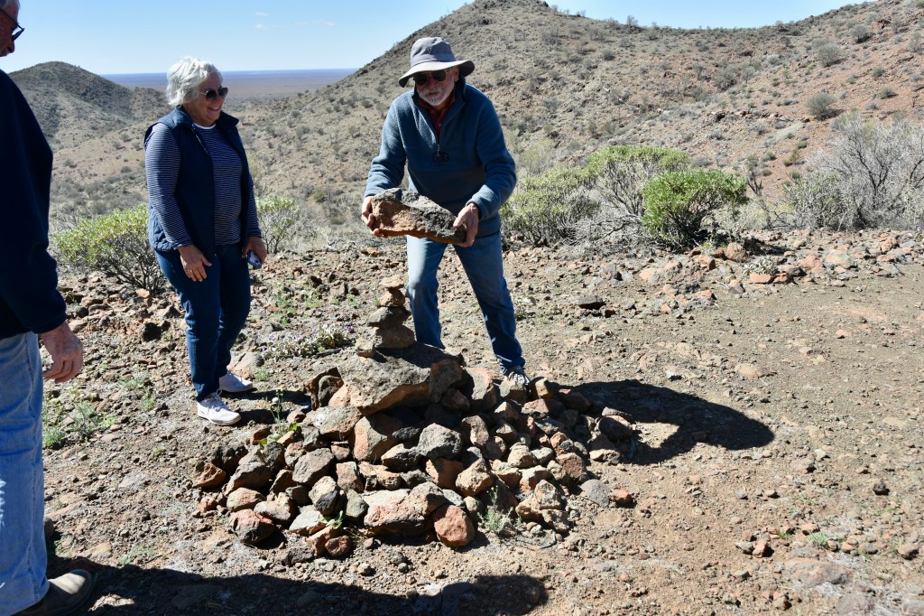
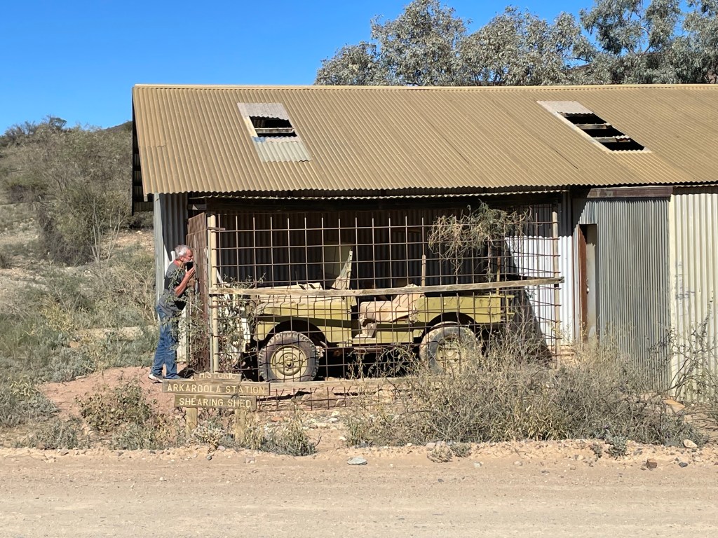
    Still at Arkaroola , we set out on the third day for the Echo Camp Backtrack self drive. You pay the fee to get the track notes and the key to the locked gate along the way. It’s a 4 hour round trip.

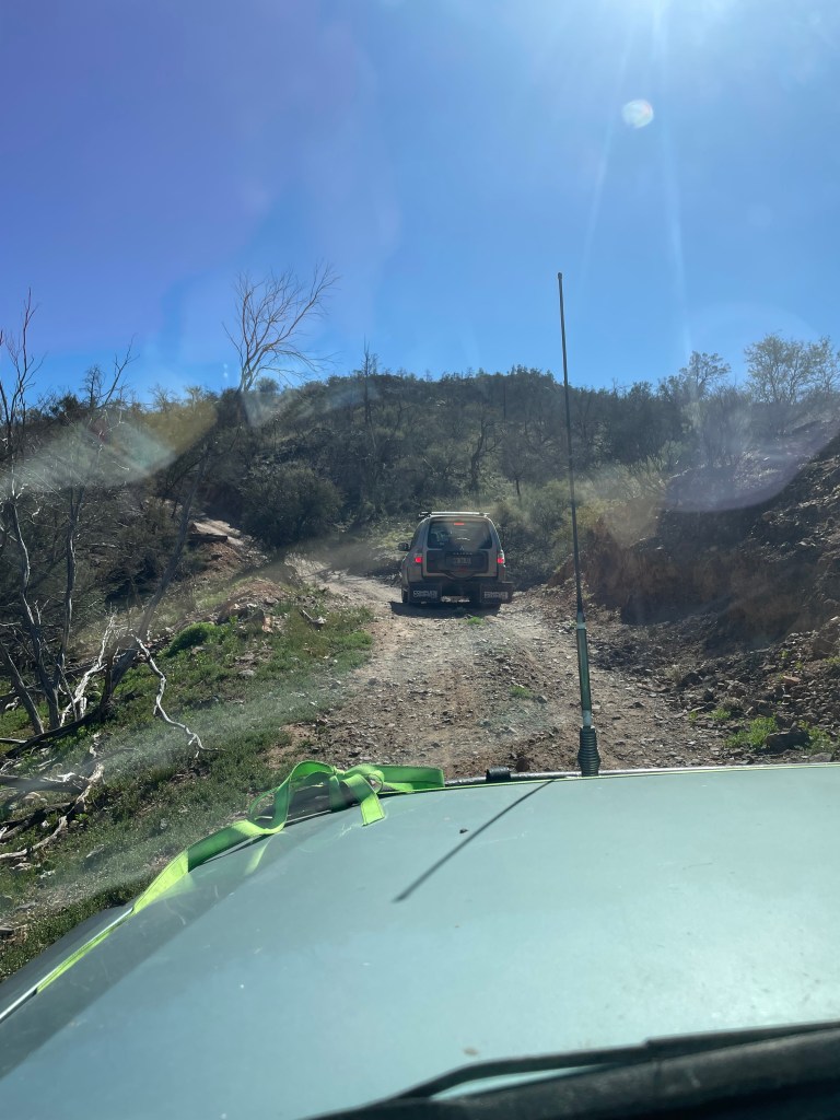
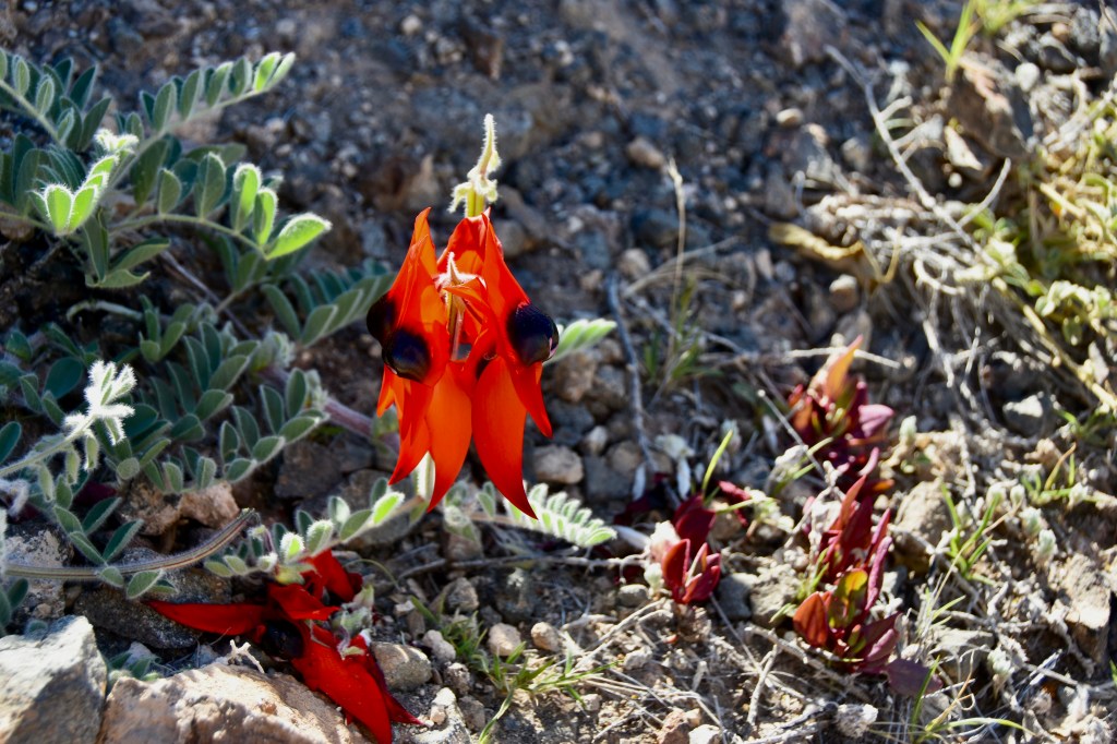
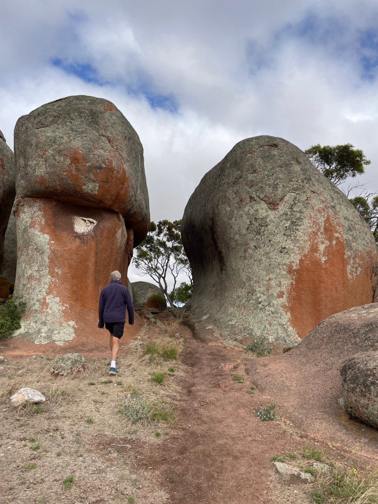
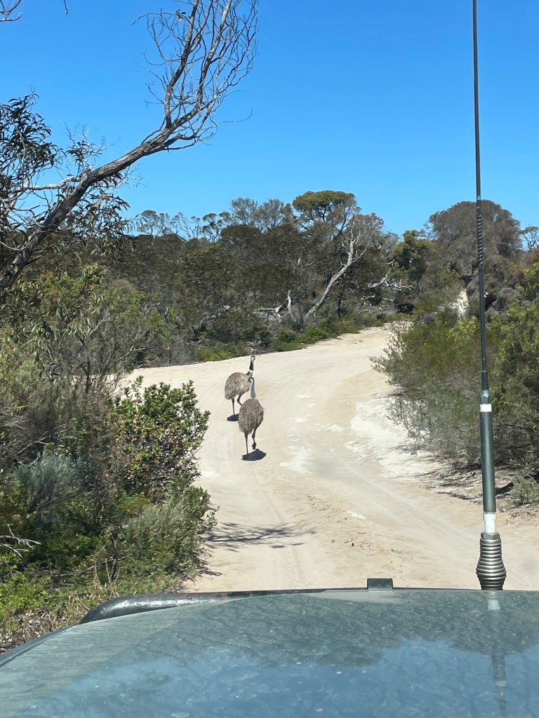
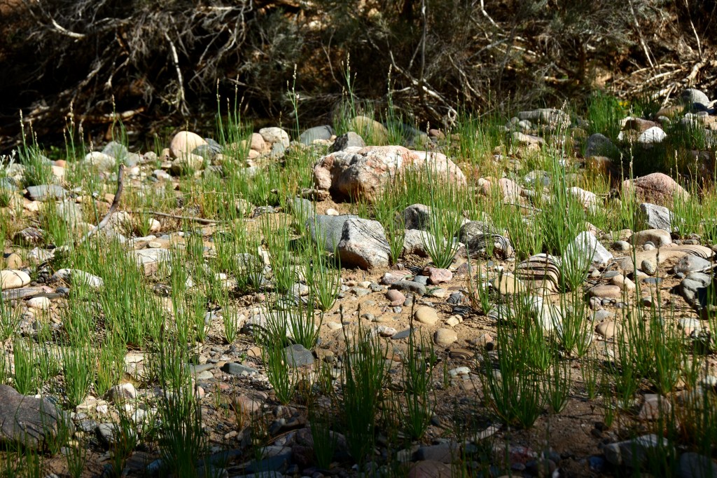
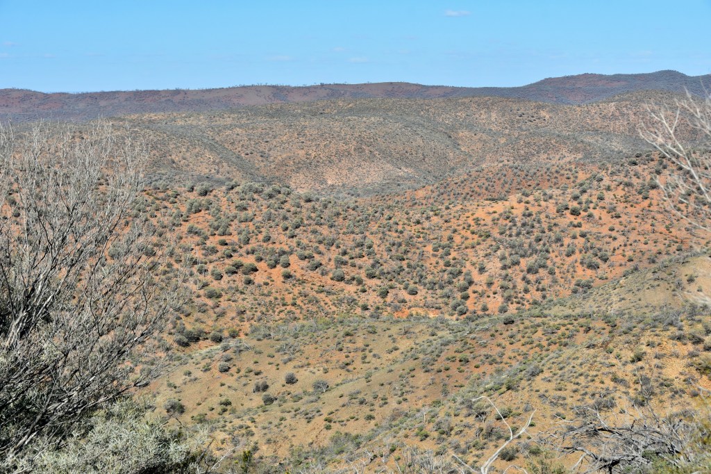
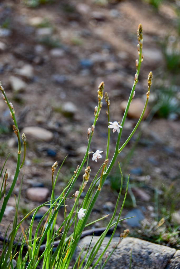
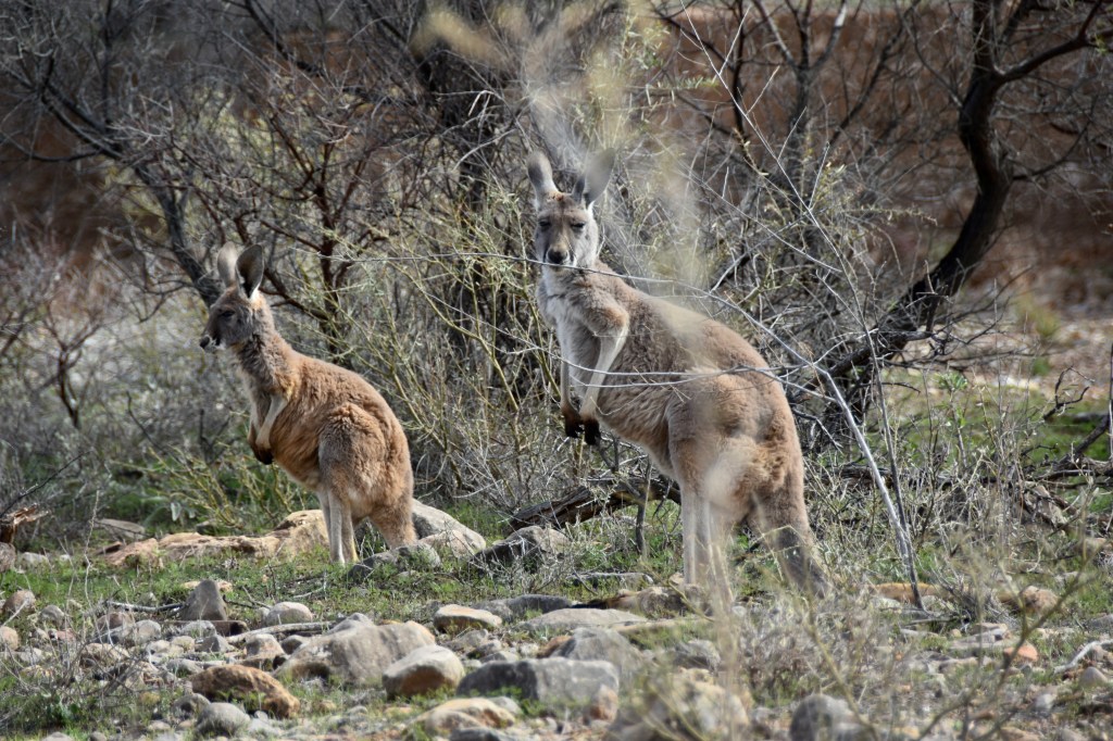
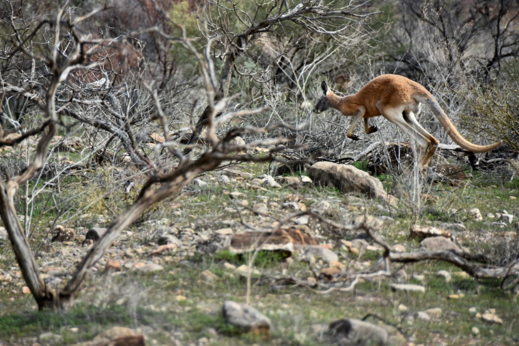
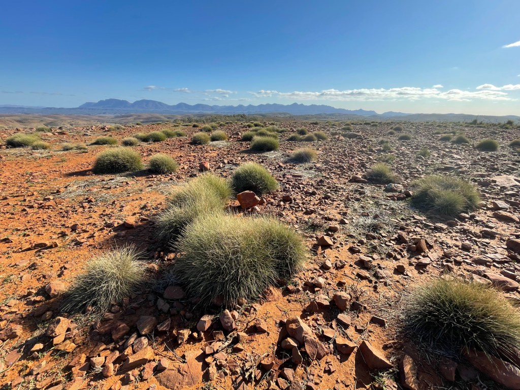
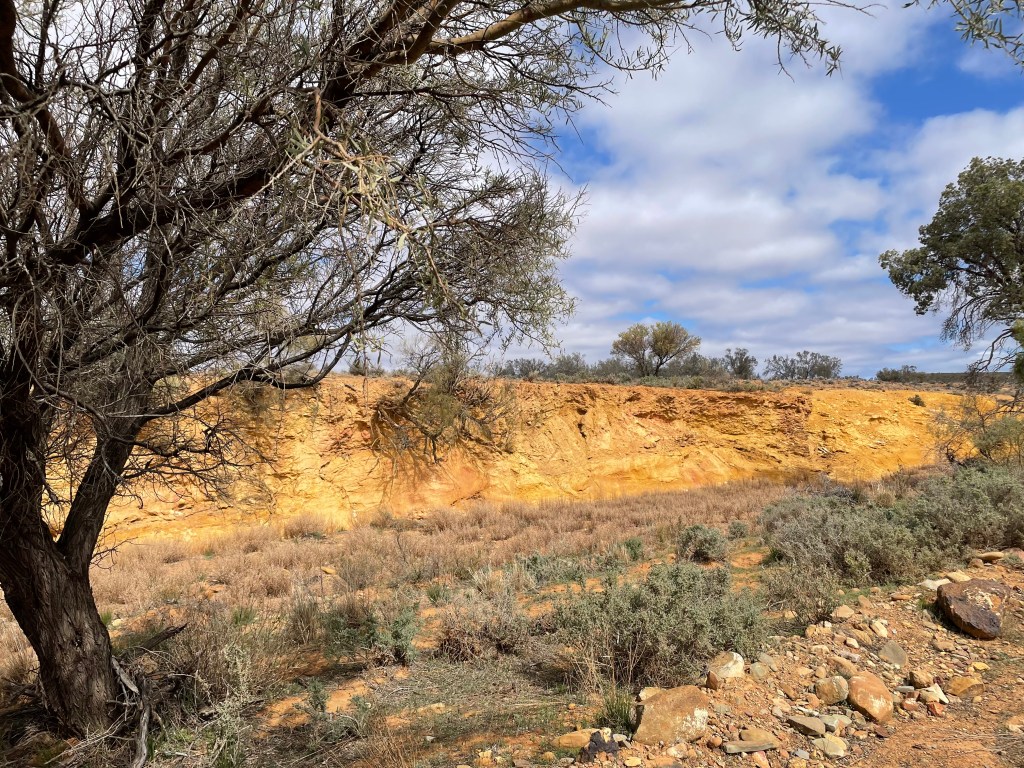
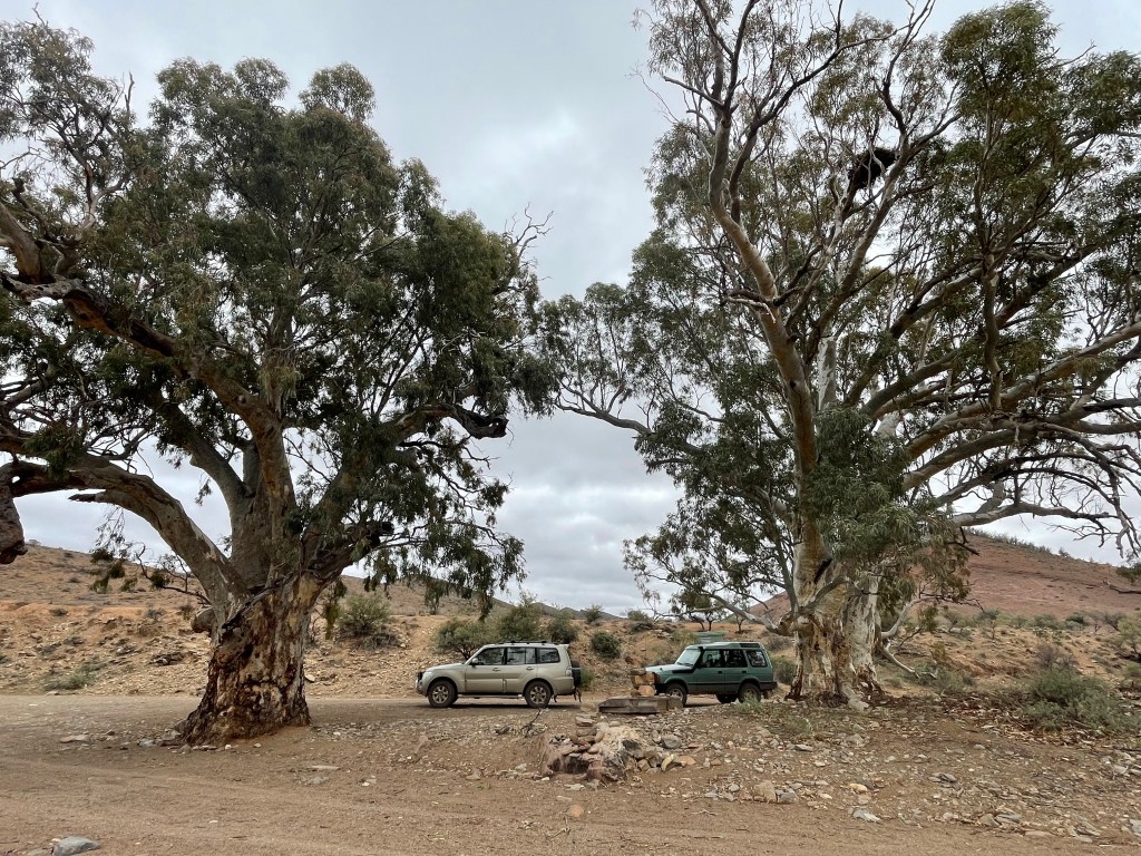
    This was a 4WD adventure that had some quite difficult terrain, however we were rewarded with some stunning scenery and a great oversight of the history of Arkaroola station. All the waterholes were dry despite high rainfall during winter around this inland northern corner of SA. Generally the area was dry and dusty with a sprinkling of green showing through from more recent rains. The massive River Red gums dominate the valleys and watercourses while the remainder of the landscape has the hardy dry country shrubs like Mulga, Black Cypress, Bullock trees and Acacias. There were a few kangaroos and emus, not many birds.

    Lunch stop Barraranna Gorge.

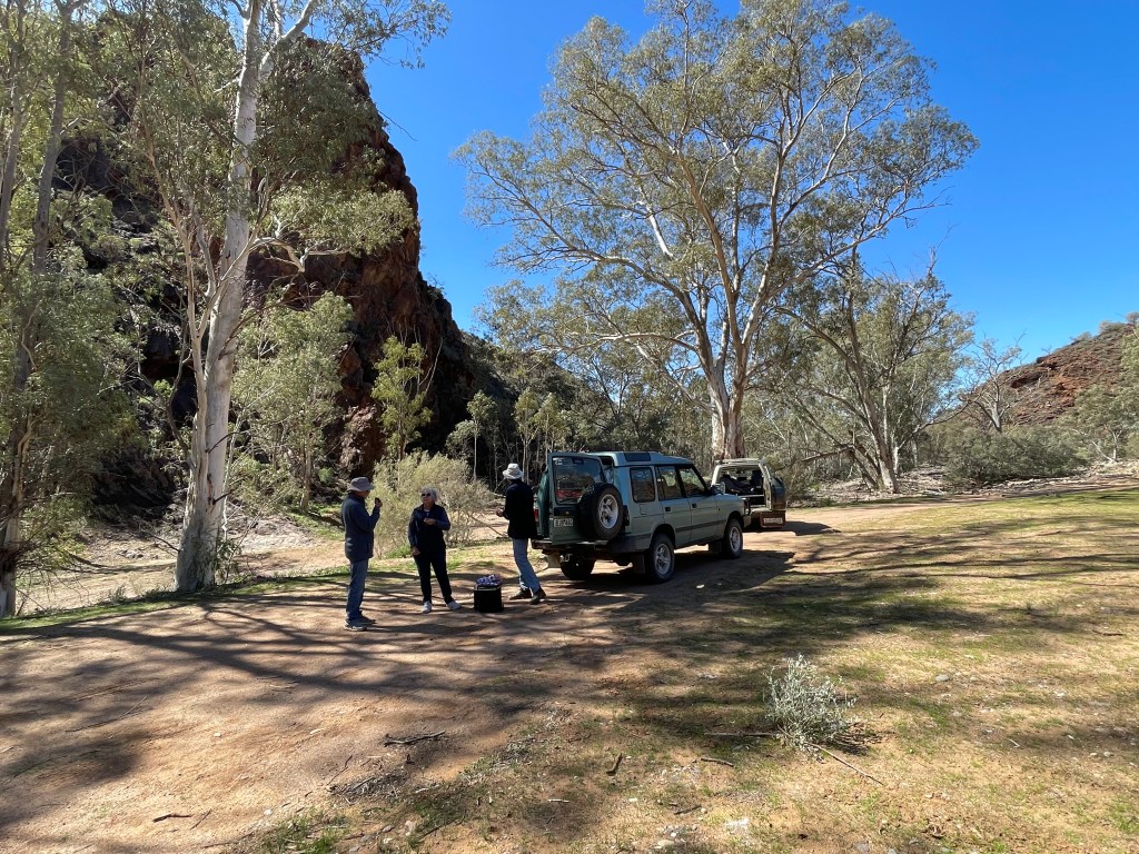
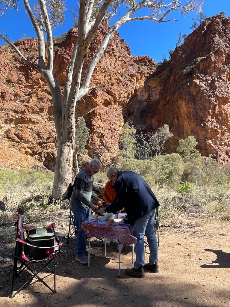
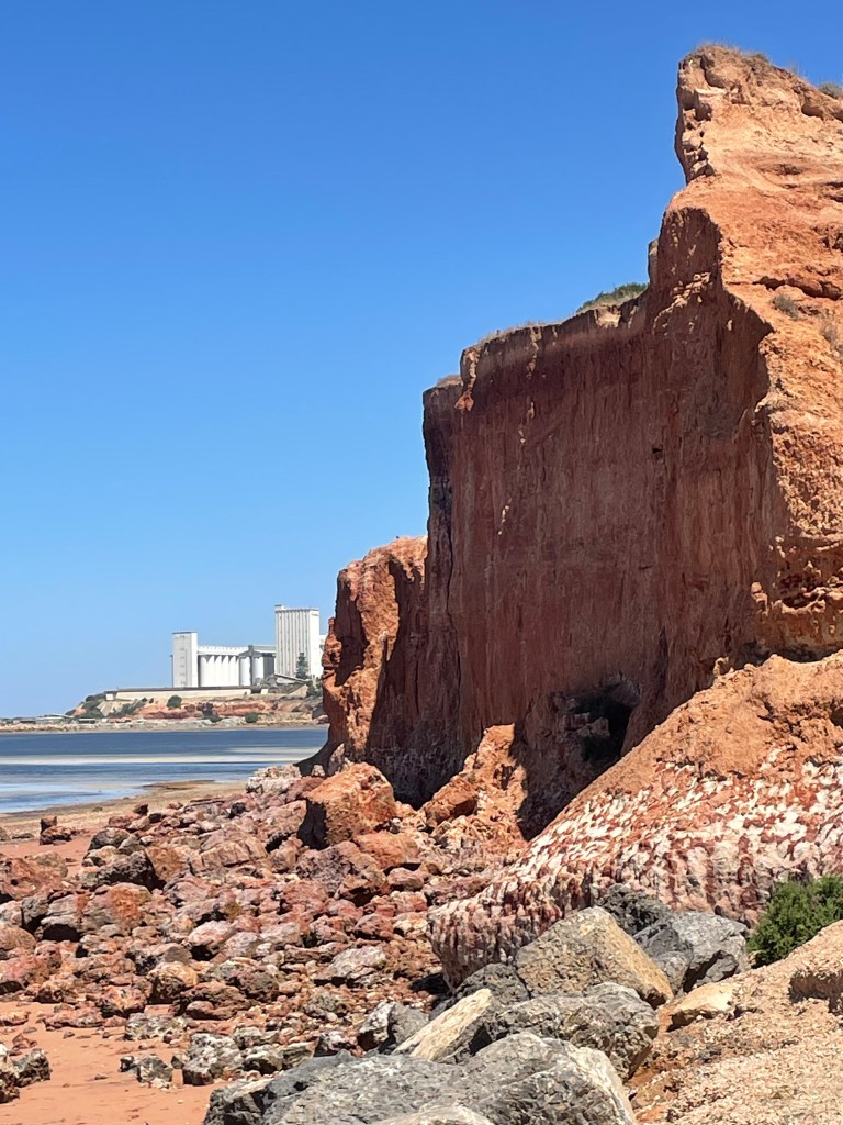
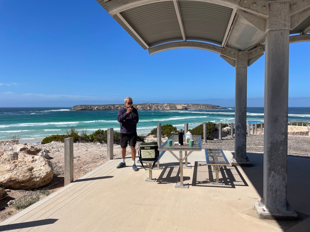
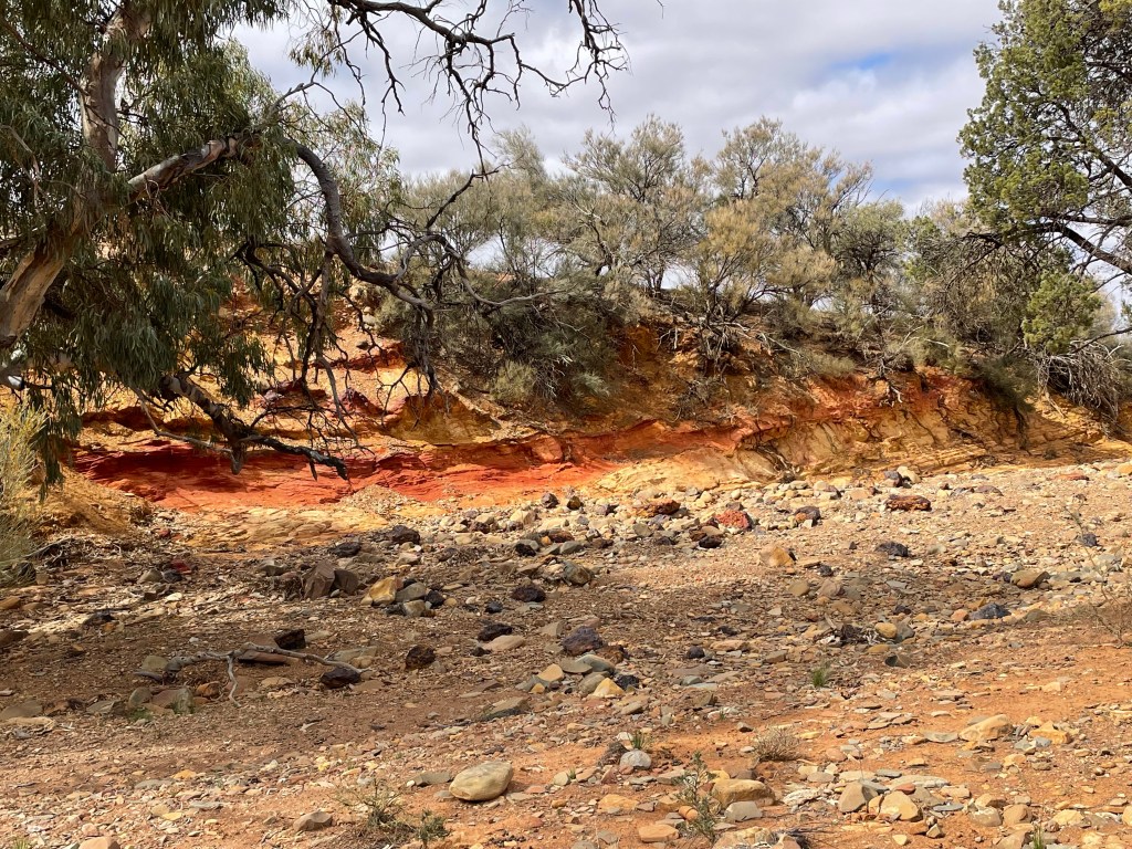
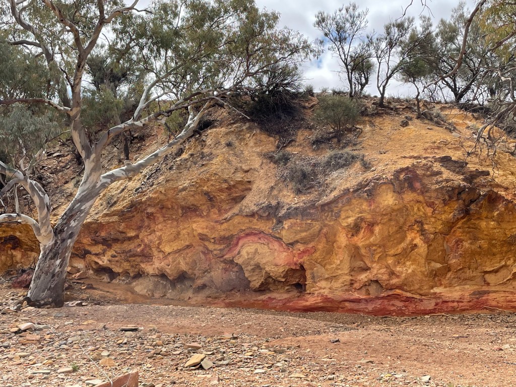
    We found a great spot for lunch where we duly broke out the table cloth, zero beers and snacks, thoroughly enjoying the peace beside the towering red ochre cliffs.

    Echo Camp Backtrack

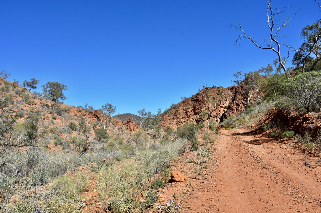
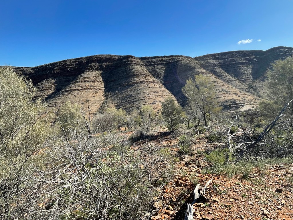
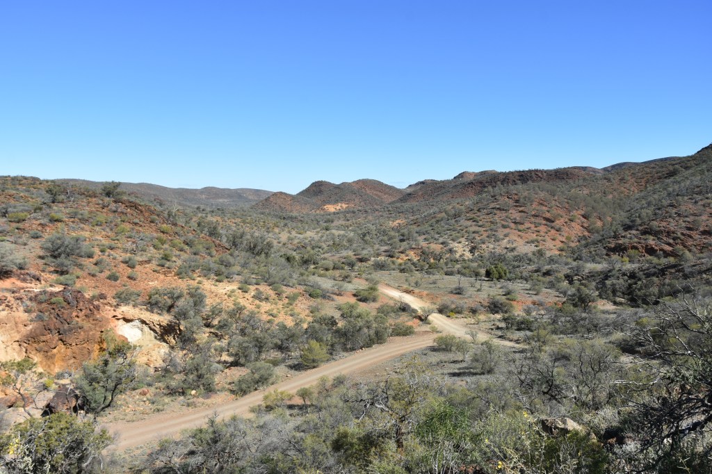
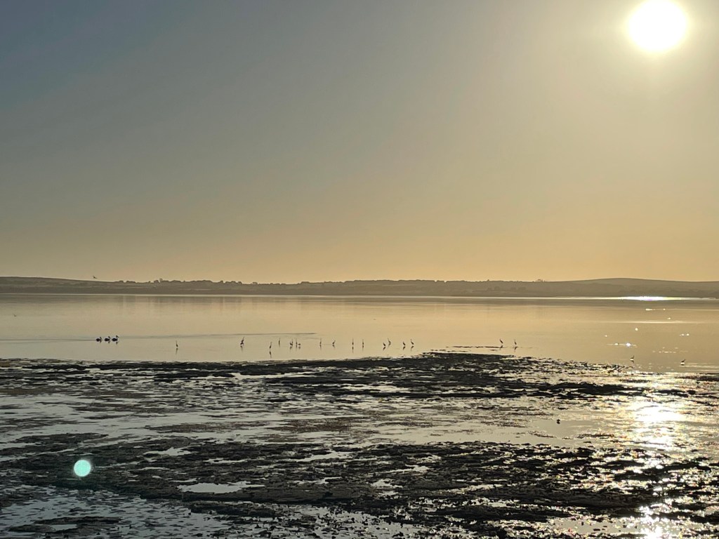
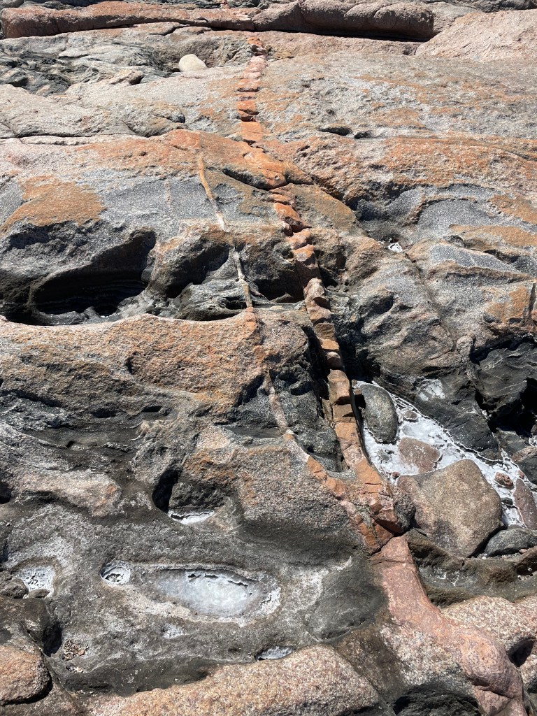
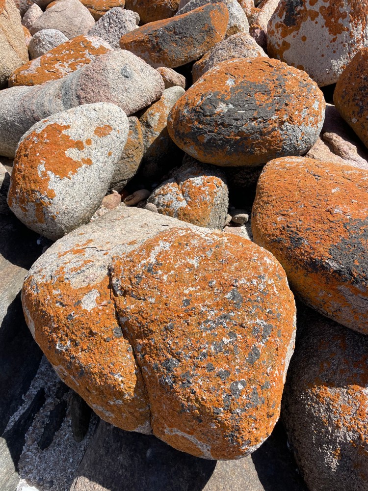
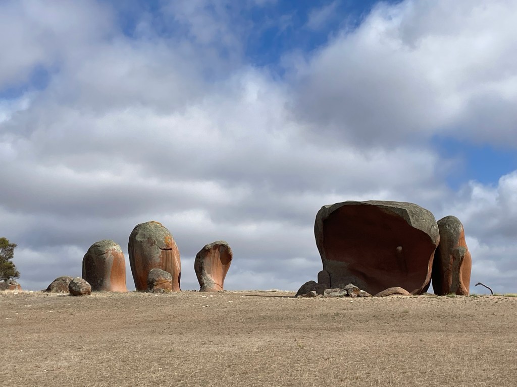
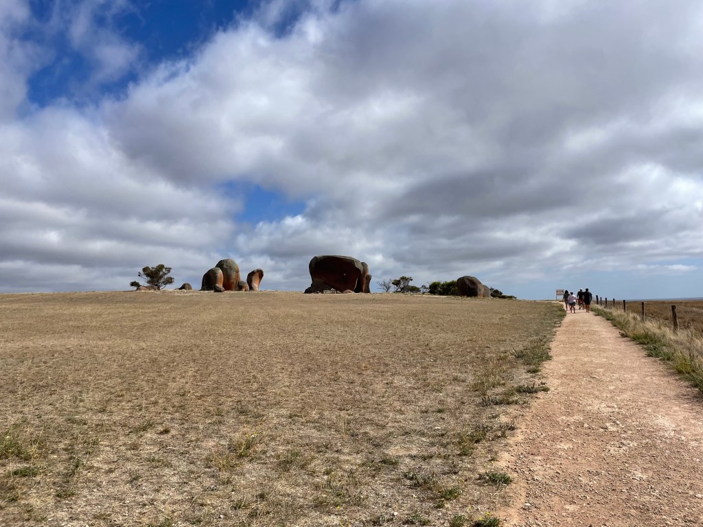
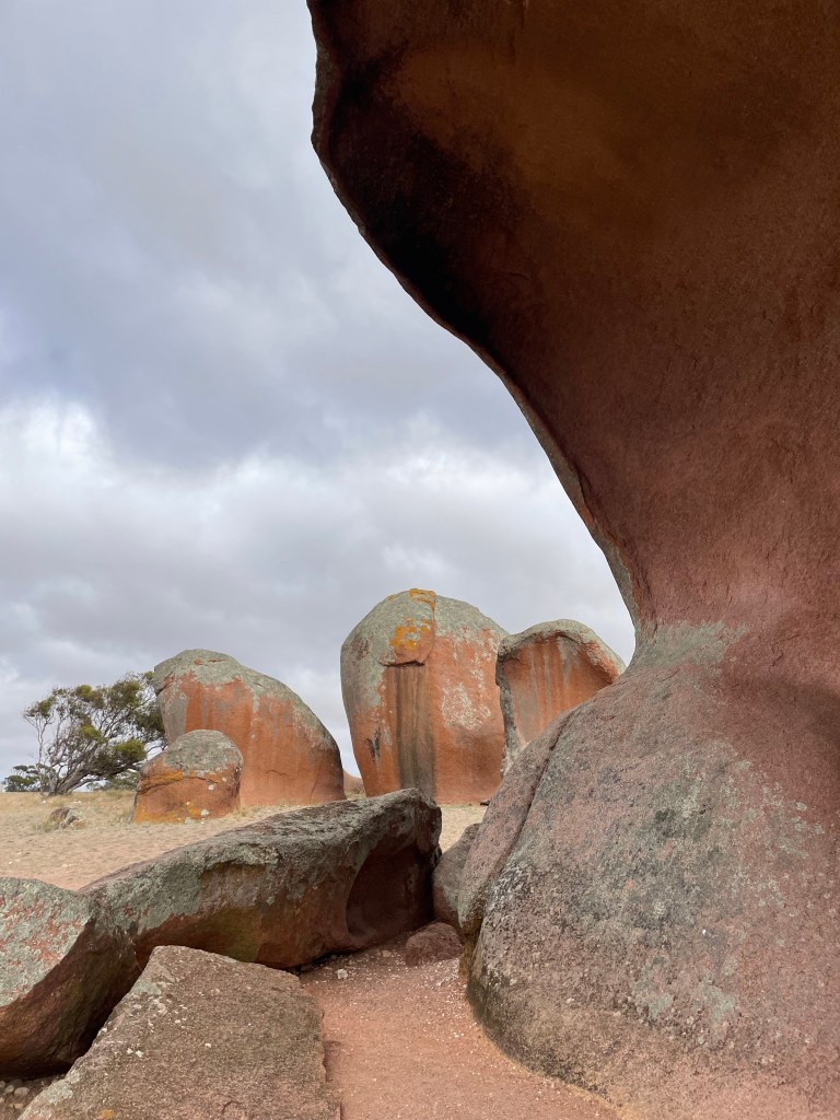
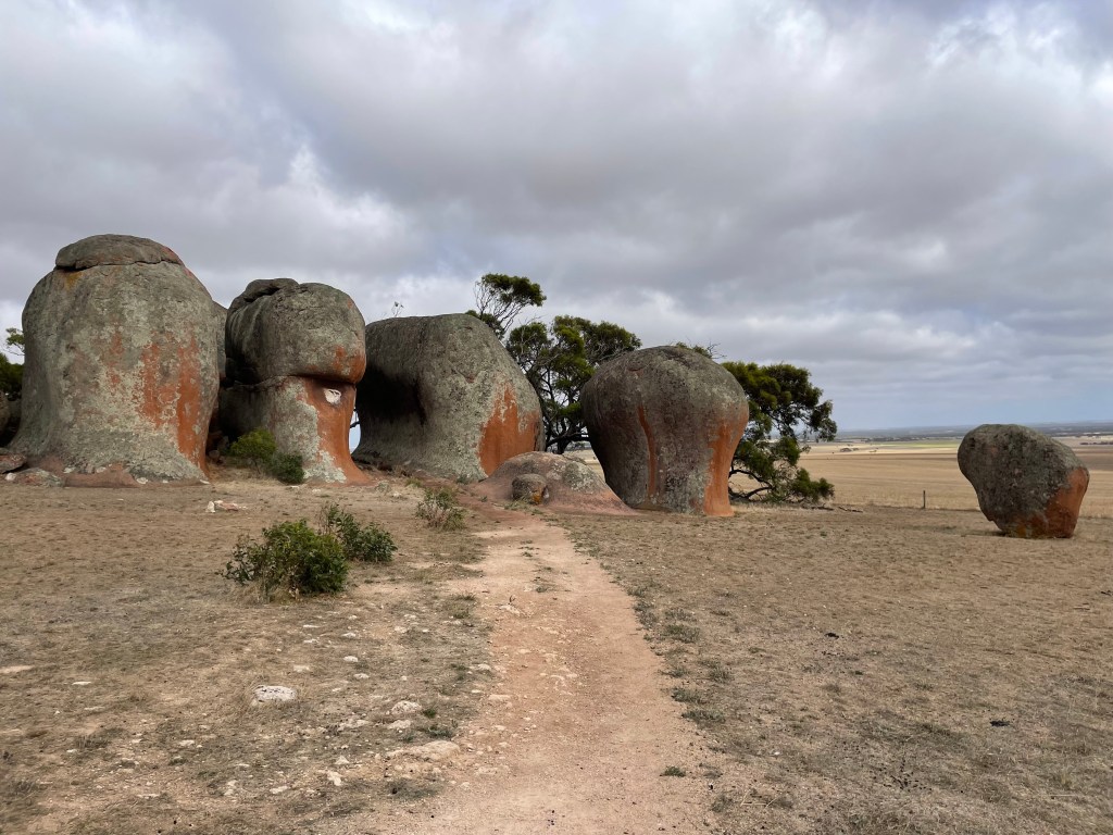
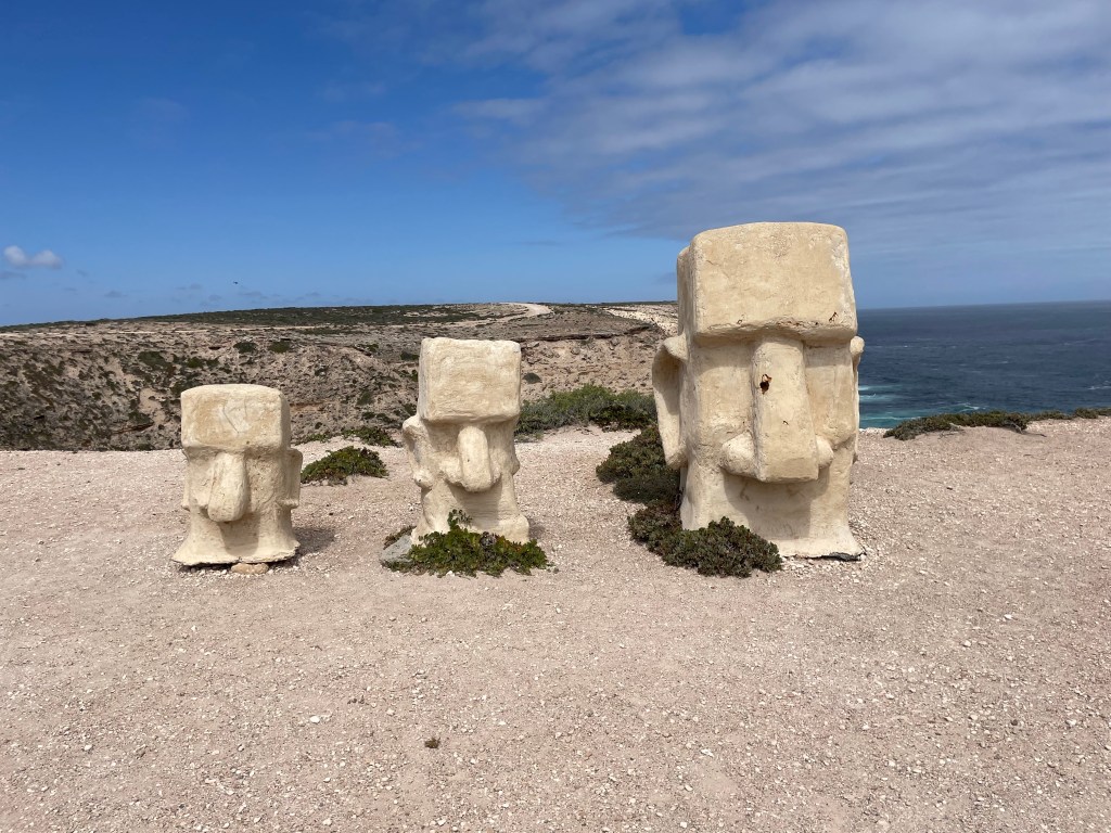
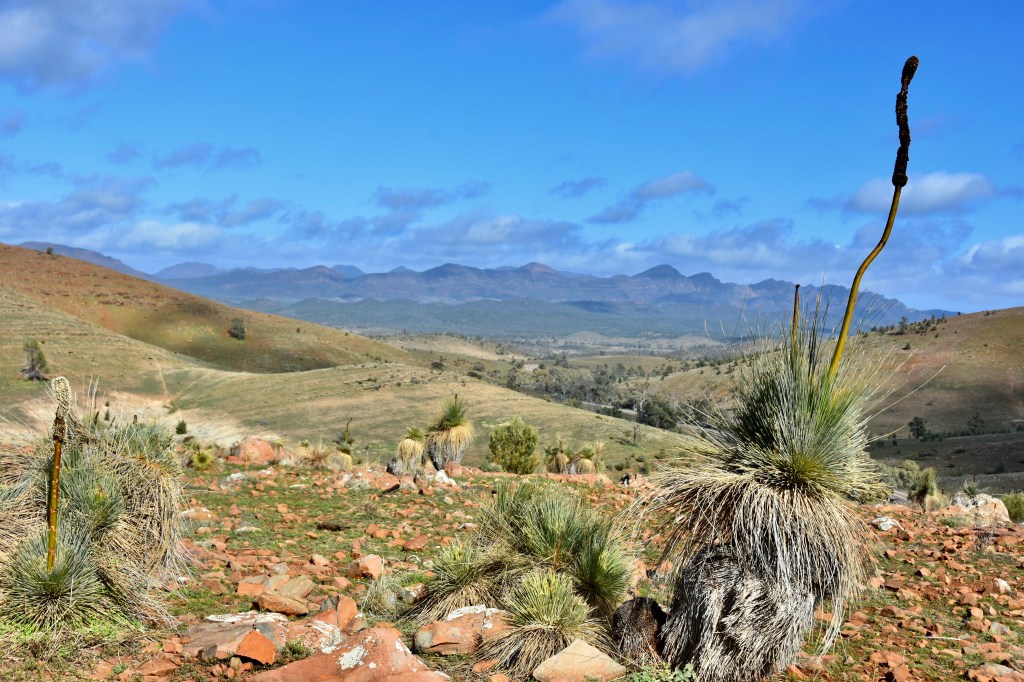
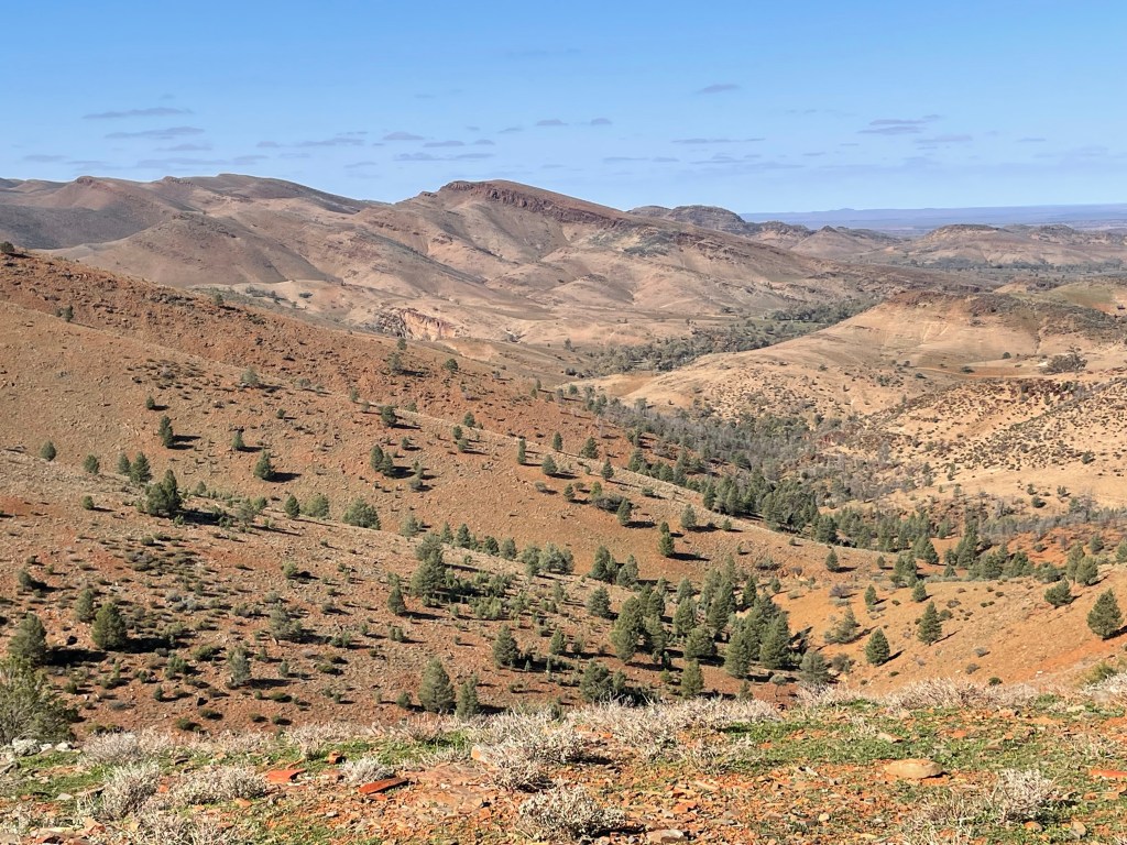
    The pictures will tell you how stunning the landscape was, although photos don’t really do it justice.

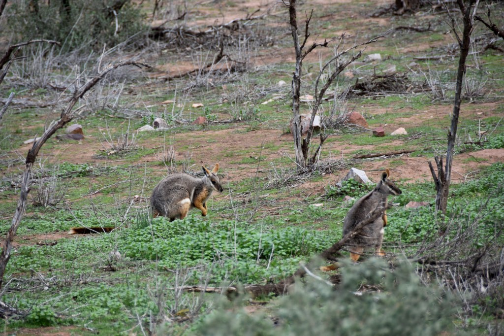
    It had been a big day, much bouncing over rocky roads, inhaling dust. Andrew & Marilyn went to see the Yellow Footed Rock Wallabys being fed, with Doug Sprigg, the son of the original settlers at Arkaroola, sharing his story about living there, which was most entertaining. 

    Look what Nick found……..

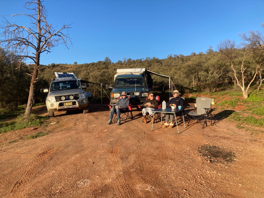
    We had made the best of Arkaroola. It was time to move on. We knew a severe cold weather blast was expected across southern Australia. The predictions were horrible. We rendezvoused with Neil and Erica in Blinman, then settled for the night at Alpana Station. Neil had nicely placed the Penguin beside an ensuite between 2 buildings…our site was out in the open paddock with a couple of small gums surrounding us. The wind was strong, it was already very cold. We were preparing for a repeat of the night at Arkaroola. Fortunately, it wasn’t toooo windy or wet. We enjoyed a lovely fire in the camp kitchen and survived another night.

    A fraction of the 360 degree view from the hilltop at Alpana Station

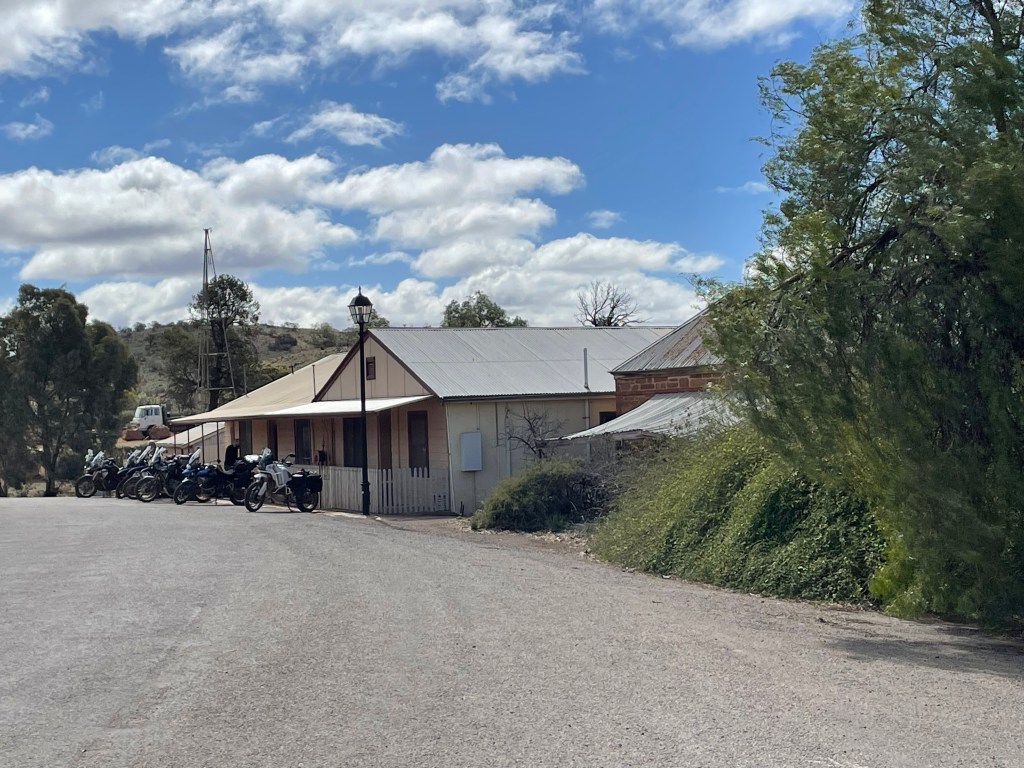
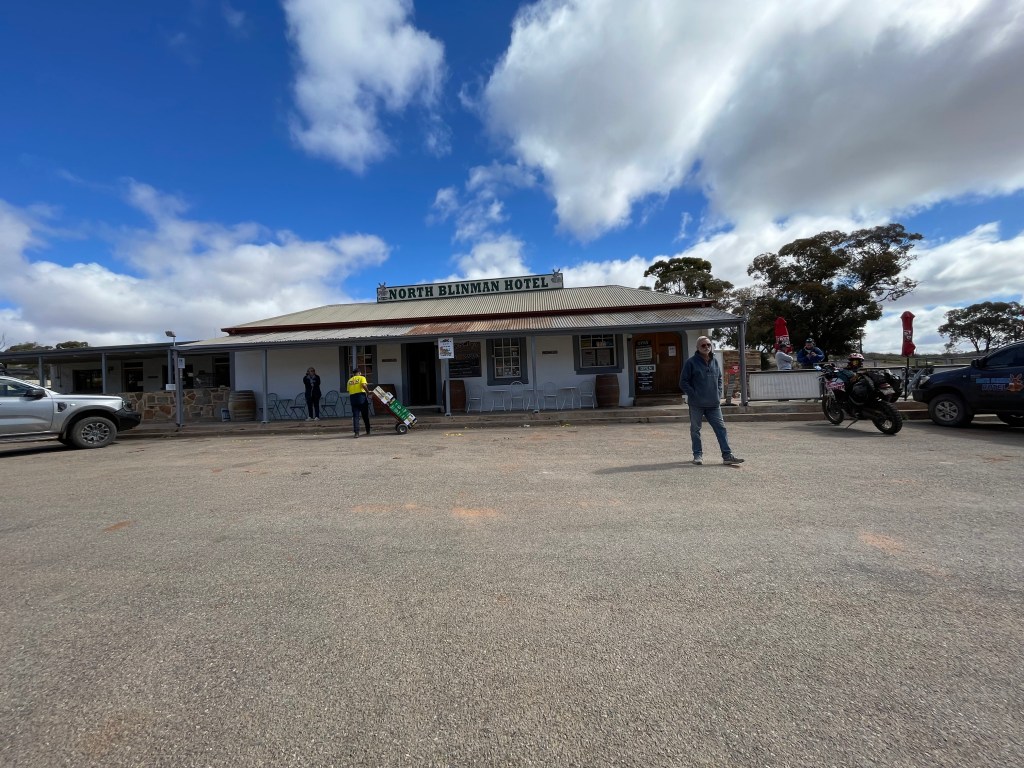
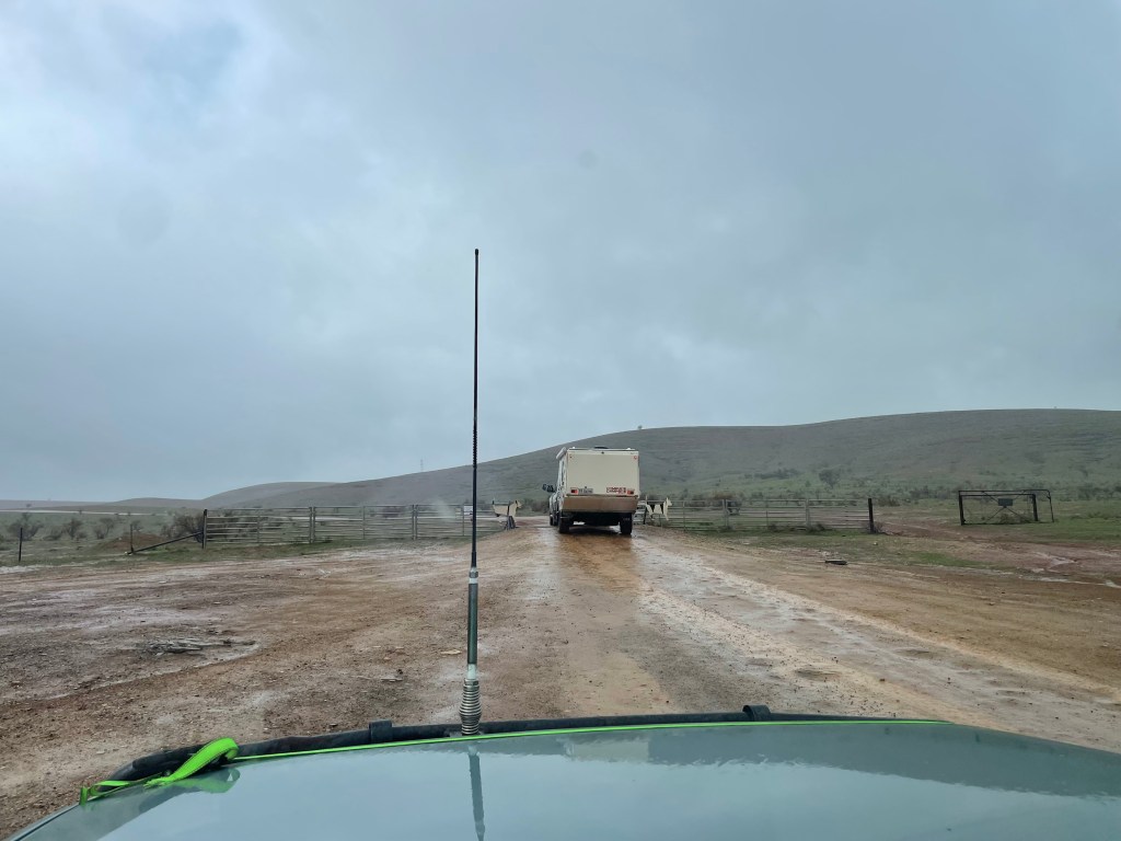
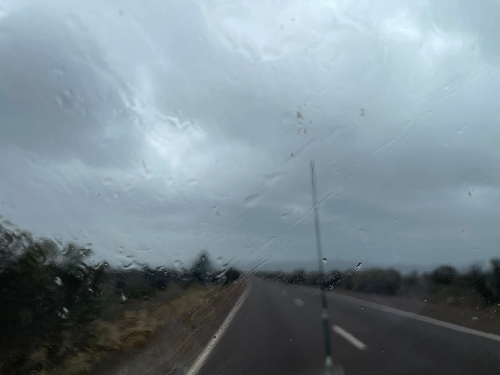
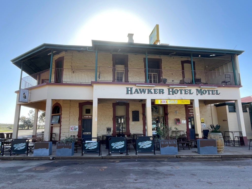
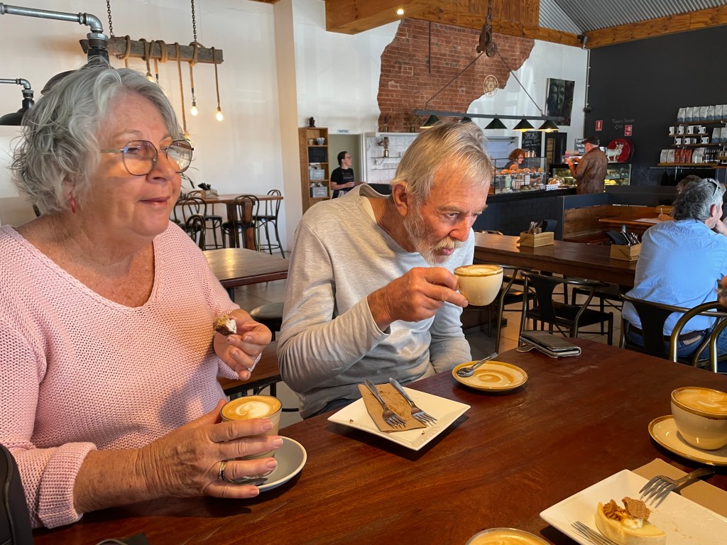
    The next day we all headed off to Willow Springs Station. After coffee and cakes, huddled in the warmth of Blinman’s cafe, we set off. This morning was very cold, almost Arctic! The sky ahead was black, the rain constant and the cold wind buffeted the car. We wouldn’t have been surprised to see snow. Driving into Willow Springs over red muddy roads in the rain, morale was low. We checked in with reception, not sure we really wanted to stay. At the camp kitchen we used the wifi and found we could make a booking at Hawker Hotel, about 60 km further south. It was a joyful few moments for everyone when we realised we would be dry for the night, in a room with the toilet nearby, out of the wind, with a heater, with a pub meal onsite. And no red gluey mud to deal with.

    Entrance to Willow Springs

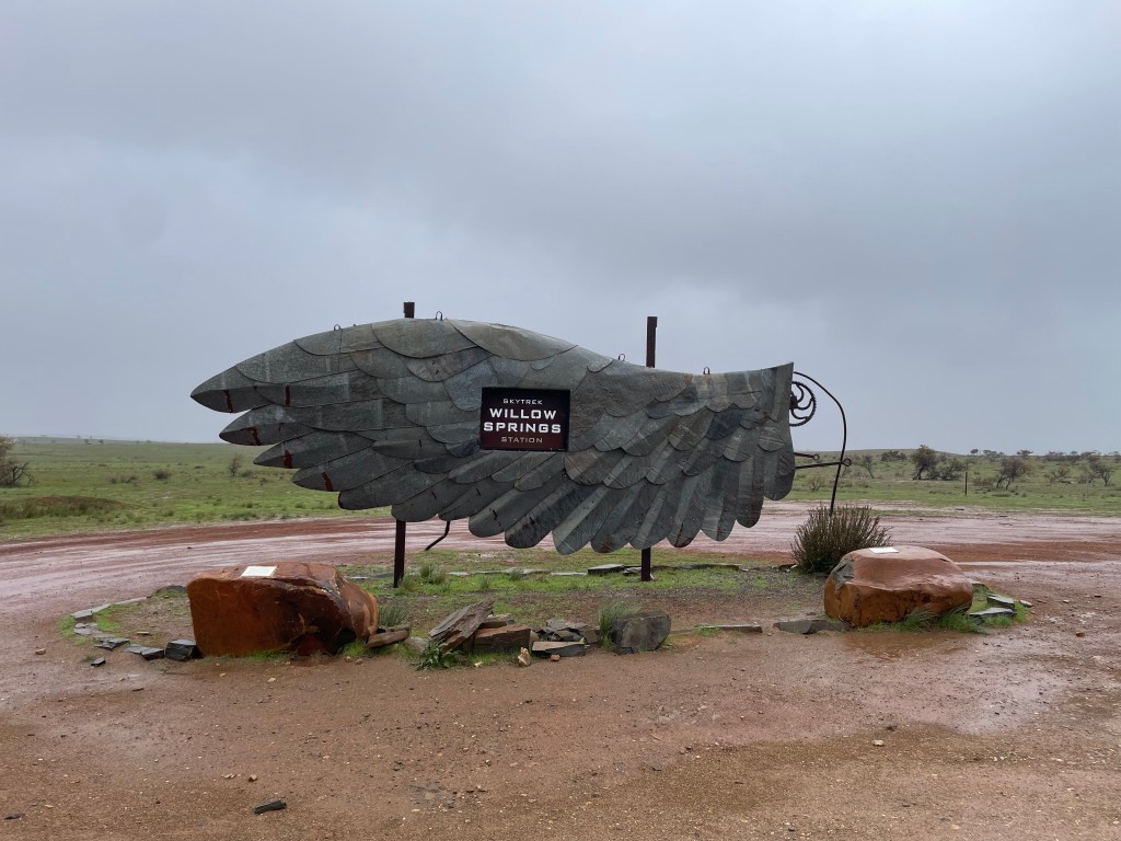
    Erica was a bit sick with the flu. They had done the Flinders Ranges on other trips, so they decided to hightail it back home to Byron. We 4 felt we had come this far, silly not to see the rest of what the Flinders had to offer. So back to Willow Springs Station. It had stopped raining by now and the bitter Antarctic cold had passed. We had a good campsite near the amenities and a great camp kitchen and laundry, so we were happy.

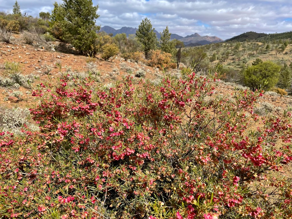
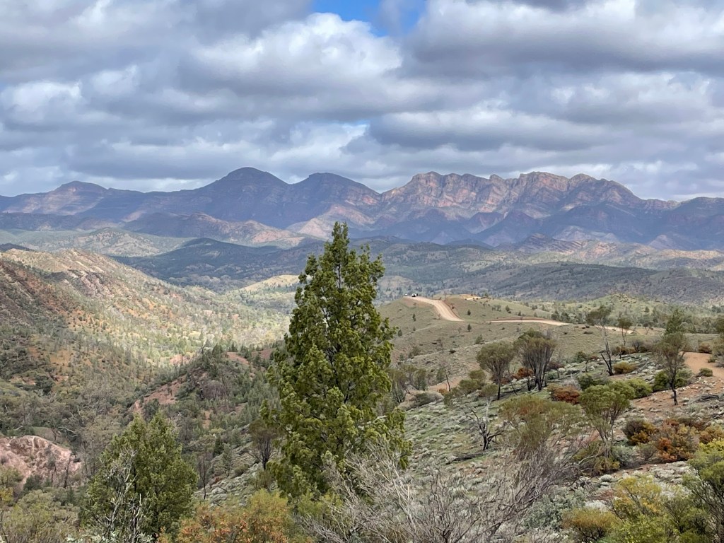
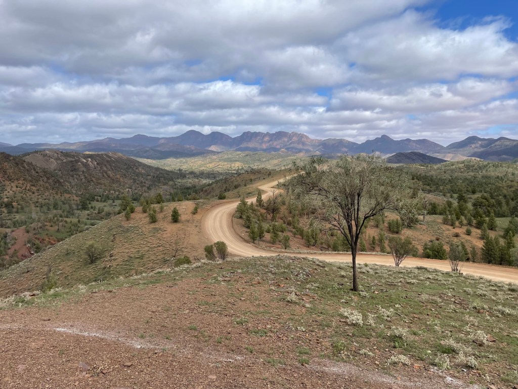
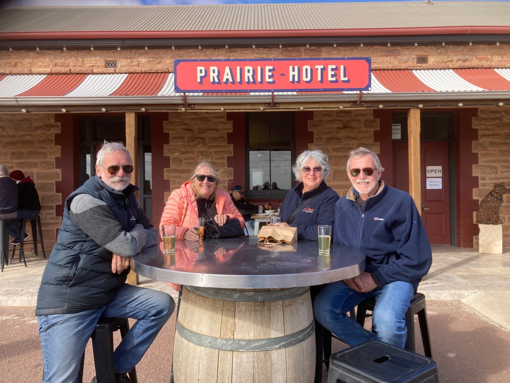
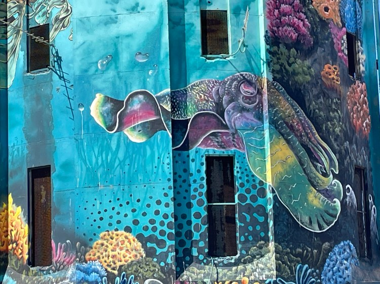
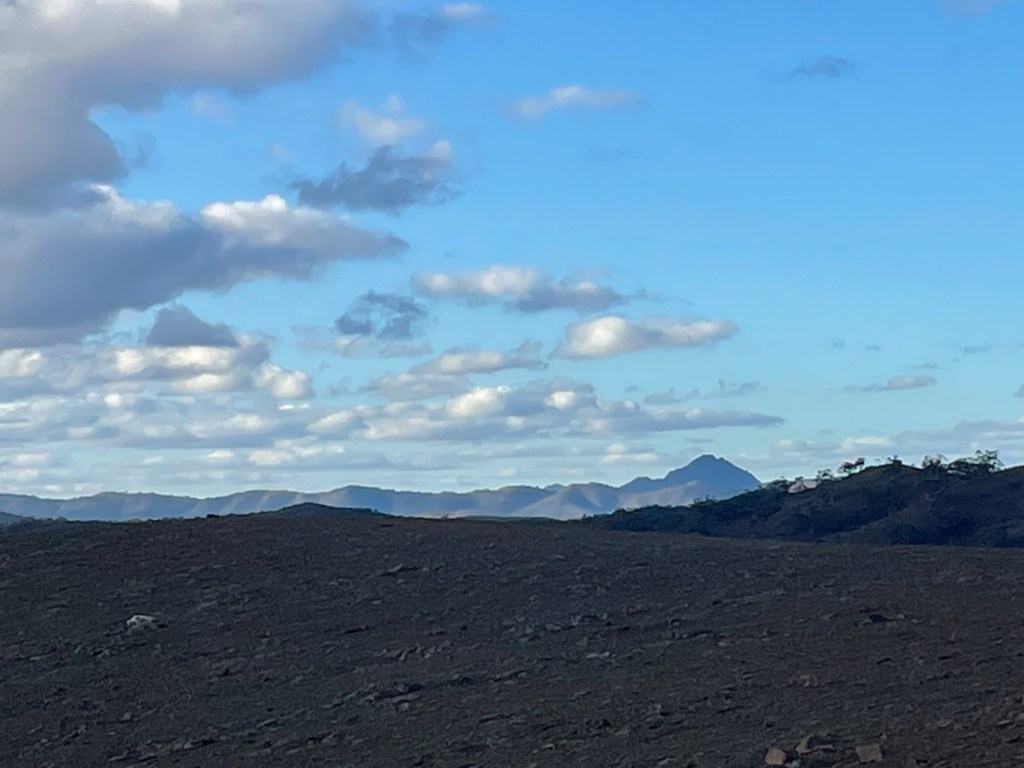
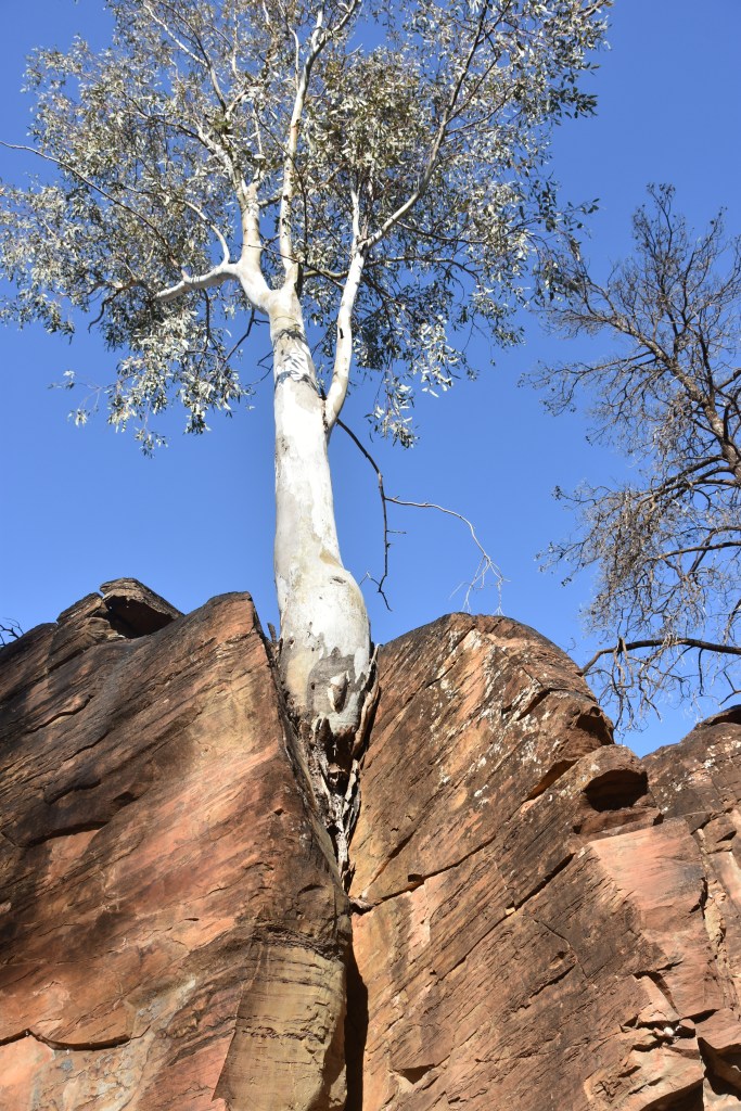
    We took a few hours driving around the spectacular Ranges. We took the Bunyeroo Gorge track and the Brachina Gorge track. The vistas over layered mountains with multicoloured hues, misty distances with dirt roads winding through, were an artist’s dream. I can see why Hans Heysen hung around the gorges painting such beautiful scenes. The red rocky gorges with the massive red gums capture the essence of outback Australia. How can such enormous trees live without water? How can they grow out of rock crevices? We went to Parachilna pub for a beer. I was impressed with the artwork adorning the pub walls. There’s quite a sophistication at this remote pub, it does cater for all sorts of visitors. We drove home along the Moralana Scenic Route.

    View from the Outback Highway.

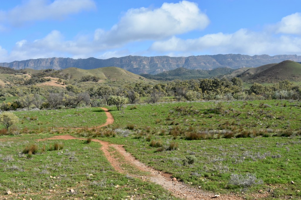
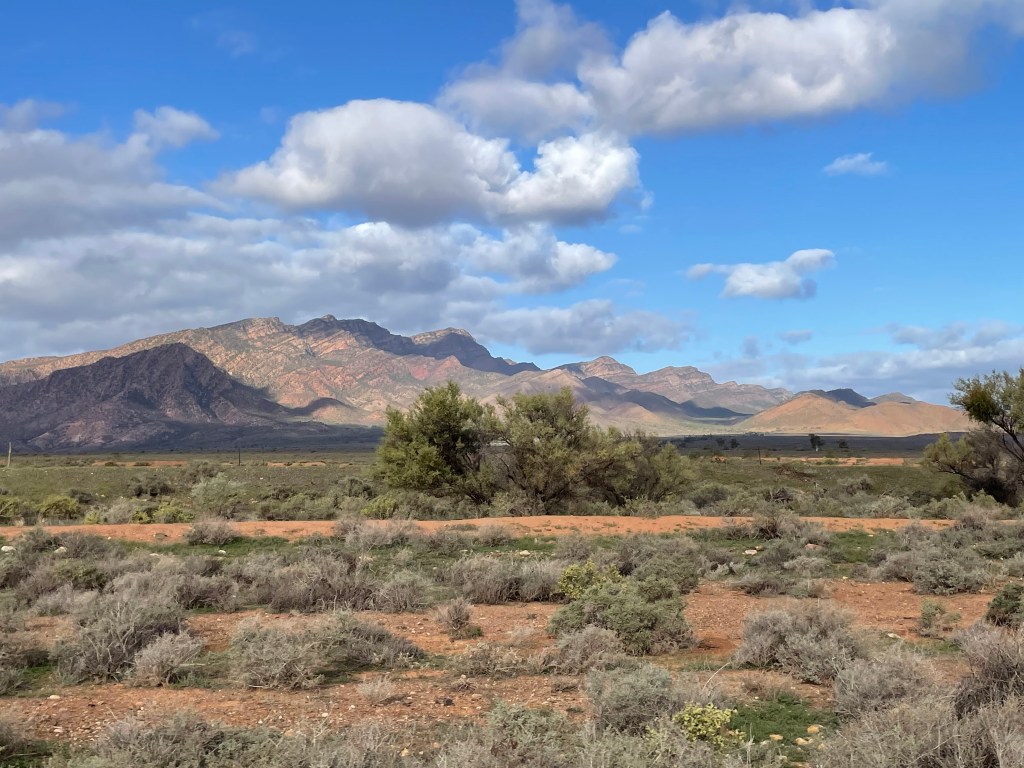
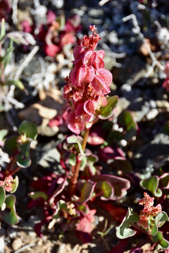
    Greeness is everywhere, there is a sense that this is rich pastoral country. That’s a false assumption, most of the green plants are weeds. I see all the beautiful reds and oranges of the rocks amongst my photos and get a shock when I see a green picture, and yet that is the norm not the exception.

    Gorgeous red kangaroo.

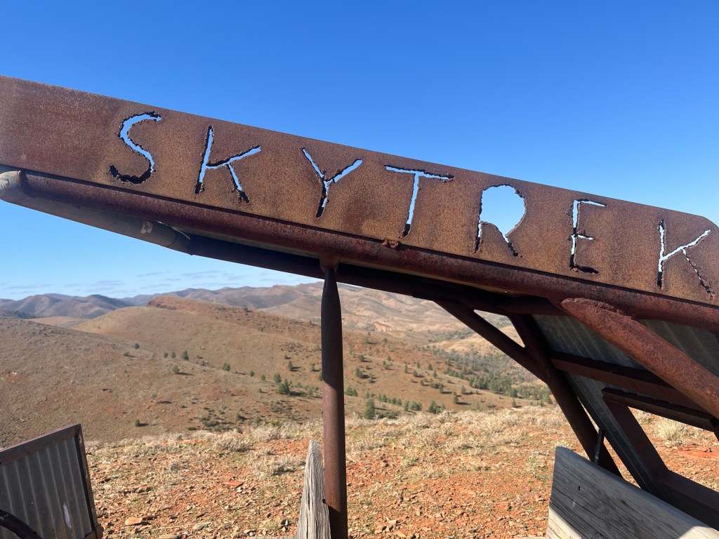
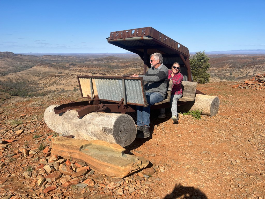
    The next day was the BIG one. Still at Willow Springs, we take the Skytrek self guided tour over the valleys and mountains of the station. Paying our $75 fee, we get some very comprehensive notes and a key to the locked gate.

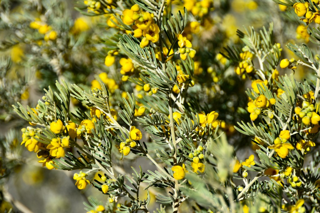
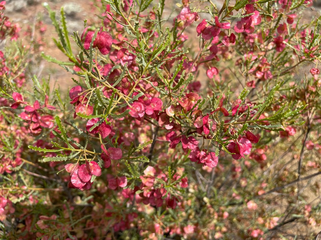
    We left at 8.30am. 8 hours later we returned from the 80km circuit. The first third of the day was amazing, many interesting places to see, history to discover, plants to learn about, wildflowers to find. The last third after the locked gate was when the instructions said, “engage 4WD”. We thought we’d done a lot of rough track, but now we were doing probably the hardest track we’ve ever ever done and it was relentless. Long steep upward gradients on a slippery gravelly surface to a high point, with a stunning vista, then long very steep downward slope over the edge before another steep climb reared up in front of us. The track had sharp rocks, boulders, deep holes, slippery slates, never ending. I was expecting to have whiplash by the end. But the scenery around us was breathtaking, the trip was worth it in the end. On the last highest hill on the property, there was a guest book you could sign and leave a comment. Nick read one out to me, it simply said “terrifying”. So enjoy the pictures, they were hard to come by.

    Lunch stop under the giant red gums.

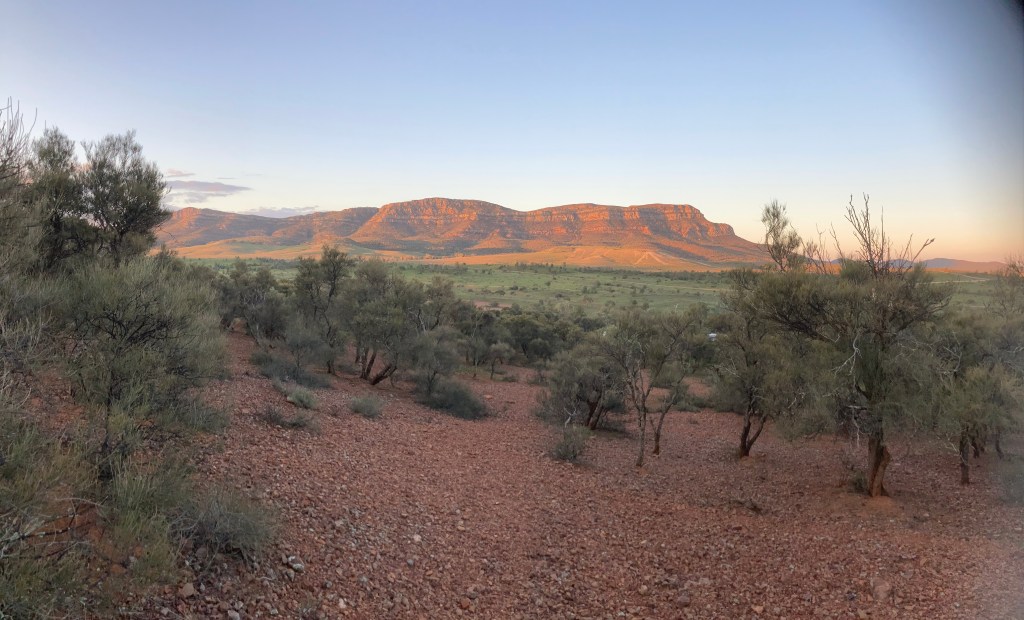
    Next day we moved to Rawnsley Springs Station, instead of Wilpena Pound campground as we’d planned. Excellent move to come here. We had the best campsite, on a high spot looking out at the rocky escarpment of Wilpena Pound. The sunsets were brilliant. Great amenities, a campfire at night, even a takeaway pizza on our second night.

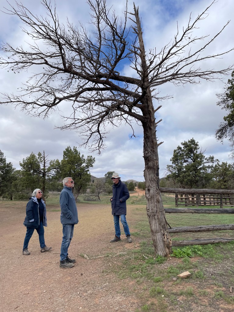
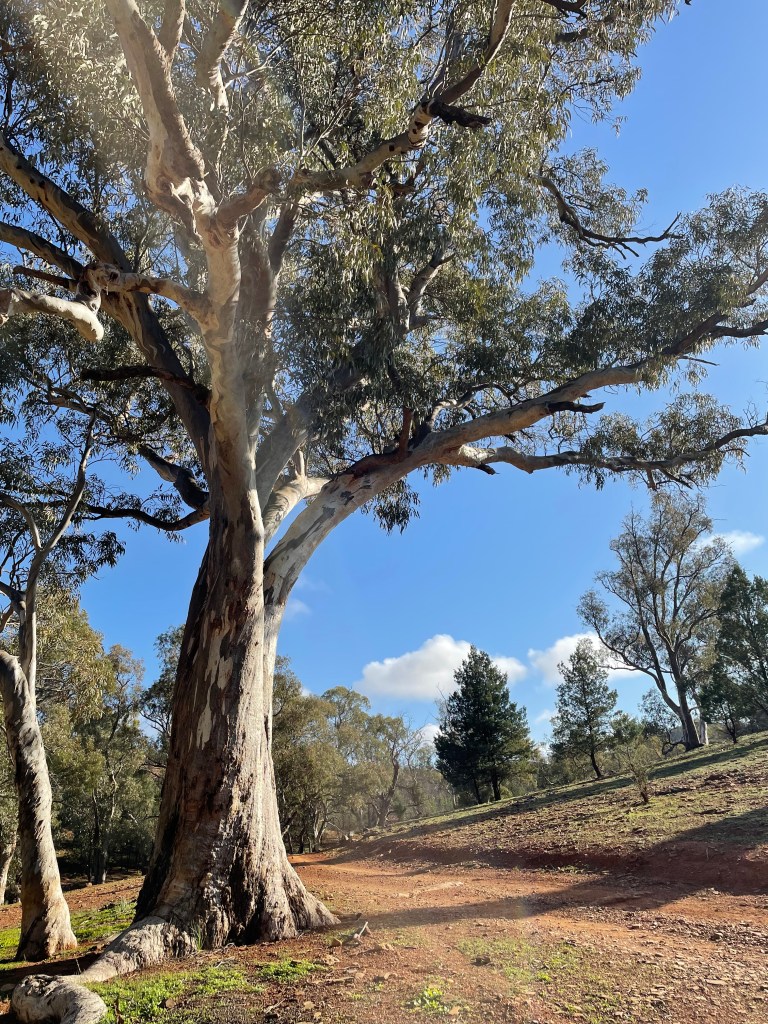
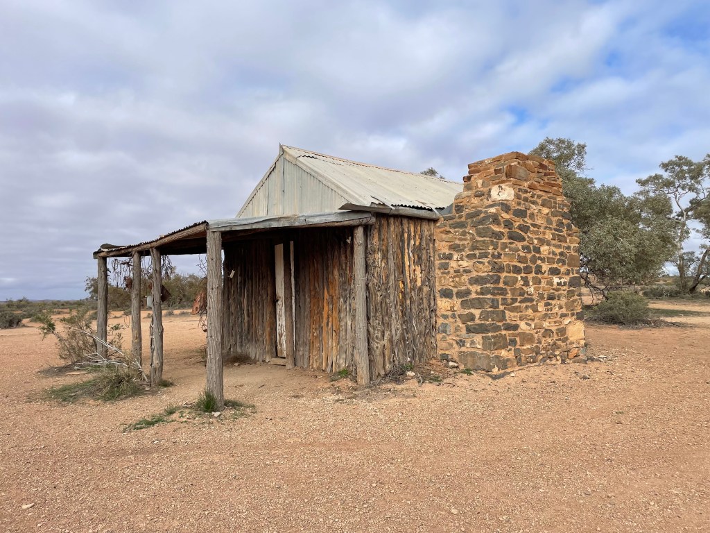
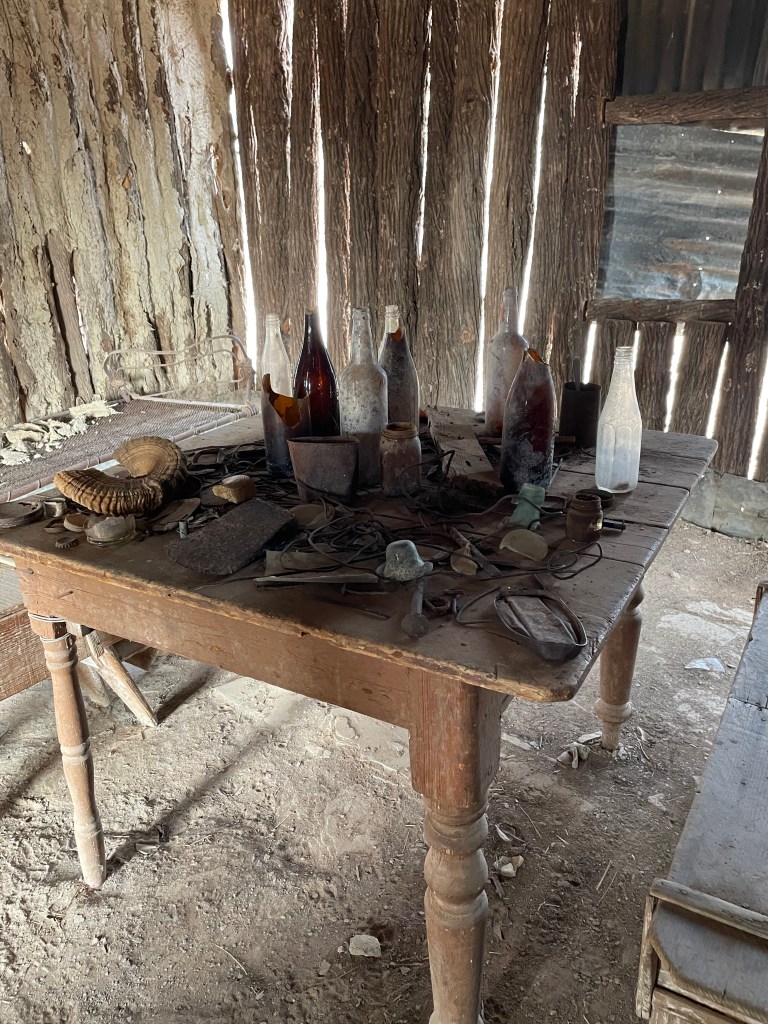
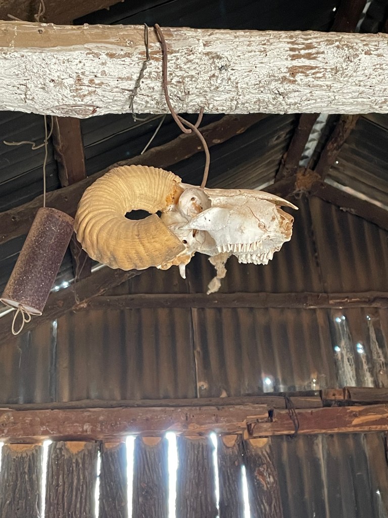
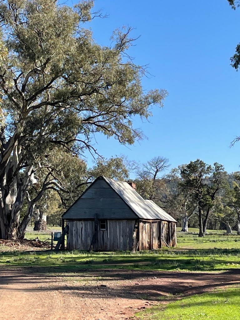
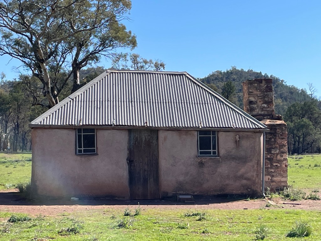
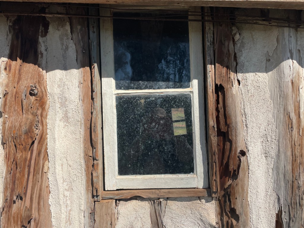
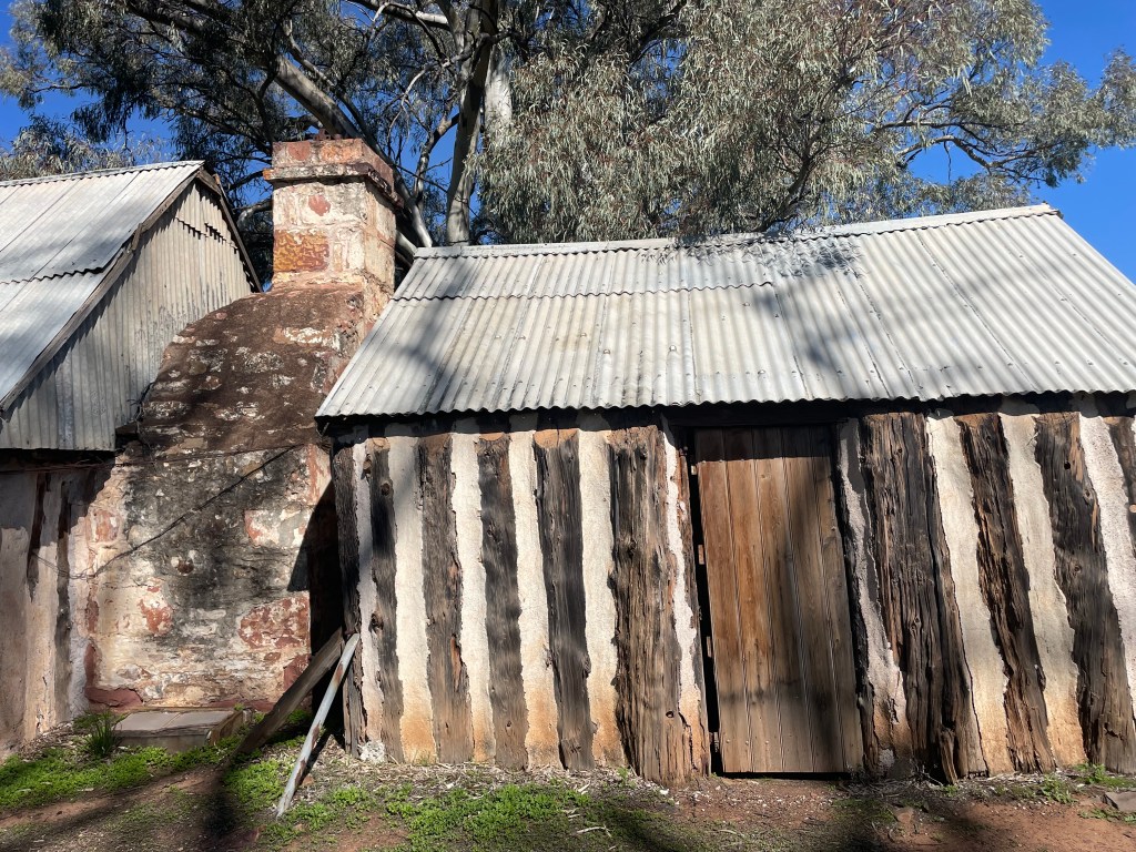
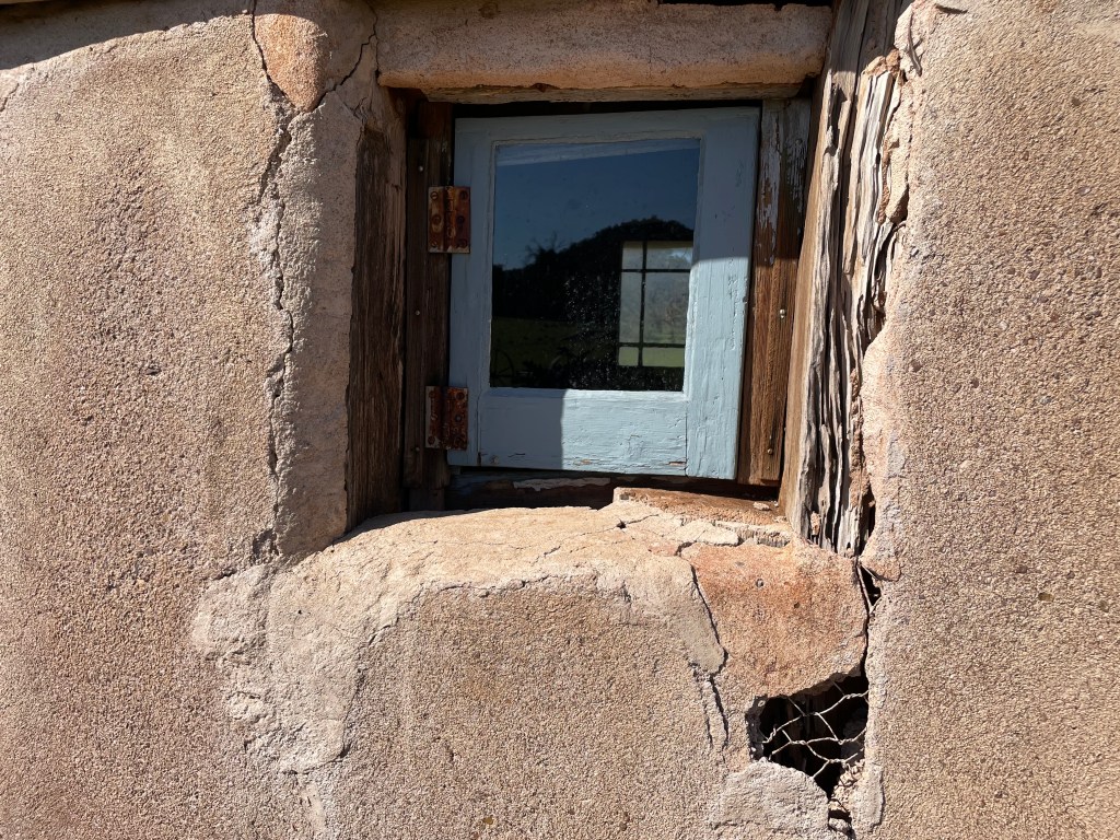
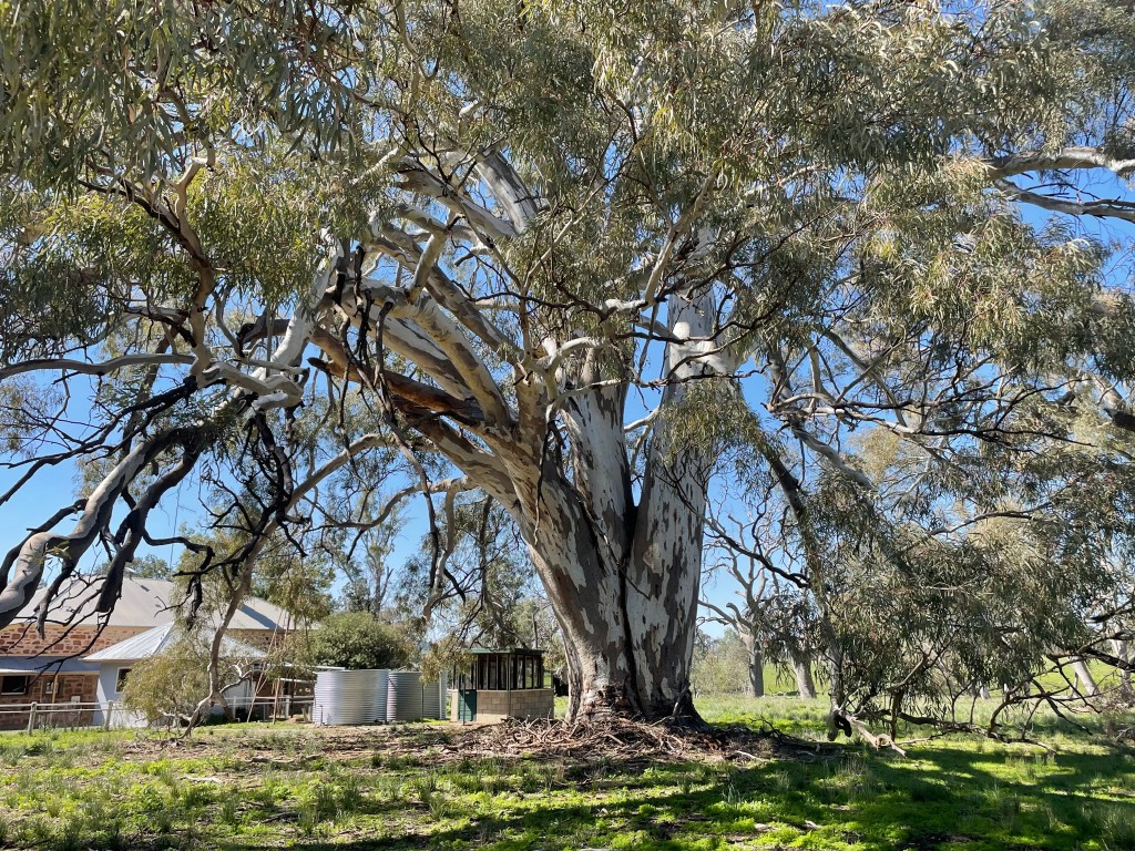
    We did a day trip to Wilpena just a short distance from Rawnsley Springs. The stop at the old homestead was delightful. The wattle and daub house was the best preserved we’ve ever seen and the red gum in the front garden was sooo big, it was magnificent.

    We drove on to Wilpena Pound store, had lunch there and looked about. If you’re not able to do the walks, you can’t actually explore the Pound properly, although there was a shuttle bus we could have taken, which still involved walking at the end….one of us was a little incapacitated. Fortunately we had all been to the lookout at the Pound on another occasion.

    Next came the last part of our trip. The long 1,935km to Lennox Head will be slowly paced to take advantage of this outback region. We started early with a coffee at the very good cafe in Hawker. Between Hawker and Broken Hill is endless open landscape, flushed with green but very few trees.

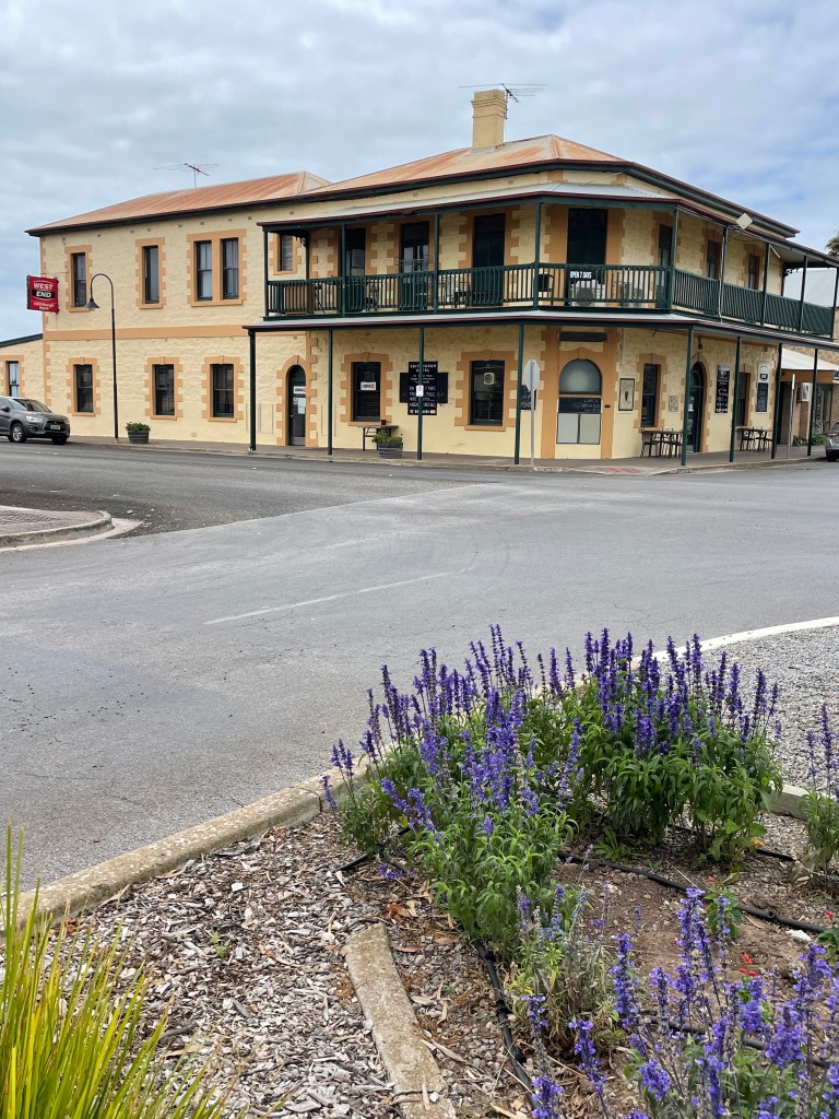
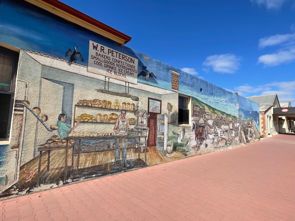
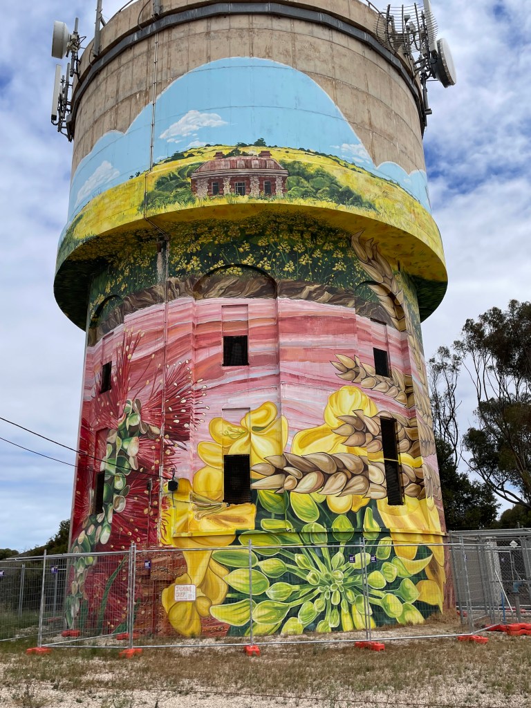
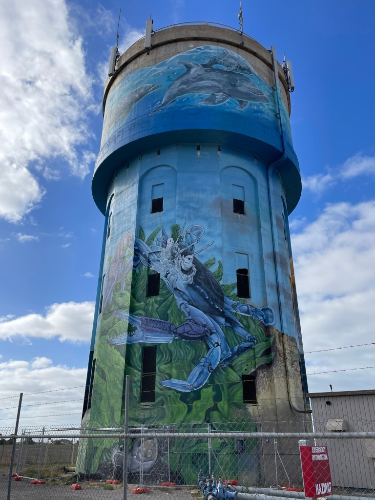
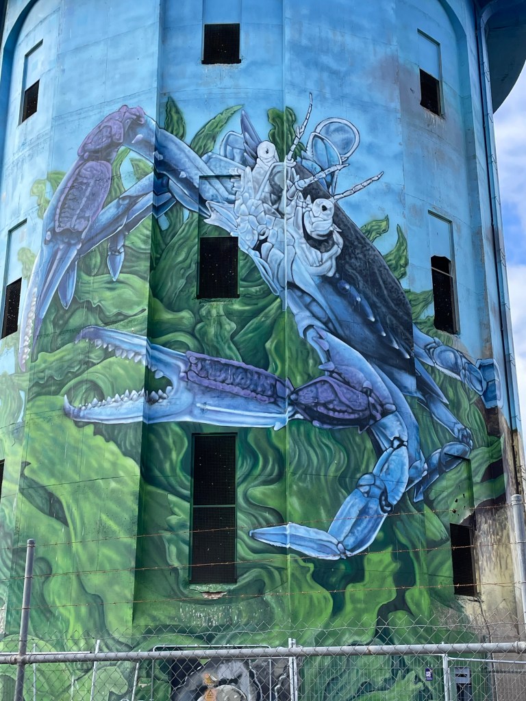
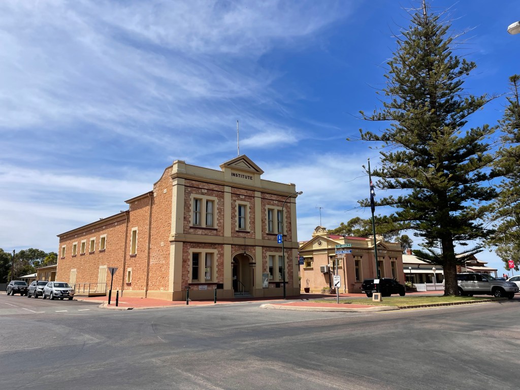
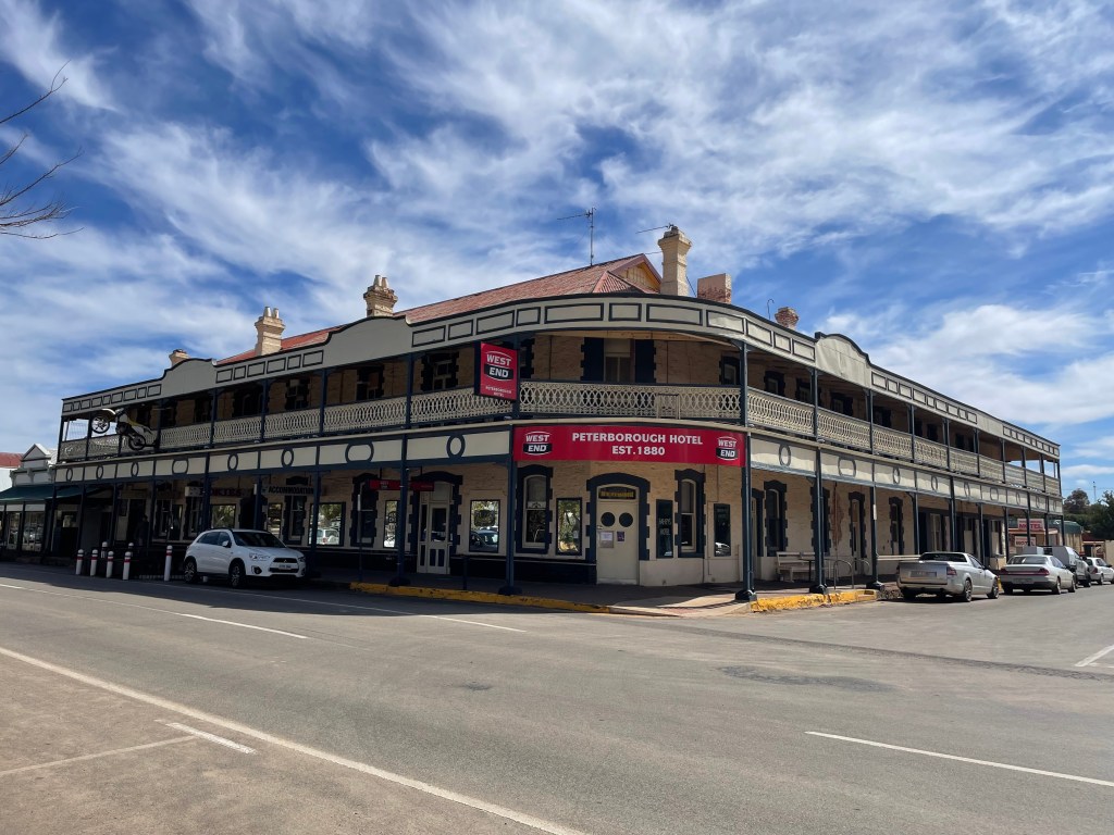
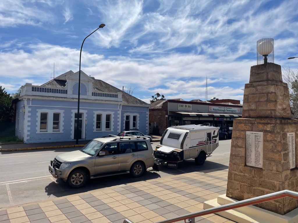
    Peterborough was quite a bustling town. This is wheat country with a still active train service passing through twice a day. The wide main street has grand architecture with 4 pubs and numerous smaller shops and houses dating back to the late 1800’s. After lunch here, we continued to Broken Hill, where we found a delightful “resort” at Mt Gipps. Here there was a large restaurant which could cater for events, but it also serves dinner and lunch every day. We were tucked up in the unpowered sites on a flat grassy bank. The shower facilities were second to none, although a bit of a hike to get to. The night was warm and calm.

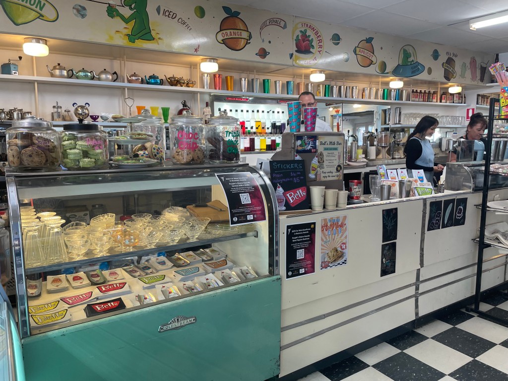
    We spent a relaxed day in Broken Hill, a place that holds memories from a previous trip when we were stuck there with a hole in the petrol tank that needed repairing. This time we re-visited a favourite cafe, Silly Goat, the Regional Art Gallery which is fabulous, and the Memorial to the miners of BHP. Lunch at the retro cafe, Bells, plus a visit to a smaller gallery, and we’d done Broken Hill as best we could in one day.

    Next day, the plan was to get to Nyngan for the night. This is a 580km trip on mostly dead straight roads with not much to see except millions of goats, denuding the landscape…. such a pity to witness this. Many roadkill kangaroos, all in all, a sad scene.

    Flat open country with green grass, after Broken Hill.

    Wilcana park was a fair place to stop for a break. The Darling River was high and flowing unlike last time when we passed through here and it was dry. We pressed on to Cobar for lunch in a cafe we knew from a previous visit. Stocked up with food and drinks for the night, I took over driving for the last 130kms.

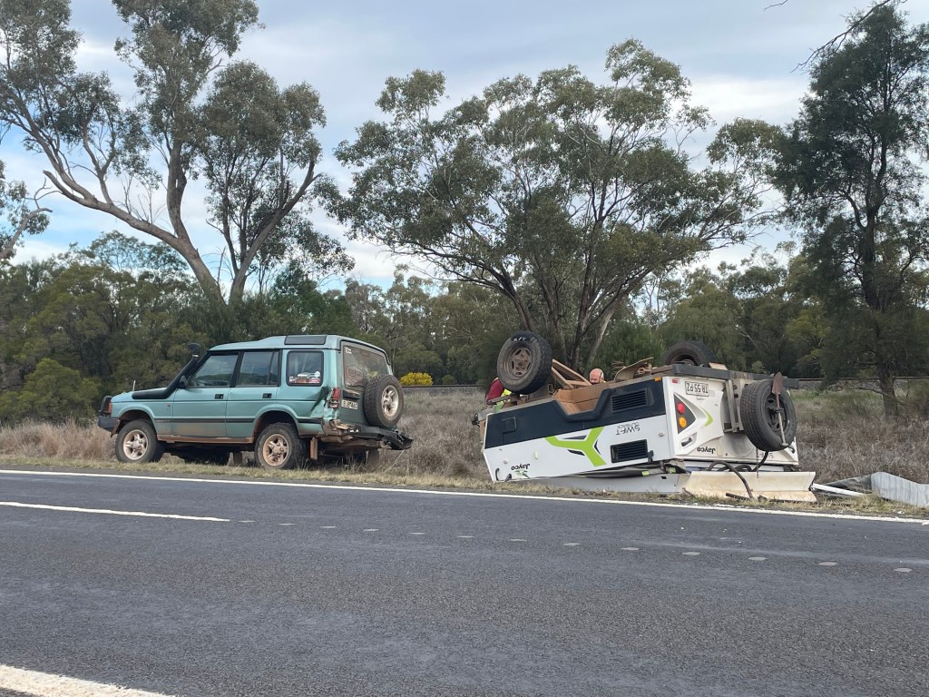
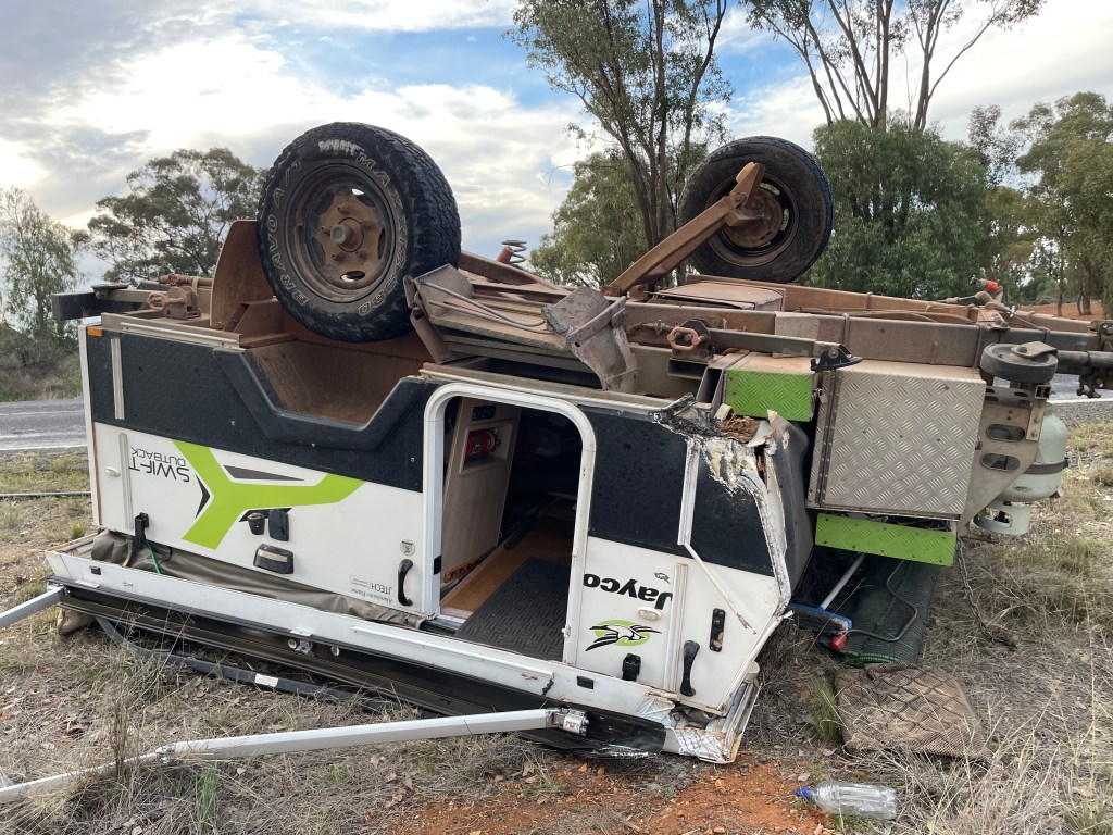
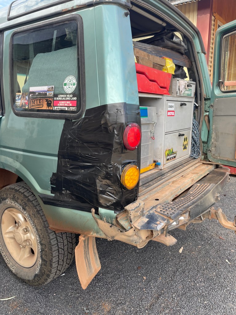
    5 kms from Nyngan, I over-corrected when I was heading into the gravel on the left, causing the caravan to fish-tail. I was doing 100kmh at the time. It’s a strange sensation losing control. I thought “how am I going to stop this!” Then clunk, the van had tipped over onto its roof. This slowed down and ultimately stopped the car. I was facing the on-coming traffic in the right hand side, but only the back of the van was on the road. A man in an on-coming small truck who saw it all happening stopped to assist. He was a local and called the tip truck driver. Within an hour we were in a cabin in Nyngan caravan park, poor Swifty had gone to caravan heaven in a paddock with other wrecks and some lovely horses nearby for company. Next day we salvaged what we could from inside, mostly the food in the cupboards. The fridge contents were slathered with yoghurt. The tomato sauce bottle squirted it’s contents making it look like someone had been badly injured. My big regret was forgetting to get the gin, rum and coffee out….I’ll think of those as the sacraments to bless the van on its next journey wherever.

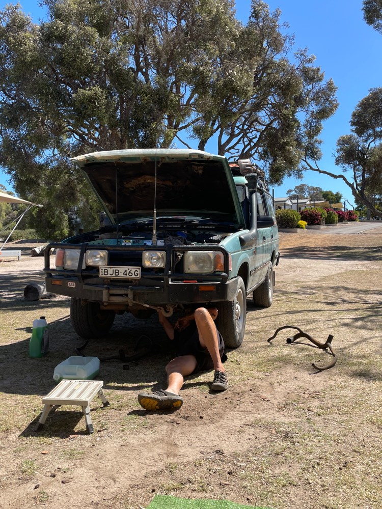
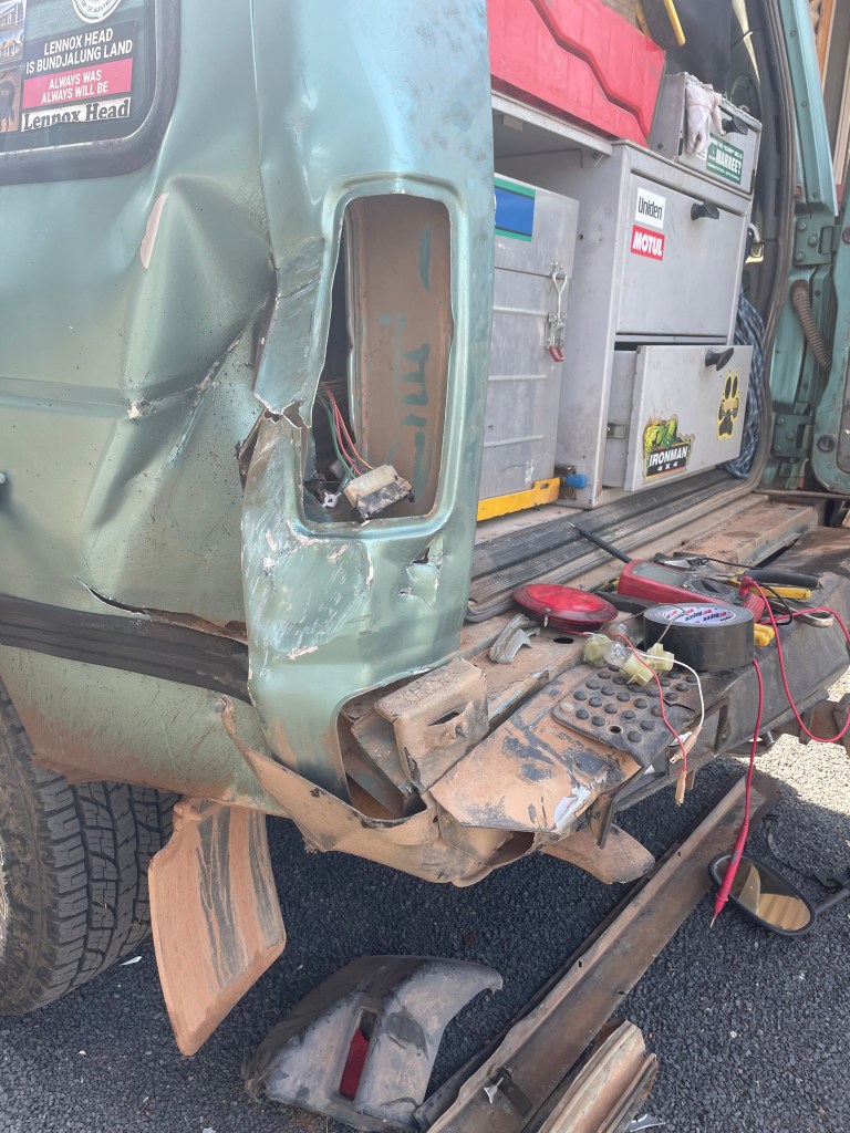
    My lesson from this is not to drive late in the afternoon. This was just the second time I had driven the car with the van on…in all our time travelling around Australia, I never drove. The blessing was the tow-hitch that could swivel 180 degrees without tipping the car. The damage to the car was not minor, the lights on the back were wrecked. The boys rigged up an amazing substitute set, using Swifty’s rear lights. This made the car roadworthy enough to drive home even though it looks odd.

    Home safe and sound, albeit a bit battered.

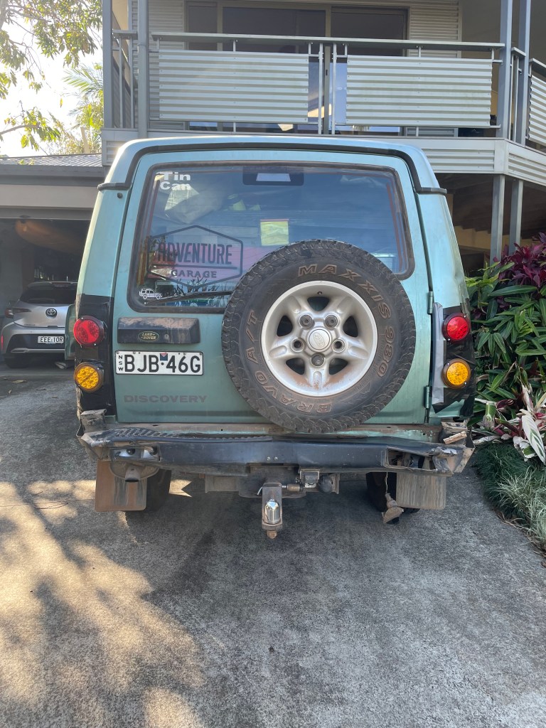
    From Nyngan to Tamworth to Lennox Head. The journey ends and probably our caravanning days could be over. We’ve had years of adventures with Swifty, it’s sad he’s so battered about but looking at the silver lining, we can begin afresh in different ways. We’ve thoroughly explored Australia, now it is time to see a few International destinations we’ve always wanted to visit. All in good time.

    This will be the very last blog. Thank you for taking the journey with us, it’s been thrilling, awesome and unforgettable. Our wonderful fellow travellers Andrew and Marilyn have saved us through thick and thin in so many ways, with mechanical help, meals, laughter and a great friendship, thank you. Neil & Erica, was a pity not to go the full distance with you this time, but what we did with you was so much fun, a little edgy at times, spectacular, hilarious and rich with memories.

    Jenny & Nick

    Setting off in style for new adventures without Swifty.

  • Yorke Peninsula, SA

    Posted March 10th 2024

    We asked random people as we travelled, “what should we do on the Yorke Peninsula”. Many said forget it, not much of interest there. Even the tourist information officer in Ceduna seemed vague and only directed us to the National Park right down on the southern tip as a place with great beaches. So the challenge was on. 

    One of the best water tank murals, at Edithburgh.

    I scanned all the glossy brochures and determined a route for us to take. First off we landed at Wallaroo, after a smooth ferry trip across Spencer Gulf from the Eyre peninsula. We hadn’t pre-booked any accommodation, so were prepared to wing it and camp wherever we could. First campground we came across was fully booked and crammed cheek by jowl. The suggestion was to try North beach van park, which luckily had plenty of room for us and our site was a gem. We asked for unpowered on grass. We were located right at the back of the park on thick green grass, right beside the beach with a cafe 50 paces away. It was quite hot so we swam late in the day. You could drive on the beach, it was almost like Cable Beach in Broome without the hordes of cars, camels and people. Sunset was towards the west, what a treat each evening for us to see from our van.

    Anyway, still scanning the brochures I realised that many towns on Yorke had art installations or murals mostly on water tanks, so we started with a goal to find and photograph as many as possible. Each painting had an interpretive board, helping us to get a deeper understanding of the history of the area. The painting above at Wallaroo station was about 50 metres long, but this picture shows an empty jetty, in memory of the 1917 Spanish flu pandemic and the arrival of Covid 19, while this mural was being painted.

    Probably almost my favourite mural, found in Kadina. She is the May Queen holding a sheath of wheat and a piece of copper. Reference to the Cornish history of the area.

    So from Wallaroo, we did a quick day trip to Kadina, the biggest town on Yorke, where I found a couple of lovely murals. The town was a good service area for the north of the Peninsula.

    We took the main road south to Moonta, Maitland and Port Victoria. They were each quite nice towns which could warrant a short stop, but we chose Port Victoria for a coffee and cake stop. Wrong decision. We opted for the boxed cold coffee as there was nothing else on offer. 

    The towns are only about 20km apart. The whole Peninsula is just 40km wide. The landscape was dry, wheat stubble everywhere, poor sheep again nibbling the dirt.

    We drove into Minlaton, where we should have had our coffee, anyway, we found a display about Harry Butler. Not the naturalist who was popular in the ’70’s, but Harry Butler the aviator. He was an army Captain and Chief Flight instructor during WW1. Here in Minlaton was his aircraft, the Red Devil, the sole remaining Bristol MC1 fighter plane out of 130 made in England. In 1919, he flew the first over-water mail run in the southern hemisphere across Gulf St Vincent. Sadly he crashed his plane on a later flight and died aged 34.

    As we drove southwards, the landscape was a little repetitive, so many dun coloured fields. Many pretty farm houses made with sandstone blocks and red brick corners dotted the horizons, but not much greenery. Maybe people were right about “boring” Yorke Peninsula.

    White (pink) lake

    We came in Yorketown, quite a big well populated bustling town. Reputably it is surrounded by pink lakes. We looked and looked but only found white salt lakes, dry and nothing like pink. Since leaving Wallaroo in the morning we had barely travelled 150kms and yet we were close to the south coast. So we decided on Edithburgh for a couple of nights. This was instead of the National Park at the end of the Peninsula, mainly because we had seen lots of great beaches and bush scenery and we didn’t care to camp in the dunes as it was quite hot. 

    Edithburgh was perfect for us. A quite historic town on the south east coast almost directly across the Gulf from Adelaide. It once had a bustling port, it’s biggest export being salt from the alleged pink lakes. We took off on the bikes when we first arrived to do a reccy of the town and to my delight I found a sea pool built into the cliff. We spotted a couple of pubs – possibilities for dinner and a great art installation of a horse in the main street.

    So straight away, seeing as it was 34C, I headed to the pool. A group of school boys were there so I swam in the small pool until they left. Then pure heaven. Being in the sea, over rocks and corals and seaweeds with a shark net around the edge and I was in my element. Very hard to get out, but Nick doesn’t do cold water, (which it wasn’t), so he sat in the shade for the hours that I swam and chatted to a local. 

    After Edithburgh, the Vincent Highway took us up the east coast. The cliffs along this coast are fairly low and the shore seems to have been eroded. Seaweed mountains line the beaches and the smell knocks you over. Tiny cheap shacks huddle together on the edge in these remote fishing towns.

    At Stansbury, quite a big town, we got coffee and I saw and photographed some lovely murals. At Port Vincent I bought some local green prawns from the fisherman….and it was Sunday! How good was that! We kept a lookout for more art and were not disappointed. Some artists were very good, others not quite, but each mural brightened up some pretty dull walls.

    We decided to stop at Ardrossan for the night. We had no booking but snagged a grassy spot without any noisy neighbours for 3 nights. Ardrossan is quite a substantial port where they still ship out dolomite. There’s a long jetty where people throw nets out to catch the blue swimmer crabs or the squid, like we saw at Edithburgh. 

    The crash

    There are some lovely bike paths along the foreshore cliffs. We headed off towards the north one morning, I’m quite confident now on my E bike, probably too confident. I crashed as I squeezed between 2 bollards, down onto the gravel knee first. The bike ended on top of me, wedged between the bollards. I instantly knew where the main damage to my body was…the end of the handlebar went straight into my boob. I had my mobile in my pocket, hence a large bruise on my thigh. Two weeks after that day, the scabs are better but the bruises persist. It took a couple of days of aches to realise I had more sore points than I thought, but all’s well now and I’m back on the bike.

    Nick considering replacing the Landy with a stump jump plough.

    There’s a history connected to the stump jump plough and Ardrossan. The National Trust museum in town is excellent with a great variety of memorabilia. A full history of Clarence Smith and his pioneering work to develop the stump jump fills the museum. It’s staggering to think that all the thousands of acres of wheat paddocks were once covered in Mallee scrub that had to be cleared. The physicality of such a feat on such a large scale  is reaping benefits today with massive wheat harvests but at the cost to the environment that could never be measured.

    So the verdict about Yorke Peninsula…. definitely was worthwhile, very different from Eyre, glad we went there.

    The weather was hotting up. 37C on the day we ventured across to Clare, north of Adelaide, for our next stop. The car did well, we survived. We drove along some small dusty backroads, still seeing acres of wheat stubble, until we reached the hills of the Clare valley. Suddenly, rising up off the flat plains, everything just compacted into small quaint villages, narrow roads lined with grape vines, very charming stone cottages and enormous gum trees. Such an instant contrast to where we’d been. The pool was fabulous at the caravan park, shaded by huge gums, surrounded by lush lawns. 

    As you do in Clare, we visited wineries, until we got to realise it was an expensive luxury and the car drawers were filling up fast. At Sussex Squire winery, the lady said they’d had no rain since late January and relied on tank water. The vines weren’t withering and the harvest was coming in, but the aridity seemed heartbreaking, even if the grapes were going to produce a good vintage.

    Next we considered a history stop and chose to visit the oldest winery in Clare, Sevenhills, founded in 1851 by a Jesuit priest and named in honour of the seven hills of Rome. The historic information on display was terrific. It reminded me of the book club novel we did called Devotion by Hannah Kent, which featured the pioneering Lutherans.

    There was a 3km walking trail around Sevenhills property, which would have been informative if you could manage the hot dusty weather. But we did look through St Aloysius’ Church and the crypt, which had 42 Jesuits entombed. Apparently no other parish church in Australia has a crypt. The shaded lawns under huge plane trees, cypress’ and oaks is a welcome venue for outdoor and theatre events for the Clare community.

    The next planned stopover was at Gawler. We wanted access to Adelaide but not to be too close to busy streets. It was a short distance from Clare. We stopped on the way at Martindale Hall, a remnant of the early squattocracy of the region.

    Built in 1879, costing 30,000 pounds, it’s opulence must have stunned the average battlers at the time. Edmund Bowman Jnr brought 50 craftsman from England and 10 carpenters from Victoria to build it. In 1965 the Hall with 45 acres was handed over to the SA Government. The photos might give you an idea of it’s magnificence. The huge billiard table was placed in the library before the north wall was completed. It was another worthwhile stop to see how the other half lived, but still they were not immune to hardships like drought and the depression, even in their lavish Georgian fortress.

    I’ll end here, even though I am writing this today from Robe. We’ve had some fun since Clare, lots of car pictures coming soon, and Nick’s write-up about them. We begin what feels like the homeward journey as we traverse the south coast of SA and Vic. There’s probably one more blog in me, maybe two!! In 8 weeks we’ll be back in Lennox. Where’s the year gone?

    Lotsa love to all

    Jen & Nick xxx

  • Eyre Peninsula,S.A

    The hunt for seafood. Posted March 3, 2024

    Pink Lake MacDonnell

    This blog will begin at Cactus Beach, SA. We’d often heard Cleon & Ben rave about their stay there when they circumnavigated Australia years ago. Cactus is just south of Penong, the windmill town. There’s a pink lake – Lake Macdonnell – along the way to Cactus, that did have a pink hue, unlike some others we’ve been to recently. Cactus was discovered in the 60’s by surfers, and offers three great breaks. Our Ballina family were chuffed when we let them know we’d made it there.

    We motored along to Ceduna, a town best known for a fuel and supplies stop once you’ve crossed either way over the Nullarbor. The unfortunate presence of desperate people wandering the main street didn’t enhance Ceduna for us. Loaded up with our supplies, we headed off to Streaky Bay, about an hour south down the west coast of the Eyre, for 3 nights. There was very little to see along the Flinders Hwy except extremely dry paddocks, sheep huddled together for shade in a treeless landscape and lots of caravaners heading west.

    Streaky Bay

    Lovely town. But we are finding that arriving on Saturday afternoon, most places are closed, and on Sunday also. We had decided to be pescatarians for the entire Eyre Peninsula, seeing as it has a reputation as a seafood haven. I wanted to shop from seafood co-ops for fresh locally caught fish, but it was closed until Monday. Even the supermarket only had the usual packets of seafood from who-knows-where! So we went to the pub for nice local whiting fish and chips. Next night, I resorted to a tin of salmon with pasta – very nice but not local. On Monday, we bought local whiting from the co-op, was a bit underwhelming, missing out on the freshness I expected, probably frozen for too long.

    There was a good bike track from our caravan park around the bay to the boat launching ramp, which we did each morning. We saw a cheeky sea lion poke his head up near the ramp. The bird life along the shore line was ever present and the squeaky pink and greys boisterously squawked in the caravan park. It was very hot here in Streaky, but the bay in front of our van was so shallow for so far out that swimming was not an option.

    There are 2 driving loops around the ocean cliffs from Streaky Bay, the Westall Loop and the Cape Bauer Loop. The first stop on the Westall loop, Smooth pools, had beautiful lichen covered rocks and deep pools with all sorts of sea life.

    The views from the cliff tops of the loop, with the pounding waves and turquoise sea were spectacular. Matthew Flinders first sighted these cliffs in 1802 from HMS Investigator. He named Point Westall after the landscape painter on board his ship.

    Back beach Steaky Bay. The most beautiful beach I didn’t swim in, still regret that.

    The Cape Bauer loop further emphasised how dramatic the coastline is here on Eyre Peninsula.

    We packed up and headed south along the west coast, stopping at a wonderful natural feature called Murphy’s Haystacks. From a distance it looked like a henge common to the UK, but in fact they are Inselbergs, 15 million years old at least. They are formed by the uneven weathering of the crystalline rock, called pink Hilbata Granite, which forms pillar or boulder shapes. It felt like Picnic at Hanging Rock walking through the narrow entrance to who knew where? Such a worthwhile stop.

    We chose to spend a night at Elliston next, a very small coastal village with a pleasant caravan park tucked behind the dunes. Here, there was another loop drive around the coast, but this one featured art installations. Quirky describes some of them, not very good describes others. One was particularly good, mainly due to it’s placement and it’s simplicity. Can you guess our favourite?

    We scanned the Elliston supermarket fridges for fresh seafood, but alas nothing was to be found. We settled for smoked salmon and cream cheese in some very fresh bread rolls, bought from a roadside bakery that randomly popped up on our journey. A man and his wife bake in a wood fired oven and have a small stall with loaves and rolls hot from the oven available for passers-by. What a treat.

    From Elliston, Coffin Bay further south was the next destination. Oyster HQ, guaranteed fresh oysters, at least. But again, no seafood outlet except for oysters. We talked to the manager of IGA about our sea food search and she just shrugged her shoulders as if saying, here you have a boat and catch your own, we don’t cater to non-fishermen.

    Oyster HQ, so good.

    One afternoon, we took a lovely boat tour with Experience Coffin Bay oyster tours, fabulous commentary, local wines and gins could be purchased to accompany our 6 freshly shucked oysters. Heavenly.

    Coffin Bay National Park sits off the western tip of the Peninsula (see the map), so we decided to do a day trip there. Packed our lunch, got a SA park pass and set off.  Almonta beach had a sealed road to the great carpark where we had morning tea and saw the amazing waves going in 2 directions.

    Waves breaking in 2 directions at Almonta Beach

    I know Nick loves 4WD and putting the Landy through its paces, but on this day he certainly tested my tolerance limit as a passenger. Coffin Bay National Park and some of it’s bays like Golden Islands, are stunning and amazing. But at Nick’s insistence, we were to drive along the Peninsula towards Point Sir Isaac, reported to be a 6 hour round trip. The warning bells should have sounded in my head by now! So off we set, tyres deflated with rescue gear on board. For an hour and a half, I endured a head crunching, neck jerking, spine crushing ride over a rocky, potholed, sometimes slippery sandy road. I have travelled lots of 4WD tracks with Nick. I’d compare this to a combination of Moreton Island inland track with its corrugation jumps in the sand, Mt Elizabeth Station boulders/rocks, and Cape Francois Peron for its deep sand. We met a couple of blokes in cars coming back from the coast, one said it was certainly worth the effort to go on to Seven Mile beach to the whale skull and beyond. So we pressed on and on and on. Eventually we reached the beach and found the whale skull, which was impressive. I had a killer headache, until we stopped driving. The beach was pristine and water fairly warm, but I wasn’t in the mood for a swim. After lunch we headed back to camp, another hour and a half on the dreadful track. When we got to the bitumen I realised I’d been gritting my teeth hard, they were aching. Probably unconsciously I was trying to avoid sending my teeth through my tongue. Back at camp I needed to re-align my vertebrae and crunch my neck bones back into place. A massage of the muscles in my neck and back and a welcome hot shower and g&t were wonderful. I’m a little bit over this type of adventure.

    I also think it wasn’t fair on the car – remains to be seen if the donut cracks the shits again. Next time a trip like this looms, I’ll carefully weigh up the pluses before I join the driver!

    On our last afternoon at Coffin Bay, I saw Nick under the car, a position he loves. The part at the side has travelled from Lennox.

    Nick: “I found a very small coolant leak from the small hose that you see lying on the ground coming off the big bit on the left. A locating bracket had chafed a very small hole in the pipe in Eucla but it was impossible to buy green coolant there so we pushed on with a small piece of raw rubber held on with two cable ties which actually stopped the leak, to my surprise, all the way to Coffin Bay where I spotted some coolant in the servo and decided to change the old hose out. So it was worth bringing the big cardboard box with all the rubber spares after all.”

    From Coffin Bay it was a very short hop to Port Lincoln, the fishing capital of the Southern Hemisphere so they say. We loved this town. Arrived on Saturday afternoon for 2 nights, bad planning once again! Chose to eat out at a fancy delightful Italian restaurant for prawns and mussels, overlooking the lovely bay on the Saturday night. The fresh seafood outlets again were all closed on the weekend. 

    We visited a unique little museum, Axel Stenross Maritime Museum, on Port Lincoln’s foreshore. It was originally the boat building shed and residence of 2 Finnish immigrants named Axel and Frank. Over 40 years they built wooden boats, as per the list above. After they died, the Port Lincoln Council and townsfolk raised the capital to purchase the site for posterity, and volunteers now run the museum. Great history, so much old stuff, it was a bit like a seafarers version of Margaret Ollie’s house. It looked like the men just up and died and nothing has changed. The museum had a great collection of maritime memorabilia, including outboard motors, which I remembered from fishing with my dad on Port Phillip Bay.

    Our campsite at Port Lincoln was probably one of the best we’ve had on the trip so far. We were perched on the grassy hill overlooking Boston Bay, about a 180 degree view of water. Yachts with colourful spinnakers raced in our view, fishing trawlers motored past, small boats too, it was like Nick’s boating heaven. He sat for hours, thoroughly contented in a camp chair with the binoculars, giving a running commentary, until the boats all went in for the night. 

    Next day we bicycled to the boat harbour and that was another huge treat. Very large fishing fleet moored in the canals, people with boats of all sorts rigging their sails, a dragon boat with pink clad ladies. Many old houses have sea views, are built in pale sandstone and reflect a long history of a profitable township. There is a lot of wealth around the harbour, big houses, big boats, but no seafood outlets open on the weekend.

    Final destination on the Eyre Peninsula was Cowell, another small town with a fishing (mostly oysters) industry. We wedged into a very ordinary campsite, surrounded by campers with boats, mainly tinnies. We discovered a local place to buy oysters direct from the fishermen – at $10 per dozen, caught that morning, what a joy. Sitting quietly with a beer at our campsite, the neighbour gave us a bag of crabs he’d just steamed. Dinner well and truely sorted on the last day of being pescatarians. 

    Post office building 1908 compared to today.

    The next morning we caught the ferry across to the Yorke Peninsula to see what adventures awaited us there. 

    Ferry crossing over Spencer Gulf from Cowell (Lucky Bay) to Wallaroo.

    We are moving along now and are heading along the south coast of SA. So I had better write up the Yorke Peninsula, Clare and Adelaide for the next blog.

    Love to all

    Jen & Nick xxx